Quiz the Map › Printable maps › Largest cities
Largest cities blank map – printable PDF
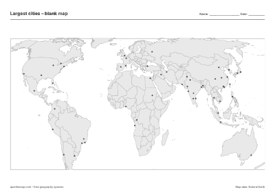
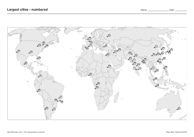
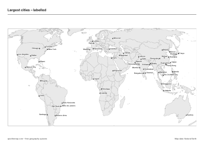
Free A4 worksheets with all 53 cities: a blank outline map, a numbered map with an answer key, and a labelled map. No sign-up, no watermark.
How teachers use it
Print the blank map and let students draw borders, colour cities or mark places you call out. The numbered map has a small number on each of the 53 cities; students write the names on a separate sheet (or next to the number) and you mark it with the answer key on page 2. The labelled map is a reference sheet for study, homework or the classroom wall.
All three are A4 (landscape), vector PDFs that print crisply in black and white, and they are free for schools and personal use. When the paper work is done, the interactive Largest cities quiz is the quickest way to check what stuck.