Australian States outlines quiz
Only the shape is shown, with no map around it. Can you tell which state it is? A great way to really learn Australian States.
Top scores
- The five fastest 100% rounds on this quiz.
Finish with 100% and post your time to get on the board – here or in full screen. All leaderboards
Your next quiz
 Indian States quiz36 states & territories
 Chinese Provinces quiz31 provinces
What's on this map
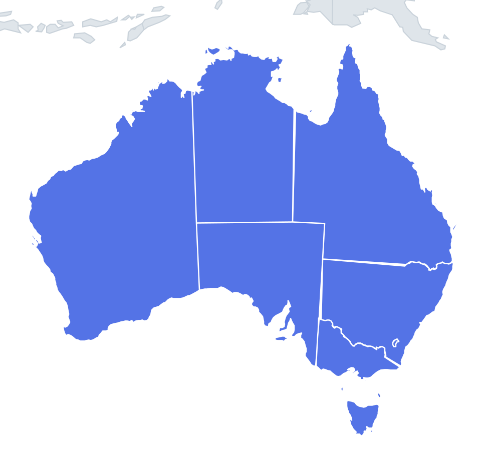
Eight shapes, and most of them were drawn with a ruler. When Britain divided Australia into colonies in the 1800s, it used lines of longitude and latitude rather than rivers or mountains, because inland Australia was barely mapped. That is why so many of the borders are perfectly straight and why the outlines look like puzzle pieces from a box.
Western Australia's eastern border follows the 129th meridian east for its whole length. The Northern Territory and South Australia are split along the 26th parallel. South Australia's eastern border follows the 141st meridian, and Queensland's southern border uses the 29th parallel for much of its length, plus rivers and mountain ridges near the coast.
The places people miss
- Western Australia – the biggest piece, about a third of the country, with a long straight eastern edge and a wide coastline curving round the west.
- Northern Territory – a tall rectangle with a jagged north coast, including the Top End and Arnhem Land.
- South Australia – a rectangle below the Northern Territory, with the two triangular gulfs (Spencer Gulf and Gulf St Vincent) biting into its south coast.
- Queensland – an L shape or a pointing hand, with the long finger of Cape York Peninsula pointing north towards New Guinea.
- New South Wales – a near-square with a straight western edge and a curved southern border following the Murray River.
- Victoria – a small wedge with a straight western edge, narrowing to a point in the east at Cape Howe.
- Tasmania – a heart or shield shape, south of Victoria.
- Australian Capital Territory – a small irregular blob, much smaller than any other piece.
How to learn it
- First learn the two that cannot be confused: Tasmania (an island) and Queensland (Cape York).
- Then compare the rectangles: Northern Territory is taller; South Australia has the gulfs.
- Victoria and New South Wales share a border on the Murray River, so the curved edge you see belongs to both.
- Play Outlines until it is 8 of 8, then try Sudden death.
Guides that help with this
- Oceans, seas, rivers and mountainsThe physical map: seas around each continent, the big rivers and ranges.
- Why you forget countries – and how spaced repetition fixes itThe forgetting curve, and how the Mistake Bank and flashcards use it.
- Flags that look alike (and how to tell them apart)Chad or Romania? Australia or New Zealand? The flag pairs that cost quiz points.
How it works
Each question shows one outline and four names. Similar-sized states & territories are mixed in, so it gets tricky.
All 8 states & territories in this quiz
Australian Capital Territory, New South Wales, Northern Territory, Queensland, South Australia, Tasmania, Victoria, Western Australia.