Danish Municipalities outlines quiz
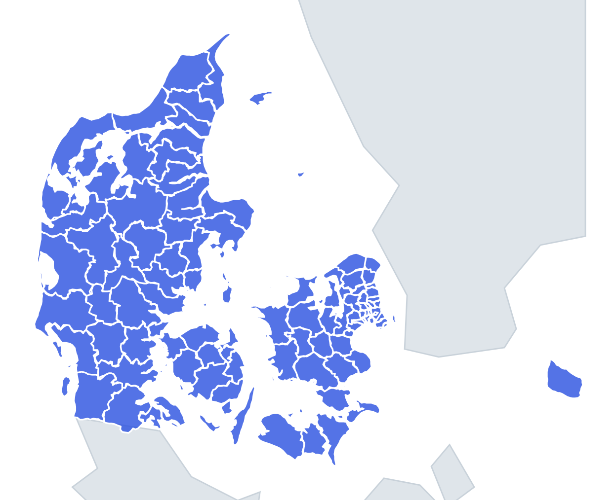
Only the shape is shown, with no map around it. Can you tell which municipality it is? A great way to really learn Danish Municipalities.
Top scores
- The five fastest 100% rounds on this quiz.
Finish with 100% and post your time to get on the board – here or in full screen. All leaderboards
Your next quiz
 50 US States quiz50 states
 German States quiz16 states
 Danish Regions quiz5 regions
What's on this map
Ninety-eight shapes, and most of them only make sense with the sea or a fjord beside them. Limfjorden is the key to northern Jutland: it cuts right across the peninsula, so Morsø is an island in the middle of the fjord, Thisted and Vesthimmerlands wrap around its arms, and Aalborg sits where it narrows. The east coast of Jutland is lined with fjords – Mariager, Randers, Horsens, Vejle and Kolding – and the municipalities named after them often have a fjord biting into their shape.
Size helps too. Ringkøbing-Skjern is the largest municipality in Denmark, a big shape on the west coast with Ringkøbing Fjord inside it. Frederiksberg is among the smallest, a compact block in the middle of København. The island municipalities – Bornholm, Læsø, Samsø, Fanø, Ærø and Langeland – are their own shapes and are the easiest points.
The places people miss
- Langeland – a long, thin island running north to south, east of Funen.
- Samsø – shaped like an hourglass, pinched in the middle.
- Morsø – the island of Mors, entirely surrounded by Limfjorden.
- Bornholm – a rough diamond far out in the Baltic.
- Stevns – a blunt nose on the east coast of Zealand, ending in the chalk cliff of Stevns Klint.
- Odsherred – the hooked shape on Zealand's north-west corner, wrapped around Sejerø Bugt.
- The Copenhagen suburbs – Glostrup, Rødovre, Albertslund, Vallensbæk and Ishøj are small, similar blocks; learn them by neighbours, not by shape.
- Tønder – the wide south-western municipality whose southern edge is the border with Germany, drawn after the 1920 plebiscite.
How to learn it
- Start with the islands and the big outlines: Bornholm, Langeland, Samsø, Ringkøbing-Skjern, Odsherred.
- Learn the Limfjord municipalities next, using the fjord as your guide.
- Leave the Copenhagen ring for last; it is easier to recognise those from the map than from the outline alone.
- Play Find on the map first, then the outline round, and aim for 80 or more.
Guides that help with this
- Oceans, seas, rivers and mountainsThe physical map: seas around each continent, the big rivers and ranges.
- Why you forget countries – and how spaced repetition fixes itThe forgetting curve, and how the Mistake Bank and flashcards use it.
- Flags that look alike (and how to tell them apart)Chad or Romania? Australia or New Zealand? The flag pairs that cost quiz points.
How it works
Each question shows one outline and four names. Similar-sized municipalities are mixed in, so it gets tricky.
All 98 municipalities in this quiz
Aabenraa, Aalborg, Aarhus, Ærø, Albertslund, Allerød, Assens, Ballerup, Billund, Bornholm, Brøndby, Brønderslev, Dragør, Egedal, Esbjerg, Faaborg-Midtfyn, Fanø, Favrskov, Faxe, Fredensborg, Fredericia, Frederiksberg, Frederikshavn, Frederikssund, Furesø, Gentofte, Gladsaxe, Glostrup, Greve, Gribskov, Guldborgsund, Haderslev, Halsnæs, Hedensted, Helsingør, Herlev, Herning, Hillerød, Hjørring, Høje Taastrup, Holbæk, Holstebro, Horsens, Hørsholm, Hvidovre, Ikast-Brande, Ishøj, Jammerbugt, Kalundborg, Kerteminde, København, Køge, Kolding, Læsø, Langeland, Lejre, Lemvig, Lolland, Lyngby-Taarbæk, Mariagerfjord, Middelfart, Morsø, Næstved, Norddjurs, Nordfyns, Nyborg, Odder, Odense, Odsherred, Randers, Rebild, Ringkøbing-Skjern, Ringsted, Rødovre, Roskilde, Rudersdal, Samsø, Silkeborg, Skanderborg, Skive, Slagelse, Solrød, Sønderborg, Sorø, Stevns, Struer, Svendborg, Syddjurs, Tårnby, Thisted, Tønder, Vallensbæk, Varde, Vejen, Vejle, Vesthimmerlands, Viborg, Vordingborg.