Danish Regions outlines quiz
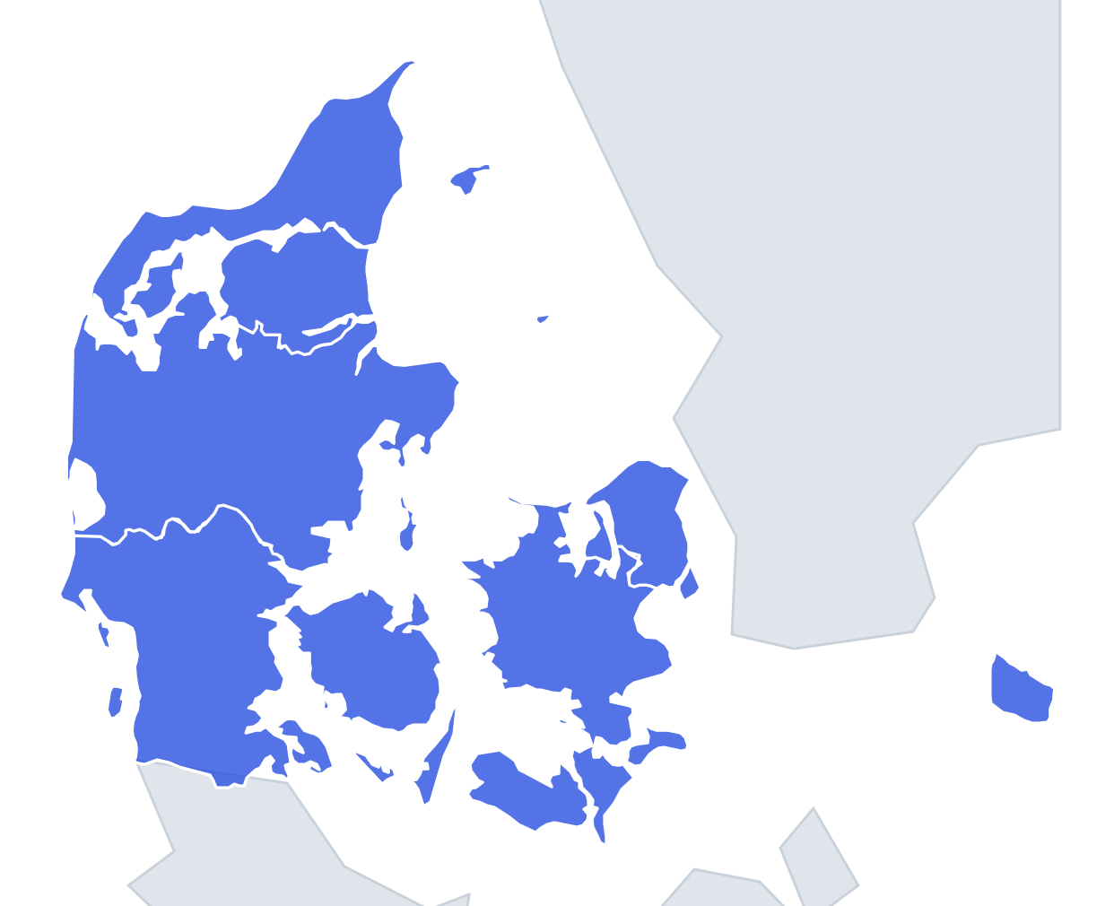
Only the shape is shown, with no map around it. Can you tell which region it is? A great way to really learn Danish Regions.
Top scores
- The five fastest 100% rounds on this quiz.
Finish with 100% and post your time to get on the board – here or in full screen. All leaderboards
Your next quiz
 Danish Municipalities quiz98 municipalities
 50 US States quiz50 states
What's on this map
Five outlines, one for each Danish region created on 1 January 2007, when they replaced the old counties (amter). Without the rest of Denmark around them the shapes are less obvious than you might think, because almost every region includes islands that change its silhouette.
Size is the first clue. Midtjylland is the largest at roughly 13,000 km², Syddanmark comes close behind, Nordjylland and Sjælland are mid-sized, and Hovedstaden is by far the smallest at about 2,500 km² – yet it has the most people.
The places people miss
- Hovedstaden – the outline comes in two pieces: the north-eastern corner of Zealand with Copenhagen and Amager, and Bornholm floating far to the east in the Baltic. If you see a small blob with a distant island, it is this one.
- Sjælland – it wraps around Hovedstaden, so its outline has a bite missing at the top right. Lolland, Falster and Møn hang underneath as a string of islands.
- Nordjylland – the tip of Jutland, ending in the narrow spit at Skagen that points north-east like a horn. The Limfjord cuts across it, and the islands of Læsø and Mors belong here too.
- Midtjylland – a wide band right across Jutland from the North Sea to the Kattegat, with the Djursland peninsula sticking out east like a nose. Samsø and Anholt are its islands.
- Syddanmark – the only region that straddles the Little Belt: southern Jutland on the left, Funen on the right, with Als, Langeland and Ærø scattered around. The straight southern edge is the German border.
How to learn it
- Look for islands first. Bornholm means Hovedstaden, Funen means Syddanmark, and Lolland-Falster means Sjælland.
- Then use the Jutland coastline: a pointed northern tip is Nordjylland, the eastern nose of Djursland is Midtjylland.
- Play Study the map once with outlines on and trace each region with your finger, saying its name.
- Learn which edge is the open coast: Nordjylland, Midtjylland and Syddanmark all face the North Sea on the west, while Sjælland and Hovedstaden have no North Sea coast at all.
- Five shapes is short, so aim for a perfect run in under 20 seconds, then move on to Capitals, where Viborg, Vejle, Sorø and Hillerød are the real test.
Guides that help with this
- Oceans, seas, rivers and mountainsThe physical map: seas around each continent, the big rivers and ranges.
- Why you forget countries – and how spaced repetition fixes itThe forgetting curve, and how the Mistake Bank and flashcards use it.
- Flags that look alike (and how to tell them apart)Chad or Romania? Australia or New Zealand? The flag pairs that cost quiz points.
How it works
Each question shows one outline and four names. Similar-sized regions are mixed in, so it gets tricky.
All 5 regions in this quiz
Hovedstaden, Midtjylland, Nordjylland, Sjælland, Syddanmark.