North America outlines quiz
Only the shape is shown, with no map around it. Can you tell which country it is? A great way to really learn North America.
Top scores
- The five fastest 100% rounds on this quiz.
Finish with 100% and post your time to get on the board – here or in full screen. All leaderboards
Your next quiz
 South America quiz12 countries
 Countries of the World quiz197 countries
What's on this map
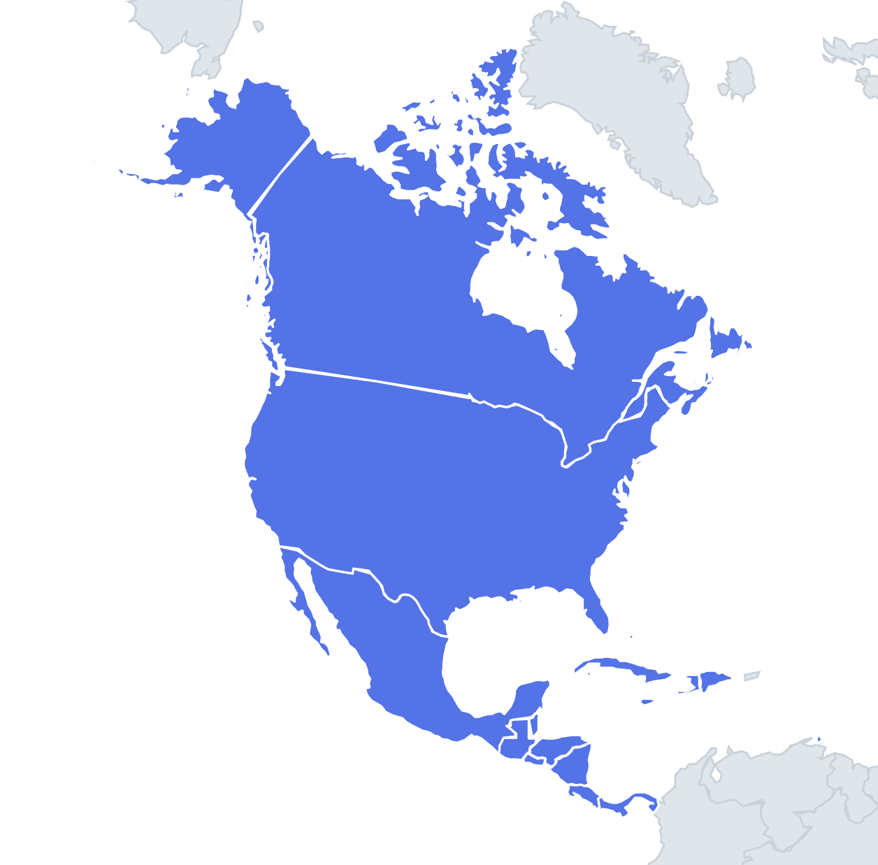
Twenty-three silhouettes, and the trick is that size gives nothing away: each shape is scaled to fit the box, so Grenada can look as big as Canada. Instead you read edges. Canada is the shape with a ragged Arctic top full of islands and a ruler-straight southern edge along the 49th parallel. The United States is the reverse – that same straight line on top, with Florida hanging off the bottom right. Mexico is a curved horn tapering to the southeast, with the thin Baja California peninsula alongside.
The isthmus countries form a sequence. Guatemala is chunky with a square northern block. Honduras is an upside-down triangle with a long Caribbean coast on top. Nicaragua is a near-triangle with a straight Caribbean side on the right. Panama is a flattened S-curve, the only shape on the map that snakes from west to east.
The islands are the real test. Cuba is long and thin, a crocodile lying on its side. Hispaniola's halves give a mirror pair: Haiti is the western half shaped like a lobster claw, open to the west, and the Dominican Republic is the blunter eastern two-thirds.
The places people miss
- El Salvador – a short, wide rectangle with only a Pacific coast.
- Belize – a tall, narrow rectangle with a jagged coast of cays on its right edge.
- Jamaica – an oval roughly three times as long as it is wide.
- Trinidad and Tobago – Trinidad is a square with two "arms" pointing west towards Venezuela; Tobago is the small sliver to the northeast.
- Antigua and Barbuda vs St Kitts and Nevis – both are two-island shapes. St Kitts is a tadpole with Nevis as a round dot just below its tail; Antigua is a rounded blob with Barbuda further north.
- The Bahamas – not one shape but a long spray of narrow islands running northwest to southeast.
How to learn it
- Run Study the map first and note one edge per country.
- Learn the islands in pairs – Haiti and the Dominican Republic, St Kitts and Antigua, Dominica and St Lucia – because they are where swaps happen.
- Let the Mistake Bank collect the small Windward Islands and drill them as flashcards.
- Done means 21 or more of 23 in one run.
Guides that help with this
- Oceans, seas, rivers and mountainsThe physical map: seas around each continent, the big rivers and ranges.
- Why you forget countries – and how spaced repetition fixes itThe forgetting curve, and how the Mistake Bank and flashcards use it.
- Flags that look alike (and how to tell them apart)Chad or Romania? Australia or New Zealand? The flag pairs that cost quiz points.
How it works
Each question shows one outline and four names. Similar-sized countries are mixed in, so it gets tricky.
All 23 countries in this quiz
Antigua and Barbuda, the Bahamas, Barbados, Belize, Canada, Costa Rica, Cuba, Dominica, the Dominican Republic, El Salvador, Grenada, Guatemala, Haiti, Honduras, Jamaica, Mexico, Nicaragua, Panama, St Kitts and Nevis, St Lucia, St Vincent and the Grenadines, Trinidad and Tobago, the United States.