Oceania quiz
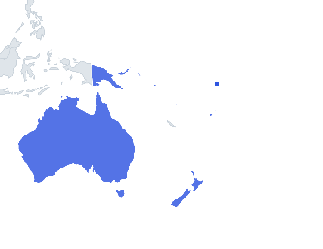
Can you find all 14 countries on the map? Tap the right place, see how fast you can reach 100%, and practise the ones you missed until you know them all.
Top scores
- The five fastest 100% rounds on this quiz.
Finish with 100% and post your time to get on the board – here or in full screen. All leaderboards
Your next quiz
 Nordics quiz5 countries
 Balkans quiz12 countries
What's on this map
Fourteen countries, and the big ones take care of themselves: Australia, New Zealand and Papua New Guinea on the eastern half of New Guinea. The other eleven are island states spread across an enormous stretch of Pacific, so what you are really learning is where each cluster sits relative to Australia.
The Melanesian arc runs southeast from Papua New Guinea: Solomon Islands, then Vanuatu, with Fiji further east. North of the Solomons, in Micronesia, lie Palau (closest to the Philippines), the Federated States of Micronesia, the Marshall Islands, Nauru (a single tiny island) and Kiribati, which straddles the equator.
Polynesia is the far east: Tuvalu north of Fiji, Samoa and Tonga east of Fiji, with Tonga south of Samoa. Capitals are mostly obscure (Palikir, Ngerulmud, Majuro, Funafuti), and populations run from Australia's 27.6 million down to Nauru's 12,025 and Tuvalu's 9,492.
The ones people miss
- Nauru - a single island, barely a pixel. Memory hook: just south of the equator, between Papua New Guinea and Kiribati.
- Tuvalu - nine atolls north of Fiji. Memory hook: between Kiribati and Fiji, the smallest population on the map.
- Micronesia vs Marshall Islands - both scattered atoll chains. Memory hook: Micronesia is west, toward Palau; the Marshalls are east.
- Palau's capital is Ngerulmud, not Koror. Memory hook: a purpose-built capital on the big island.
- Kiribati's capital is South Tarawa. Memory hook: the atoll of the WWII battle.
- Samoa vs Tonga - close together in Polynesia. Memory hook: Samoa north with Apia; Tonga south with Nuku'alofa.
How to learn it
- Study the map first; you need to see the three regions (Melanesia, Micronesia, Polynesia) before Find on the map makes sense.
- Play Find on the map and accept that Nauru and Tuvalu need deliberate tapping; zoom in.
- Capitals mode is the hard part; use flashcards from the Mistake Bank for the Micronesian capitals.
- Flags mode is pleasant since many Pacific flags use the Southern Cross or a single star.
- Done means 14 of 14 in Find on the map and 12 or more in Capitals.
Guides that help with this
- The 25 hardest countries to find on a mapPacific islands, Caribbean islands and landlocked Africa – where they are.
- Flags that look alike (and how to tell them apart)Chad or Romania? Australia or New Zealand? The flag pairs that cost quiz points.
- Learn all 197 countries in 30 daysA day-by-day plan: one region at a time, spaced repetition for review.
How to play
A name appears at the top. Tap that place on the map. You get three tries: green means first try, yellow second and orange third. After three misses the right place flashes. Tiny places get a circle so they are easy to hit, and you can zoom with two fingers or the mouse wheel.
Want a harder test? Try Name them all (type every country you can remember before the clock runs out) or Sudden death (one mistake and the game is over).
All 14 countries
| Country | Capital | Population (approx.) |
|---|---|---|
 Australia | Canberra | 25.4 million |
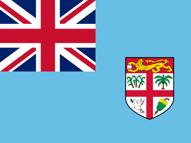 Fiji | Suva | 889,953 |
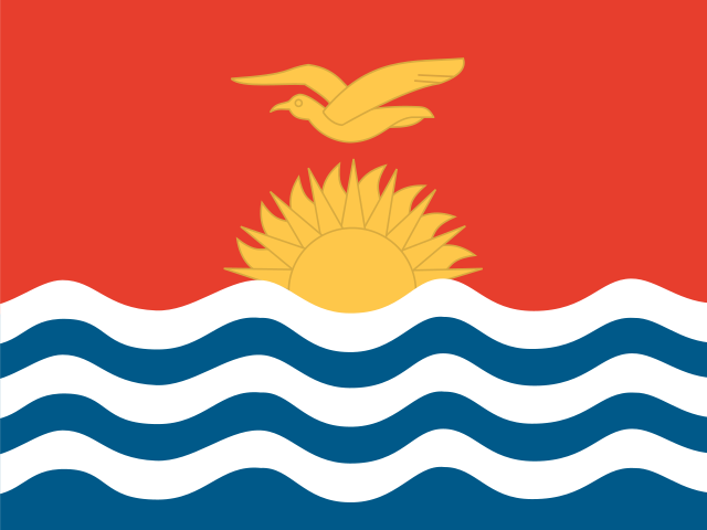 Kiribati | South Tarawa | 117,606 |
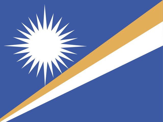 Marshall Islands | Majuro | 58,791 |
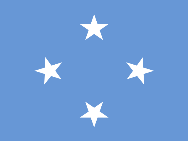 Micronesia | Palikir | 113,815 |
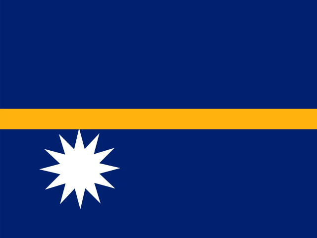 Nauru | Yaren | 12,581 |
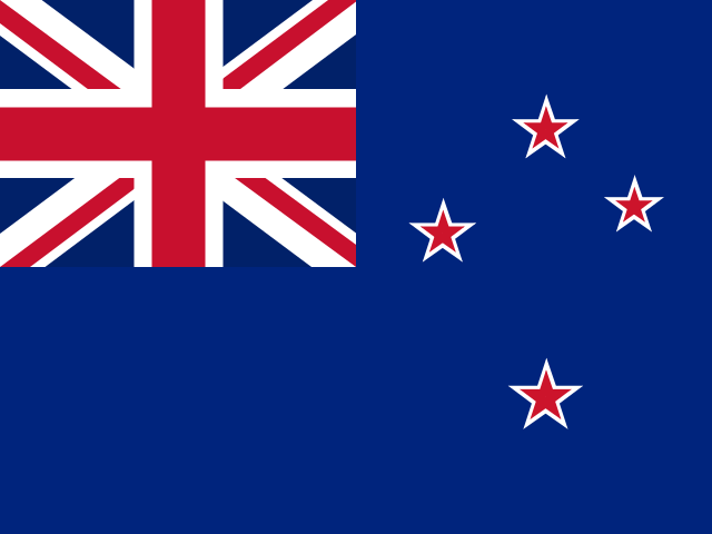 New Zealand | Wellington | 4.9 million |
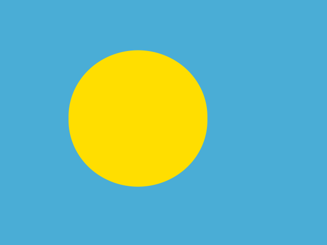 Palau | Ngerulmud | 18,008 |
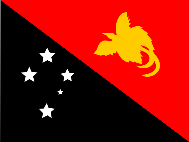 Papua New Guinea | Port Moresby | 8.8 million |
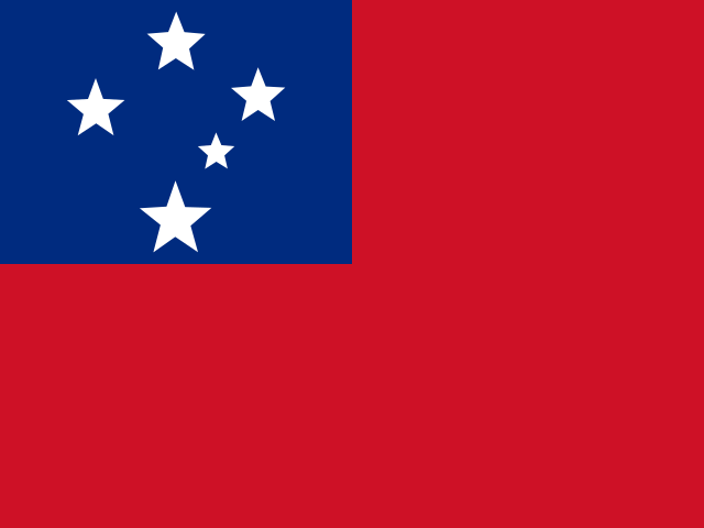 Samoa | Apia | 197,097 |
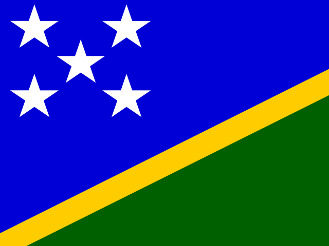 Solomon Islands | Honiara | 669,823 |
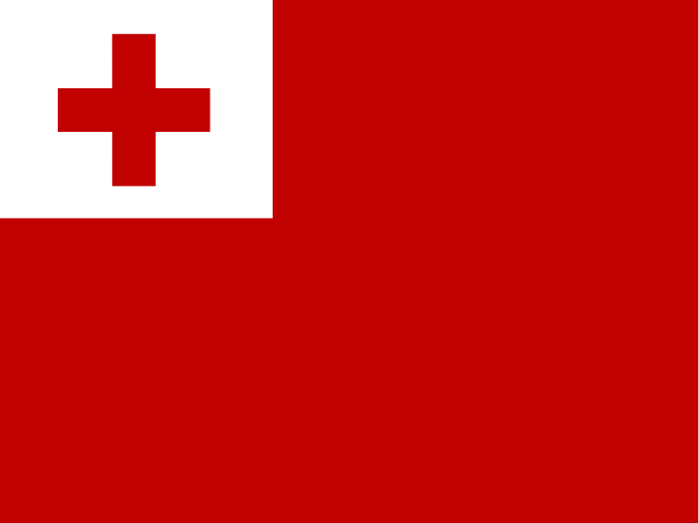 Tonga | Nuku'alofa | 104,494 |
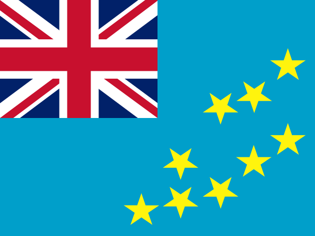 Tuvalu | Funafuti | 11,646 |
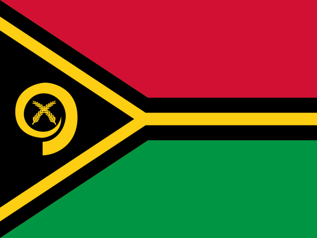 Vanuatu | Port Vila | 299,882 |