Southeast Asia outlines quiz
Only the shape is shown, with no map around it. Can you tell which country it is? A great way to really learn Southeast Asia.
Top scores
- The five fastest 100% rounds on this quiz.
Finish with 100% and post your time to get on the board – here or in full screen. All leaderboards
Your next quiz
 East Asia quiz6 countries
 West Africa quiz16 countries
What's on this map
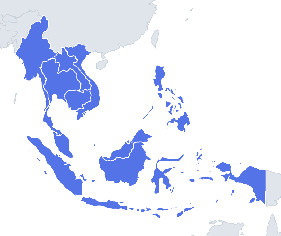
Eleven shapes, from the thousands of islands of Indonesia to the single small island of Singapore. Several outlines here are among the easiest in Asia: Vietnam is the long S-shape along the coast, about 1,650 km from north to south and only around 50 km wide at its narrowest point near Đồng Hới. Thailand is often said to look like an elephant's head, with the southern peninsula as the trunk.
The hard part is that most of the island countries are not one shape but many pieces. Indonesia stretches roughly 5,000 km from Sumatra to New Guinea, and the Philippines has over 7,000 islands. Look for the biggest pieces and how they are arranged rather than the overall outline.
The places people miss
- Malaysia – two separate parts: Peninsular Malaysia hanging off Thailand, and Sabah and Sarawak on northern Borneo, separated by about 600 km of the South China Sea. If an outline shows two distant blocks with sea between, it is Malaysia.
- Brunei – two small pieces on the coast of Borneo, split by a strip of Malaysia. The western part is much larger.
- Timor-Leste – a long thin island half, plus the small Oecusse exclave on the north coast of the Indonesian side and the island of Atauro off Dili.
- Laos vs Cambodia – Laos is the long, bent landlocked shape that runs north-west to south-east; Cambodia is compact and roughly round, with a short coastline.
- Myanmar – a diamond-shaped core with a long, narrow tail running south down the Andaman Sea coast, side by side with the top of Thailand's peninsula.
How to learn it
- Sort by type first: long and thin (Vietnam, Laos, Myanmar's tail), compact (Cambodia, Thailand's core), split into parts (Malaysia, Brunei, Timor-Leste) and archipelagos (Indonesia, the Philippines, Singapore).
- For the Philippines, look for Luzon as a large northern island and Mindanao as a large southern one, with the Visayas scattered between them.
- For Indonesia, Sumatra and Java form a long diagonal chain on the western end.
- Done is a full round with no hesitation between Laos and Cambodia.
Guides that help with this
- Oceans, seas, rivers and mountainsThe physical map: seas around each continent, the big rivers and ranges.
- Why you forget countries – and how spaced repetition fixes itThe forgetting curve, and how the Mistake Bank and flashcards use it.
- Flags that look alike (and how to tell them apart)Chad or Romania? Australia or New Zealand? The flag pairs that cost quiz points.
How it works
Each question shows one outline and four names. Similar-sized countries are mixed in, so it gets tricky.
All 11 countries in this quiz
Brunei, Cambodia, Indonesia, Laos, Malaysia, Myanmar, the Philippines, Singapore, Thailand, Timor-Leste, Vietnam.