The Nordics outlines quiz
Only the shape is shown, with no map around it. Can you tell which country it is? A great way to really learn the Nordics.
Top scores
- The five fastest 100% rounds on this quiz.
Finish with 100% and post your time to get on the board – here or in full screen. All leaderboards
Your next quiz
 Balkans quiz12 countries
 Central & Eastern Europe quiz16 countries
What's on this map
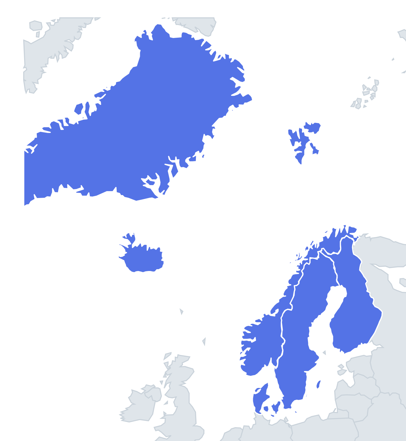
Five shapes, each with a nickname waiting to be learned. Norway is the long one, roughly 1,750 km from its southern tip to the North Cape, so thin south of Narvik that the country is only a few kilometres wide between the fjords and the Swedish border. Its coast is so cut up by fjords and islands that the full coastline runs to tens of thousands of kilometres.
Sweden is the long shape beside it, wider and smoother, with the Baltic coast forming a gentle curve down to Skåne in the south. Finland is often compared to a woman with one arm raised: the "arm" is the north-western strip of Lapland pushing up between Sweden and Norway, and before the Second World War she had a second arm, the Petsamo corridor to the Arctic Ocean, lost to the Soviet Union in 1944. Iceland is a rounded island with a big bitten-out bay on the west and the claw-shaped Westfjords peninsula in the north-west.
The places people miss
- Denmark – the only shape that is not one solid piece. It is the Jutland peninsula, shaped like a thumb pointing north, plus Funen, Zealand and hundreds of smaller islands, with Bornholm far off to the east in the Baltic.
- Norway vs Sweden – both long and thin. Memory hook: Norway is ragged and curls over the top of Sweden and Finland; Sweden has a smoother coastline and stops before the Arctic Ocean.
- Finland – often confused with Sweden. Memory hook: look for the raised arm in the north-west and the Åland islands off the south-west corner.
- Iceland – note the Westfjords; without them the outline is just a blob.
How to learn it
- Learn each shape by one feature: Norway's ragged coast, Sweden's smooth Baltic curve, Finland's raised arm, Denmark's thumb and islands, Iceland's claw.
- Shapes on this quiz are shown out of context, so practise looking at the outline without imagining the neighbours around it.
- Once all five are solid, try the Europe or World outline quizzes, where these shapes are among the easier ones.
Guides that help with this
- Oceans, seas, rivers and mountainsThe physical map: seas around each continent, the big rivers and ranges.
- Why you forget countries – and how spaced repetition fixes itThe forgetting curve, and how the Mistake Bank and flashcards use it.
- Flags that look alike (and how to tell them apart)Chad or Romania? Australia or New Zealand? The flag pairs that cost quiz points.
How it works
Each question shows one outline and four names. Similar-sized countries are mixed in, so it gets tricky.
All 5 countries in this quiz
Denmark, Finland, Iceland, Norway, Sweden.