Central & South Asia borders quiz
A country is shown. Which of the four options shares a border with it? It sounds easy until you get to the small ones.
Top scores
- The five fastest 100% rounds on this quiz.
Finish with 100% and post your time to get on the board – here or in full screen. All leaderboards
Your next quiz
 Southeast Asia quiz11 countries
 East Asia quiz6 countries
What's on this map
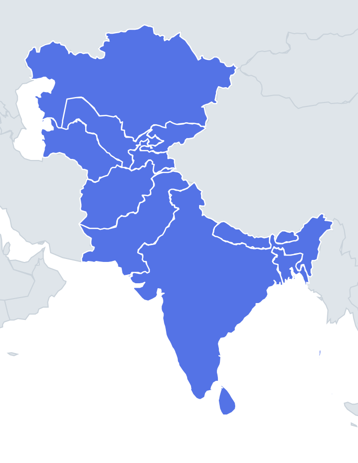
The borders quiz covers the 11 land countries of Central and South Asia; Sri Lanka and the Maldives are islands with no land border. Many of the lines here were drawn by outsiders. In Central Asia, Soviet planners in the 1920s and 1930s carved the five republics out of Russia's former Central Asian lands, splitting the Fergana Valley between Uzbekistan, Kyrgyzstan and Tajikistan in a tangle of borders and enclaves. Afghanistan's frontiers are a product of the "Great Game" between the British and Russian empires: the Durand Line of 1893 set its border with British India, and the Wakhan Corridor was left as a thin buffer so that the two empires would not touch.
In South Asia, the British partition of 1947 split British India into India and Pakistan, with East Pakistan becoming Bangladesh after the war of 1971. The Himalayan kingdoms of Nepal and Bhutan kept their own borders, wedged between India and China.
The places people miss
- Afghanistan and China – they do share a border, at the far end of the Wakhan Corridor: less than 100 km of high mountains with no regular road crossing.
- Uzbekistan – borders all four other "stans" and Afghanistan. It is also one of only two doubly landlocked countries in the world, with Liechtenstein.
- Kashmir – India, Pakistan and China each control part of the former princely state, and India and Pakistan both claim all of it. Maps differ depending on who drew them.
- The Durand Line – Pakistan treats it as the international border; Afghan governments have never formally accepted it.
- Bangladesh – India almost wraps around it; its only other neighbour is Myanmar, outside this map.
- India and Afghanistan – they do not share a border on most maps; the short stretch India claims is in Pakistan-administered Kashmir.
How to learn it
- Start with the hub countries: Afghanistan (six neighbours) and India (six neighbours).
- Learn the "stan" chain around Uzbekistan, then add Kazakhstan and China on the outside.
- Remember that Nepal and Bhutan each have just two neighbours, India and China.
- Play the quiz until you remember Afghanistan's short border with China every time.
Guides that help with this
- Oceans, seas, rivers and mountainsThe physical map: seas around each continent, the big rivers and ranges.
- Why you forget countries – and how spaced repetition fixes itThe forgetting curve, and how the Mistake Bank and flashcards use it.
- Flags that look alike (and how to tell them apart)Chad or Romania? Australia or New Zealand? The flag pairs that cost quiz points.
How it works
Only land borders count. The full list of neighbours is below if you want to study first.
Neighbours of every country in Central & South Asia
| Country | Borders |
|---|---|
 Afghanistan | China, Iran, Pakistan, Tajikistan, Turkmenistan, Uzbekistan |
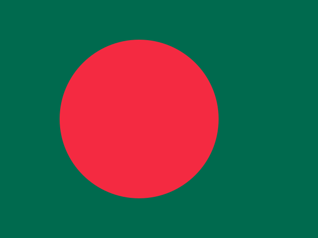 Bangladesh | India, Myanmar |
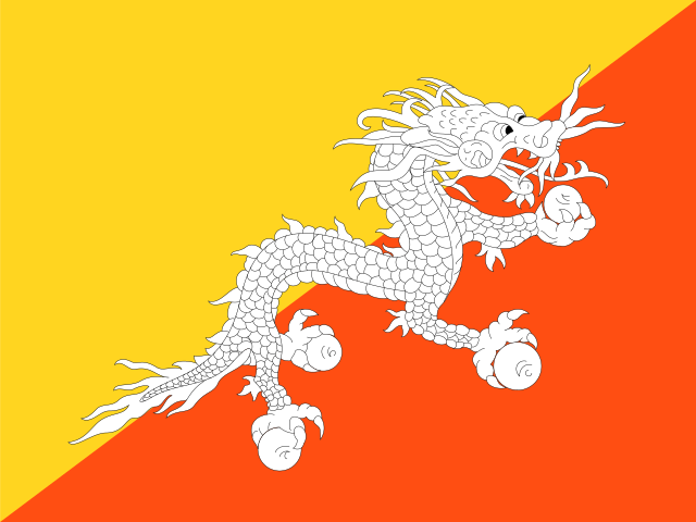 Bhutan | China, India |
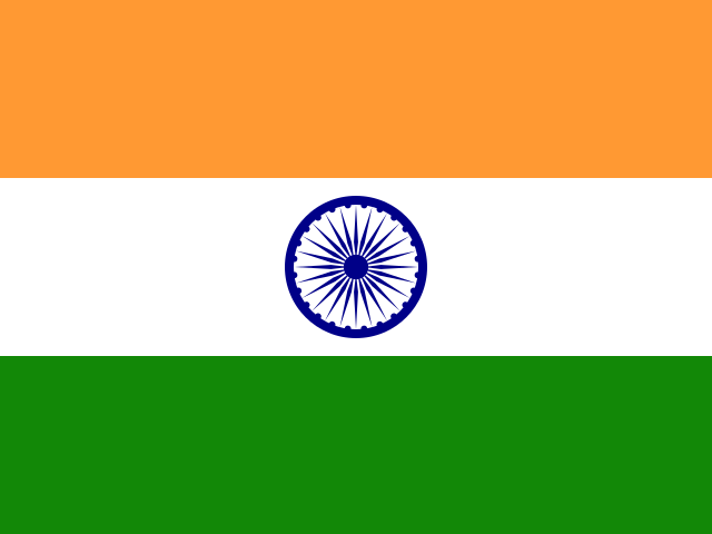 India | Bangladesh, Bhutan, China, Myanmar, Nepal, Pakistan |
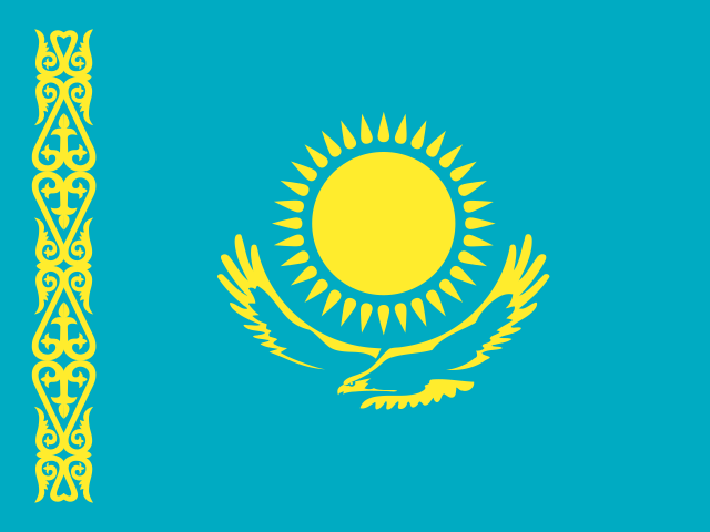 Kazakhstan | China, Kyrgyzstan, Russia, Turkmenistan, Uzbekistan |
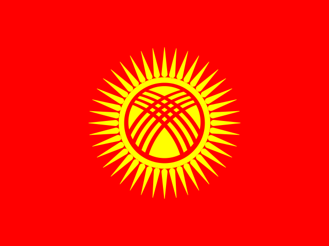 Kyrgyzstan | China, Kazakhstan, Tajikistan, Uzbekistan |
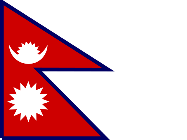 Nepal | China, India |
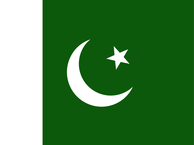 Pakistan | Afghanistan, China, India, Iran |
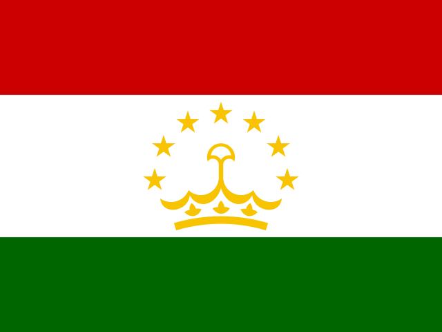 Tajikistan | Afghanistan, China, Kyrgyzstan, Uzbekistan |
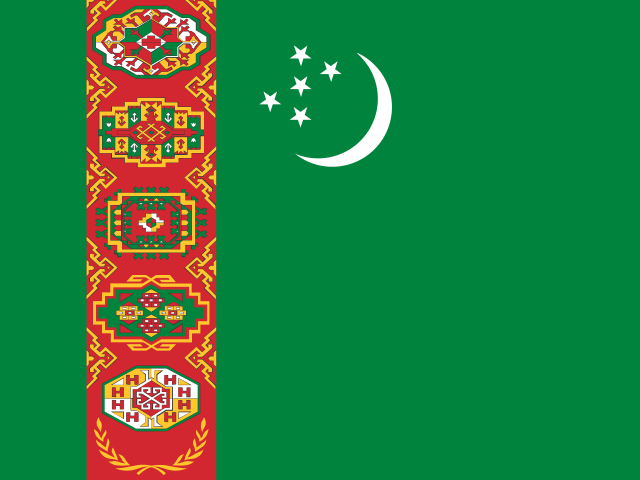 Turkmenistan | Afghanistan, Iran, Kazakhstan, Uzbekistan |
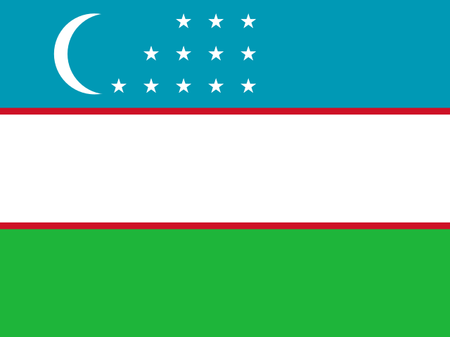 Uzbekistan | Afghanistan, Kazakhstan, Kyrgyzstan, Tajikistan, Turkmenistan |