Chinese Provinces outlines quiz
Only the shape is shown, with no map around it. Can you tell which province it is? A great way to really learn Chinese Provinces.
Top scores
- The five fastest 100% rounds on this quiz.
Finish with 100% and post your time to get on the board – here or in full screen. All leaderboards
Your next quiz
 Japanese Prefectures quiz47 prefectures
 South African Provinces quiz9 provinces
What's on this map
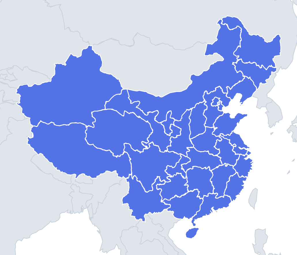
Thirty-one shapes, and the trick is to learn the distinctive ones first. Inner Mongolia is a long, curving band – like a boomerang or a crescent – that stretches about 2,400 km along China's border with Mongolia and Russia. Gansu is a long, thin corridor shaped like a dumbbell, following the Hexi Corridor, the old Silk Road route between the mountains and the Gobi Desert. Hainan is an oval island off the south coast. Xinjiang is the biggest of all, a huge rounded shape making up about a sixth of China's land.
Several shapes are linked by the Yellow River. It makes a great loop, the Ordos bend, that forms much of the border between Shanxi and Shaanxi and runs through Ningxia and Inner Mongolia. The river's course gives Shanxi its western and southern edges.
The places people miss
- Shaanxi – a tall, narrow shape with a waist in the middle, sometimes compared to a kneeling terracotta warrior.
- Shanxi – a compact parallelogram, leaning slightly, with the Yellow River on its west and south.
- Hebei – wraps around Beijing, which forms a hole in the middle of it, and Tianjin, which takes a bite out of its coast.
- Heilongjiang – often said to look like a swan, with its head pointing north-west.
- Shandong – a peninsula reaching east into the Yellow Sea, like a fist or a camel's head.
- Fujian vs Zhejiang – both coastal and roughly square; Zhejiang has the Hangzhou Bay cutting into its north, Fujian lies opposite Taiwan.
- Chongqing – an irregular shape stretching north-east along the Yangtze, carved out of eastern Sichuan.
- Ningxia – a small, narrow shape between Gansu and Inner Mongolia.
How to learn it
- Start with the five shapes you can name instantly: Inner Mongolia, Gansu, Hainan, Shandong and Heilongjiang.
- Next learn the big western block: Xinjiang, Tibet, Qinghai, Sichuan.
- Compare the look-alikes in the middle of the country side by side: Hubei, Hunan, Jiangxi and Anhui.
- Play Find on the map first, then the outline round, until you can name each shape before it fully appears.
Guides that help with this
- Oceans, seas, rivers and mountainsThe physical map: seas around each continent, the big rivers and ranges.
- Why you forget countries – and how spaced repetition fixes itThe forgetting curve, and how the Mistake Bank and flashcards use it.
- Flags that look alike (and how to tell them apart)Chad or Romania? Australia or New Zealand? The flag pairs that cost quiz points.
How it works
Each question shows one outline and four names. Similar-sized provinces are mixed in, so it gets tricky.
All 31 provinces in this quiz
Anhui, Beijing, Chongqing, Fujian, Gansu, Guangdong, Guangxi, Guizhou, Hainan, Hebei, Heilongjiang, Henan, Hubei, Hunan, Inner Mongolia, Jiangsu, Jiangxi, Jilin, Liaoning, Ningxia, Qinghai, Shaanxi, Shandong, Shanghai, Shanxi, Sichuan, Tianjin, Tibet, Xinjiang, Yunnan, Zhejiang.