South African Provinces quiz
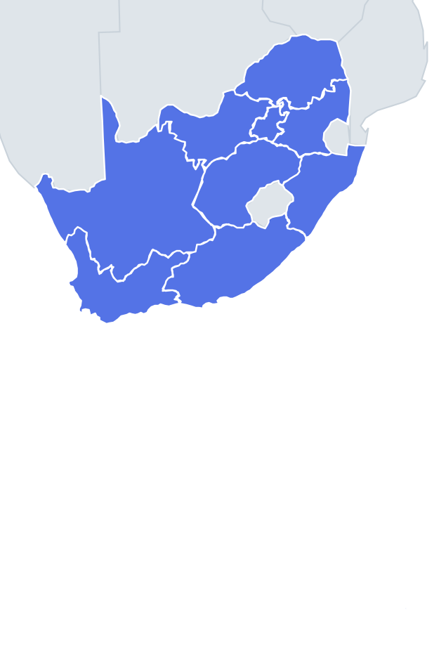
Can you find all 9 provinces on the map? Tap the right place, see how fast you can reach 100%, and practise the ones you missed until you know them all.
Top scores
- The five fastest 100% rounds on this quiz.
Finish with 100% and post your time to get on the board – here or in full screen. All leaderboards
Your next quiz
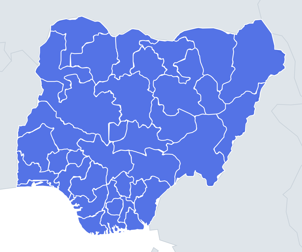 Nigerian States quiz37 states
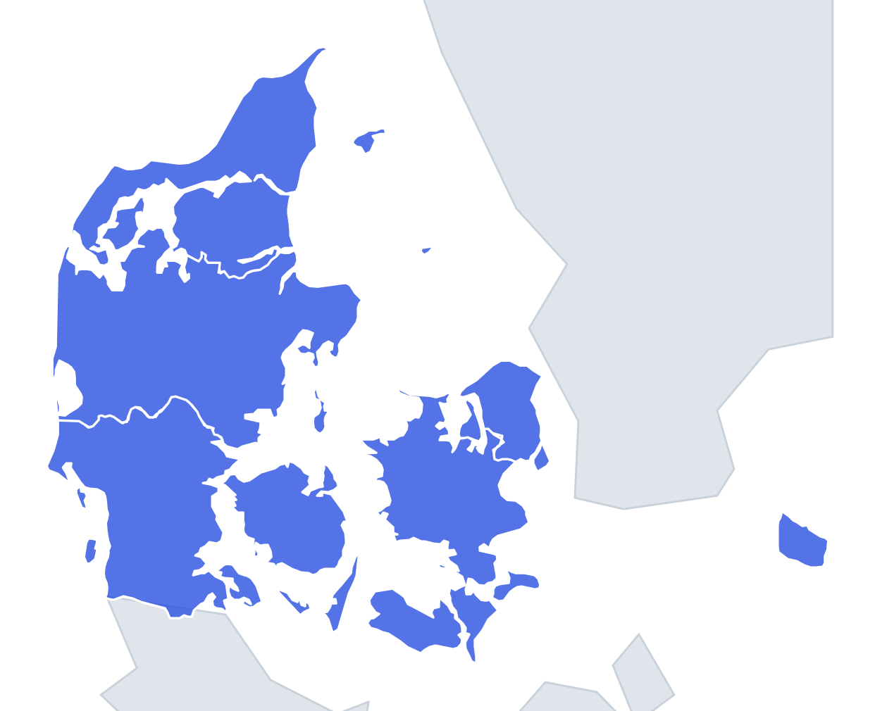 Danish Regions quiz5 regions
What's on this map
Nine provinces, compact enough to learn in one sitting. The three Cape provinces take up the whole southern and western half of the country: Western Cape in the south-west corner around Cape Town, Northern Cape stretching huge and empty along the Namibian border, and Eastern Cape on the south coast facing the Indian Ocean.
The north-east is where the small, dense provinces cluster. Gauteng, the smallest province, holds Johannesburg and sits like a dot in the middle. Around it, clockwise from the north, are Limpopo on the Zimbabwe border, Mpumalanga on the Mozambique border, KwaZulu-Natal on the east coast, Free State in the centre and North West towards Botswana.
Use Gauteng as the anchor: find the tiny province, then work outwards. Lesotho, the kingdom inside South Africa, is a useful second anchor; Free State wraps around its north-west side.
The ones people miss
- Mpumalanga – confused with Limpopo because both are north-east and border Mozambique. Memory hook: Limpopo is the top of the country; Mpumalanga is under it, touching Eswatini.
- North West – the name sounds like a corner, but it is not the north-west corner of the country. Memory hook: it sits between Gauteng and Botswana; the real corner belongs to Northern Cape.
- Free State – plain, central, no coast. Memory hook: the province with Bloemfontein, hugging the north of Lesotho.
- Eastern Cape vs KwaZulu-Natal – both on the Indian Ocean. Memory hook: KwaZulu-Natal reaches Mozambique and Eswatini; Eastern Cape sits between it and the Western Cape.
How to learn it
- Start with Find on the map; with nine provinces you should hit full marks within a few rounds.
- Learn the three Capes first, then the cluster around Gauteng.
- Switch to Capitals early, because that is where the real difficulty is: Polokwane, Mbombela and Pietermaritzburg trip up most people.
- Use flashcards for the capitals and let the Mistake Bank repeat the ones you miss.
- Done means a clean sweep in Name them all plus a clean sweep in Capitals.
Guides that help with this
- Why you forget countries – and how spaced repetition fixes itThe forgetting curve, and how the Mistake Bank and flashcards use it.
- Using Quiz the Map in the classroomWhich quizzes fit which age, live class games, printable maps.
- Flags that look alike (and how to tell them apart)Chad or Romania? Australia or New Zealand? The flag pairs that cost quiz points.
How to play
A name appears at the top. Tap that place on the map. You get three tries: green means first try, yellow second and orange third. After three misses the right place flashes. Tiny places get a circle so they are easy to hit, and you can zoom with two fingers or the mouse wheel.
Want a harder test? Try Name them all (type every province you can remember before the clock runs out) or Sudden death (one mistake and the game is over).
All 9 provinces
| Province | Capital |
|---|---|
| Eastern Cape | Bhisho |
| Free State | Bloemfontein |
| Gauteng | Johannesburg |
| KwaZulu-Natal | Pietermaritzburg |
| Limpopo | Polokwane |
| Mpumalanga | Mbombela |
| North West | Mahikeng |
| Northern Cape | Kimberley |
| Western Cape | Cape Town |