Europe outlines quiz
Only the shape is shown, with no map around it. Can you tell which country it is? A great way to really learn Europe.
Top scores
- The five fastest 100% rounds on this quiz.
Finish with 100% and post your time to get on the board – here or in full screen. All leaderboards
Your next quiz
 Africa quiz54 countries
 Asia quiz48 countries
What's on this map
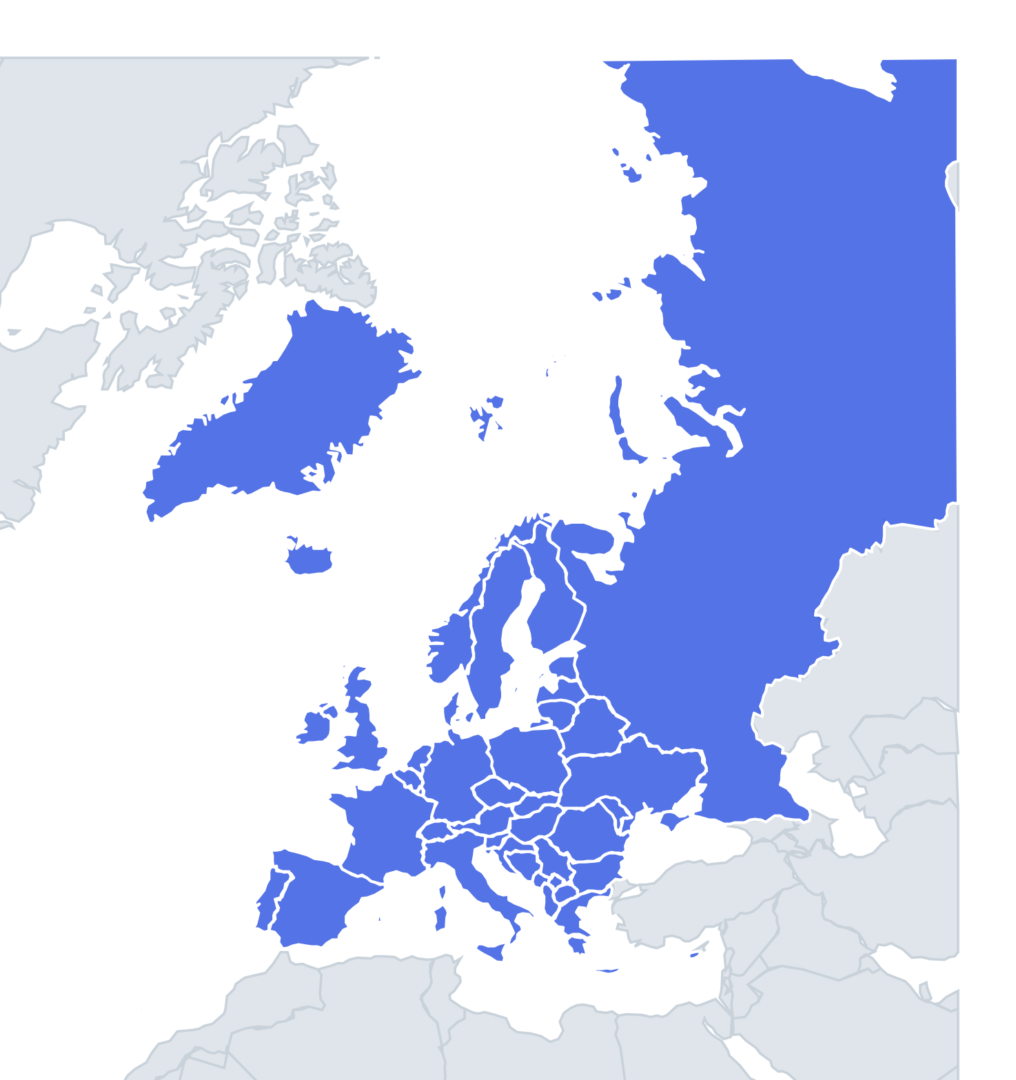
Forty-six outlines, from giants to specks. A handful of European shapes are so famous they have nicknames: Italy is the boot, France the hexagon (l'Hexagone is what the French call their own country), and Spain and Portugal together form the "bull's hide" of the Iberian peninsula. Norway is a long, narrow strip that thickens at the bottom, while Sweden is a smoother, rounder strip beside it.
The hard part is the middle of the continent, where several countries are compact blobs without sea coasts to give them away, and the Balkans, where borders follow mountains and rivers in twisting lines.
The places people miss
- Croatia – the crescent or boomerang, with a long Dalmatian coast and the Pelješac peninsula. Its southern tip around Dubrovnik is separated from the rest by a few kilometres of Bosnian coast at Neum, though the Pelješac Bridge, opened in 2022, now links them.
- Bosnia and Herzegovina – a heart or triangle shape, filling the gap inside Croatia's curve.
- Czechia vs Slovakia – Czechia is a wider, rounded shape with a bump at the top; Slovakia is a long, horizontal shape that looks like a fish swimming east.
- Hungary – a compact oval, wider than tall, with no coast.
- Belarus vs Ukraine – Ukraine is larger, with the Crimean peninsula hanging into the Black Sea (annexed by Russia in 2014, which Ukraine and most countries do not recognise); Belarus is a landlocked, rounded shape to its north.
- Montenegro, Kosovo and North Macedonia – Montenegro has a small coastline with the Bay of Kotor; Kosovo is a landlocked diamond; North Macedonia is a roundish shape with lakes Ohrid and Prespa in its south-west corner.
- Denmark – the Jutland peninsula pointing north plus a cluster of islands, with Zealand the largest.
- Russia – too big to mistake, but note the separate Kaliningrad exclave on the Baltic.
How to learn it
- Learn the nickname shapes first: boot, hexagon, Iberia, Scandinavian strips.
- Then learn coastlines: a country with a sea is easier to identify than a landlocked one.
- Spend extra time on the landlocked shapes: Switzerland, Austria, Czechia, Slovakia, Hungary, Serbia, Kosovo, North Macedonia, Belarus, Moldova.
- Micro-states are too small to have meaningful outlines, so use Study the map to fix them by position.
Guides that help with this
- Oceans, seas, rivers and mountainsThe physical map: seas around each continent, the big rivers and ranges.
- Why you forget countries – and how spaced repetition fixes itThe forgetting curve, and how the Mistake Bank and flashcards use it.
- Flags that look alike (and how to tell them apart)Chad or Romania? Australia or New Zealand? The flag pairs that cost quiz points.
How it works
Each question shows one outline and four names. Similar-sized countries are mixed in, so it gets tricky.
All 46 countries in this quiz
Albania, Andorra, Austria, Belarus, Belgium, Bosnia and Herzegovina, Bulgaria, Croatia, Cyprus, Czechia, Denmark, Estonia, Finland, France, Germany, Greece, Hungary, Iceland, Ireland, Italy, Kosovo, Latvia, Liechtenstein, Lithuania, Luxembourg, Malta, Moldova, Monaco, Montenegro, the Netherlands, North Macedonia, Norway, Poland, Portugal, Romania, Russia, San Marino, Serbia, Slovakia, Slovenia, Spain, Sweden, Switzerland, Ukraine, the United Kingdom, Vatican City.