French Regions outlines quiz
Only the shape is shown, with no map around it. Can you tell which region it is? A great way to really learn French Regions.
Top scores
- The five fastest 100% rounds on this quiz.
Finish with 100% and post your time to get on the board – here or in full screen. All leaderboards
Your next quiz
 Spanish Regions quiz16 regions
 Italian Regions quiz20 regions
What's on this map
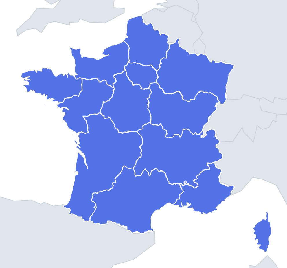
Each of France's 13 metropolitan regions appears as a lone shape with four possible names. Because the 2016 mergers created big regions, most shapes are large and lumpy, and the wrong answers are chosen from regions of similar size. The trick is to stop looking at the overall blob and look for one feature that only that region has: a peninsula, a straight coastline, a mountain edge or a hole.
Five regions have no coastline at all: Île-de-France, Centre-Val de Loire, Bourgogne-Franche-Comté, Grand Est and Auvergne-Rhône-Alpes. If a shape has no sea edge, it is one of those five. Grand Est is the only region bordering four countries – Belgium, Luxembourg, Germany and Switzerland – and its long eastern side follows the Rhine in Alsace.
The size range is wide: Nouvelle-Aquitaine is the largest, roughly ten times the area of Corsica, the smallest.
The places people miss
- Brittany – the peninsula pointing west into the Atlantic, ending in Finistère, "the end of the earth". If the shape sticks out like a thumb, it is Brittany.
- Normandy – look for the Cotentin peninsula, a stubby finger pointing north towards the Channel with Cherbourg at the tip.
- Nouvelle-Aquitaine – the long, almost dead-straight Atlantic coast of the Landes forest, with the Pyrenees as the bottom edge.
- Occitanie – the Pyrenees along the bottom and a curved Mediterranean coast around the Gulf of Lion.
- Provence-Alpes-Côte-d'Azur – the Italian border on the east, the jagged Riviera coast and the Rhône delta (the Camargue) at the western end.
- Corsica – the island with Cap Corse, a narrow finger pointing north.
How to learn it
- Play Find on the map first, then switch to Outlines and say each region's neighbours out loud as you answer.
- Ask "coast or no coast?" first; it halves the options straight away.
- Learn the inland five as a group: Île-de-France is small and roundish, Centre-Val de Loire is a wedge below it, and the other three run along the eastern border.
- Done means 13 of 13 in Sudden death.
Guides that help with this
- Oceans, seas, rivers and mountainsThe physical map: seas around each continent, the big rivers and ranges.
- Why you forget countries – and how spaced repetition fixes itThe forgetting curve, and how the Mistake Bank and flashcards use it.
- Flags that look alike (and how to tell them apart)Chad or Romania? Australia or New Zealand? The flag pairs that cost quiz points.
How it works
Each question shows one outline and four names. Similar-sized regions are mixed in, so it gets tricky.
All 13 regions in this quiz
Auvergne-Rhône-Alpes, Bourgogne-Franche-Comté, Brittany, Centre-Val de Loire, Corsica, Grand Est, Hauts-de-France, Île-de-France, Normandy, Nouvelle-Aquitaine, Occitanie, Pays de la Loire, Provence-Alpes-Côte-d'Azur.