Italian Regions outlines quiz
Only the shape is shown, with no map around it. Can you tell which region it is? A great way to really learn Italian Regions.
Top scores
- The five fastest 100% rounds on this quiz.
Finish with 100% and post your time to get on the board – here or in full screen. All leaderboards
Your next quiz
 Canadian Provinces quiz13 provinces & territories
 Mexican States quiz32 states
What's on this map
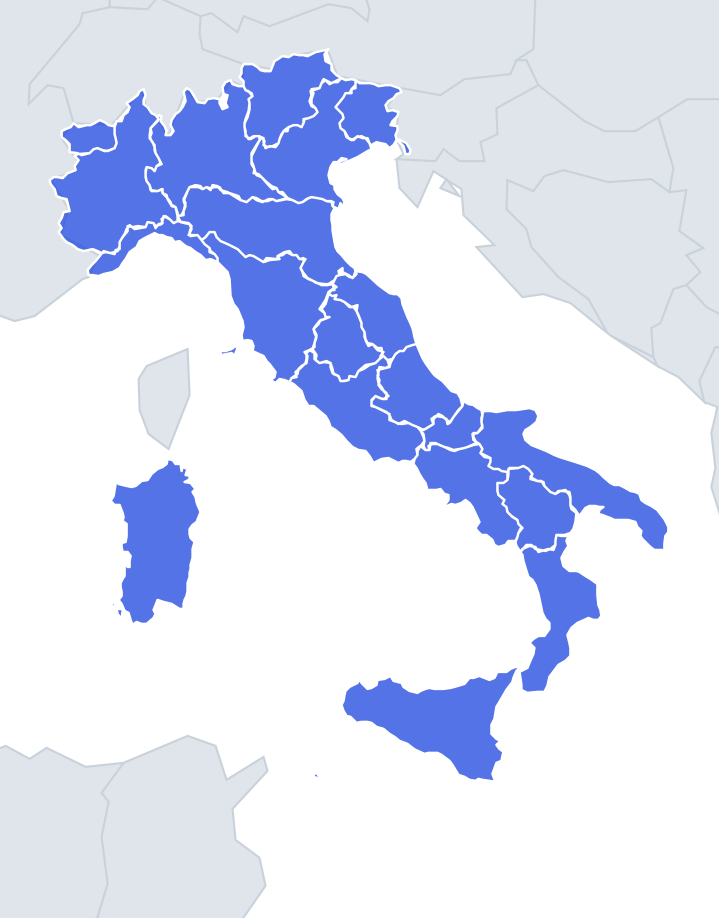
All 20 Italian regions as standalone shapes, four names per question. Italy is a long peninsula with the Alps across the top and the Apennines running down its spine, and those two mountain chains drew most of the regional borders. Northern regions have jagged mountain edges against France, Switzerland, Austria and Slovenia; the central and southern ones are cut by Apennine ridges and have a coastline on one side or both.
Size is a weak clue here, because the quiz pairs similar-sized regions. Sicily, Piedmont and Sardinia are close in area; Aosta Valley, Molise and Liguria are the smallest three. Look at coastlines and corners instead.
The places people miss
- Sicily – a triangle, the "three capes" island, with a ragged north coast and a pointed western tip near Trapani.
- Sardinia – a tall, blocky rectangle, much less pointed than Sicily.
- Liguria – a thin crescent hugging the Gulf of Genoa, the shape of a curved arm. Nothing else is that narrow and curved.
- Apulia – long and thin down the Adriatic, with the Gargano promontory as the "spur" sticking out at the top and the Salento peninsula as the heel.
- Calabria – a long, thin toe with a narrow waist where Catanzaro sits, between two seas.
- Emilia-Romagna – a long horizontal band with the Po river as most of its northern edge and a short Adriatic coast at the eastern end.
- Aosta Valley – small and roundish, framed by Mont Blanc, the Matterhorn and Monte Rosa.
- Umbria vs Molise – both small and inland-looking. Umbria has no coast at all; Molise has a short Adriatic shoreline.
- Basilicata – an irregular block with a tiny coast on two seas, the Tyrrhenian and the Ionian.
How to learn it
- Run Find on the map first, then Outlines, saying each region's sea out loud.
- Learn the islands and the heel-and-toe pair first; they are the most distinctive.
- Sort the north by which country each region touches.
- Done means 20 of 20 in Sudden death.
Guides that help with this
- Oceans, seas, rivers and mountainsThe physical map: seas around each continent, the big rivers and ranges.
- Why you forget countries – and how spaced repetition fixes itThe forgetting curve, and how the Mistake Bank and flashcards use it.
- Flags that look alike (and how to tell them apart)Chad or Romania? Australia or New Zealand? The flag pairs that cost quiz points.
How it works
Each question shows one outline and four names. Similar-sized regions are mixed in, so it gets tricky.
All 20 regions in this quiz
Abruzzo, Aosta Valley, Apulia, Basilicata, Calabria, Campania, Emilia-Romagna, Friuli-Venezia Giulia, Lazio, Liguria, Lombardy, Marche, Molise, Piedmont, Sardinia, Sicily, Trentino-South Tyrol, Tuscany, Umbria, Veneto.