Japanese Prefectures outlines quiz
Only the shape is shown, with no map around it. Can you tell which prefecture it is? A great way to really learn Japanese Prefectures.
Top scores
- The five fastest 100% rounds on this quiz.
Finish with 100% and post your time to get on the board – here or in full screen. All leaderboards
Your next quiz
 South African Provinces quiz9 provinces
 Nigerian States quiz37 states
 Chinese Provinces quiz31 provinces
What's on this map
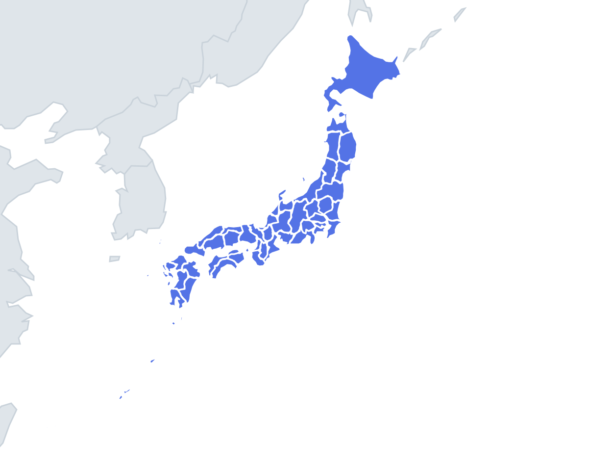
All 47 prefectures of Japan as lone shapes, with four names to choose from. Most prefectures are similar in size, so this is one of the hardest outlines quizzes on the site: the wrong answers are chosen from prefectures of comparable area, and only Hokkaidō stands out, covering about a fifth of the whole country.
Japan is mountainous, and many prefectural borders follow ridgelines, which gives inland prefectures irregular, crinkled edges. Coastal prefectures are easier, because Japan's coastline is full of peninsulas and bays that make memorable outlines. Eight prefectures are landlocked: Tochigi, Gunma, Saitama, Yamanashi, Nagano, Gifu, Shiga and Nara. If there is no sea edge, it is one of those.
The places people miss
- Hokkaidō – a rough diamond with a long southwestern tail (the Oshima Peninsula) pointing towards Honshu.
- Aomori – two arms reaching north around Mutsu Bay, like a pair of pincers or a letter U.
- Ishikawa – the Noto Peninsula sticks out into the Sea of Japan like a hooked thumb. Nothing else has that hook.
- Chiba – the Bōsō Peninsula, a fat lump enclosing Tokyo Bay on its eastern side.
- Shiga – a ring of land around Lake Biwa; the lake fills the middle, so the shape is almost a hollow outline.
- Nagasaki – a scatter of fingers and islands, including the Gotō Islands and Tsushima, which lies in the strait between Kyushu and Korea.
- Kagoshima – two peninsulas wrapped around Kagoshima Bay, plus a long chain of southern islands.
- Okinawa – a long, thin island with a narrow waist, far from everything else.
- Wakayama vs Mie – both on the Kii Peninsula. Wakayama is the western and southern tip; Mie is the eastern side with the jagged Ise Bay coast.
- Kagawa – Japan's smallest prefecture by area, a short strip on Shikoku's north coast facing the Inland Sea.
How to learn it
- Learn the peninsulas first: Noto, Bōsō, Oshima, Kii, the Aomori pincers.
- Then ask "coast or no coast?" and work through the eight landlocked shapes separately.
- Run Find on the map between Outlines rounds so you remember the neighbours.
- Done means 42 or more of 47 in Sudden death.
Guides that help with this
- Oceans, seas, rivers and mountainsThe physical map: seas around each continent, the big rivers and ranges.
- Why you forget countries – and how spaced repetition fixes itThe forgetting curve, and how the Mistake Bank and flashcards use it.
- Flags that look alike (and how to tell them apart)Chad or Romania? Australia or New Zealand? The flag pairs that cost quiz points.
How it works
Each question shows one outline and four names. Similar-sized prefectures are mixed in, so it gets tricky.
All 47 prefectures in this quiz
Aichi, Akita, Aomori, Chiba, Ehime, Fukui, Fukuoka, Fukushima, Gifu, Gunma, Hiroshima, Hokkaidō, Hyōgo, Ibaraki, Ishikawa, Iwate, Kagawa, Kagoshima, Kanagawa, Kōchi, Kumamoto, Kyōto, Mie, Miyagi, Miyazaki, Nagano, Nagasaki, Nara, Niigata, Ōita, Okayama, Okinawa, Ōsaka, Saga, Saitama, Shiga, Shimane, Shizuoka, Tochigi, Tokushima, Tokyo, Tottori, Toyama, Wakayama, Yamagata, Yamaguchi, Yamanashi.