Lakes outlines quiz
Only the shape is shown, with no map around it. Can you tell which lake it is? A great way to really learn Lakes.
Top scores
- The five fastest 100% rounds on this quiz.
Finish with 100% and post your time to get on the board – here or in full screen. All leaderboards
Your next quiz
 Mountain ranges quiz36 mountain ranges
 Deserts quiz18 deserts
 Oceans & seas quiz40 oceans & seas
What's on this map
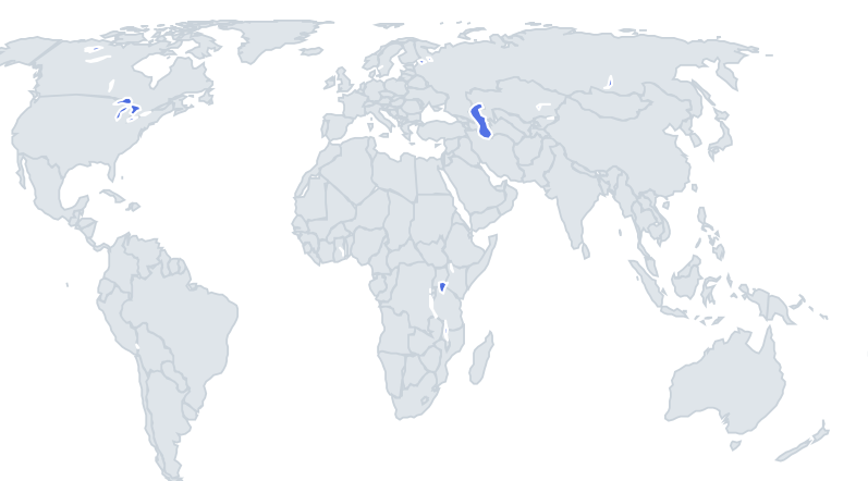
Thirty-nine lakes shown alone as shapes, with four names to choose from. Lakes take their shape from how they formed, and that is the key to this quiz. Rift lakes such as Tanganyika, Malawi and Baikal are long and thin, because they fill cracks where the Earth's crust is pulling apart. Glacial lakes such as the Great Lakes, Ladoga and Vänern are broad and lobed, scoured out by ice sheets. Crater lakes like Taupo are roughly round. Salt lakes in dry basins, like Eyre and Great Salt Lake, have irregular shores that shift with the water level.
Reservoirs look different again. Lake Volta in Ghana and Lake Kariba on the Zambia–Zimbabwe border are man-made, created by dams built around 1960, so they look like a flooded river valley with branching fingers.
The places people miss
- Lake Baikal – a long, curved crescent, like a banana, with the large island of Olkhon near the middle.
- Lake Tanganyika vs Lake Malawi – both long and thin. Tanganyika is longer and very straight; Malawi is a bit wider and tapers at the southern end into two prongs.
- Lake Victoria – a broad, rounded shape with a jagged shoreline and many bays, especially on the south side.
- Lake Michigan – a long north–south finger with Green Bay as a smaller finger on its western side.
- Lake Huron – Georgian Bay forms a second large lobe to the east, divided by the Bruce Peninsula.
- Lake Balkhash – a long crescent with one half fresh water and one half salty.
- Lake Volta – a branching, tree-like shape: a dammed river with flooded tributaries.
- Great Bear Lake – an irregular shape with several long arms; Great Slave Lake has a long eastern arm.
- Lake Constance – a long body with two smaller arms at the western end.
How to learn it
- Sort each shape by origin first: long and thin (rift), broad and lobed (glacial), round (crater), branching (reservoir).
- Then use one feature per lake: an island, an arm, a bay.
- Play Find on the map between rounds to link shape with place.
- Done means 35 or more of 39 in Sudden death.
Guides that help with this
- Oceans, seas, rivers and mountainsThe physical map: seas around each continent, the big rivers and ranges.
- Why you forget countries – and how spaced repetition fixes itThe forgetting curve, and how the Mistake Bank and flashcards use it.
- Flags that look alike (and how to tell them apart)Chad or Romania? Australia or New Zealand? The flag pairs that cost quiz points.
How it works
Each question shows one outline and four names. Similar-sized lakes are mixed in, so it gets tricky.
All 39 lakes in this quiz
Aral Sea, Caspian Sea, Dead Sea, Great Bear Lake, Great Salt Lake, Great Slave Lake, Issyk-Kul, Lake Albert, Lake Baikal, Lake Balaton, Lake Balkhash, Lake Chad, Lake Constance, Lake Erie, Lake Eyre, Lake Geneva, Lake Huron, Lake Kariba, Lake Kivu, Lake Ladoga, Lake Malawi, Lake Michigan, Lake Nicaragua, Lake Onega, Lake Ontario, Lake Peipus, Lake Superior, Lake Tana, Lake Tanganyika, Lake Taupo, Lake Titicaca, Lake Turkana, Lake Urmia, Lake Van, Lake Victoria, Lake Volta, Lake Winnipeg, Vänern, Vättern.