Nigerian States outlines quiz
Only the shape is shown, with no map around it. Can you tell which state it is? A great way to really learn Nigerian States.
Top scores
- The five fastest 100% rounds on this quiz.
Finish with 100% and post your time to get on the board – here or in full screen. All leaderboards
Your next quiz
 Danish Regions quiz5 regions
 Danish Municipalities quiz98 municipalities
What's on this map
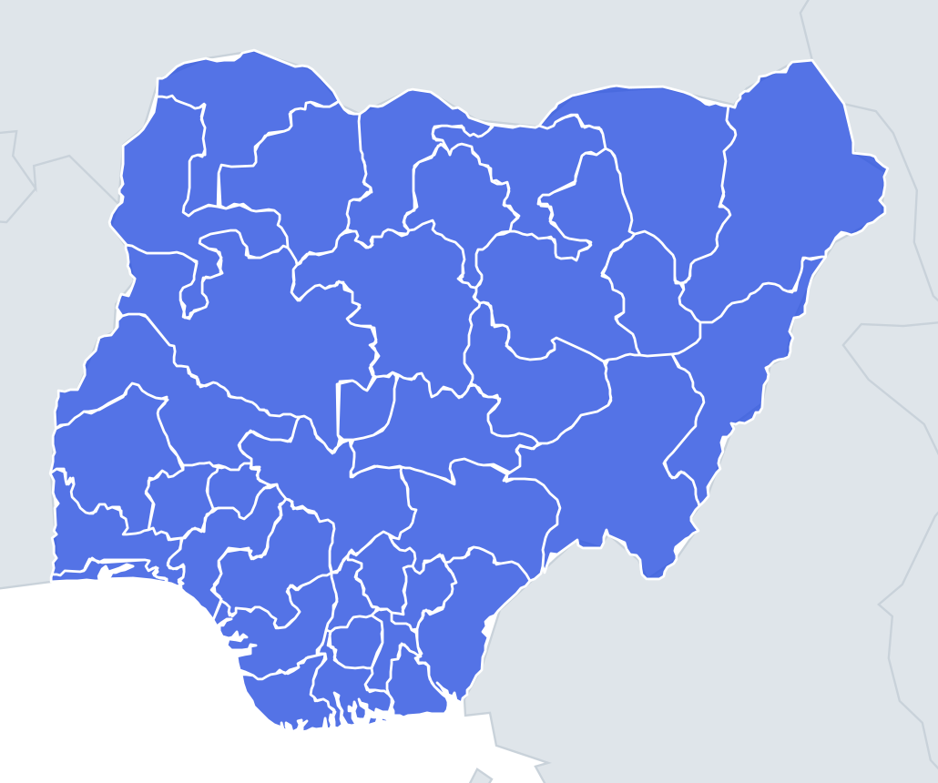
Thirty-seven shapes – the 36 states and the Federal Capital Territory – shown one at a time with no map around them. Nigerian state borders mostly follow old provincial and ethnic lines, rivers and the international frontier, so a few edges give the game away. Any state with a long, gently curving straight line on its north side probably touches Niger, whose border was drawn by Britain and France around 1900. A jagged eastern edge usually means the mountainous Cameroon frontier.
The two great rivers are the other clue. The Niger enters from the northwest and the Benue from the east; they meet at Lokoja in Kogi, and the combined river runs south to the Delta. Picture that Y-shape and river-edged states fall into place.
Size helps too. Niger State and Borno are the giants, each larger than many countries. Lagos is the smallest state by area, a thin coastal strip wrapped around a lagoon. Anambra is the next smallest, and the FCT is a compact block in the dead centre.
The places people miss
- Lagos – looks like a horizontal sliver of coastline with a jagged lagoon edge; nothing else is that long and thin.
- Bayelsa – a ragged triangle of creeks and islands on the Delta coast; its south edge is all broken shoreline.
- Kogi – look for the two rivers meeting inside it; the confluence at Lokoja sits near its middle.
- Taraba – a long diagonal shape running down the Cameroon border.
- Ekiti – small and roughly round, completely landlocked inside the southwest.
- Jigawa – an irregular ribbon wrapped around the north and east of Kano, with gaps that look like bites.
- Cross River – tall and narrow, with the Cameroon border as its whole eastern edge.
How to learn it
- Run Study the map first and trace each state's outline with your finger before you try the shapes cold.
- Sort shapes into three types: coastal (a ragged sea edge), northern (a straight international line on top) and inland (no clue at all).
- Learn the inland ones by neighbour: once you know Kogi, Kwara and Benue fall either side.
- Let the Mistake Bank collect the small southeastern states – Abia, Imo, Ebonyi – and drill them as flashcards.
- Done means 34 or more of 37 shapes correct in one run.
Guides that help with this
- Oceans, seas, rivers and mountainsThe physical map: seas around each continent, the big rivers and ranges.
- Why you forget countries – and how spaced repetition fixes itThe forgetting curve, and how the Mistake Bank and flashcards use it.
- Flags that look alike (and how to tell them apart)Chad or Romania? Australia or New Zealand? The flag pairs that cost quiz points.
How it works
Each question shows one outline and four names. Similar-sized states are mixed in, so it gets tricky.
All 37 states in this quiz
Abia State, Adamawa State, Akwa Ibom State, Anambra State, Bauchi State, Bayelsa State, Benue State, Borno State, Cross River State, Delta State, Ebonyi State, Edo State, Ekiti State, Enugu State, Federal Capital Territory, Gombe State, Imo State, Jigawa State, Kaduna State, Kano State, Katsina State, Kebbi State, Kogi State, Kwara State, Lagos, Nasarawa State, Niger State, Ogun State, Ondo State, Osun State, Oyo State, Plateau State, Rivers State, Sokoto State, Taraba State, Yobe State, Zamfara State.