Southern Africa outlines quiz
Only the shape is shown, with no map around it. Can you tell which country it is? A great way to really learn Southern Africa.
Top scores
- The five fastest 100% rounds on this quiz.
Finish with 100% and post your time to get on the board – here or in full screen. All leaderboards
Your next quiz
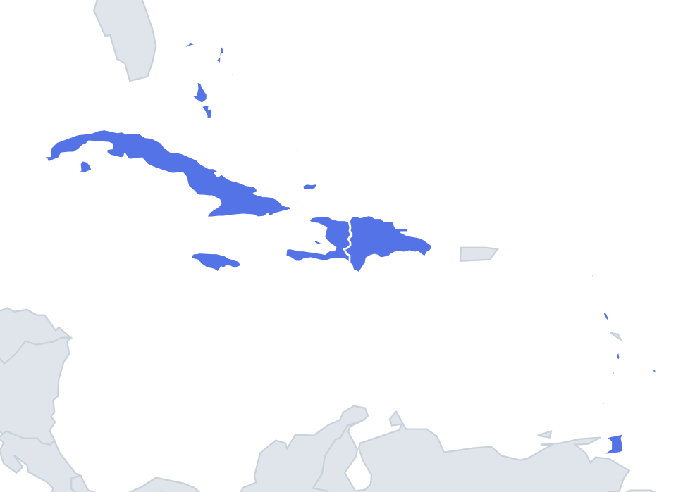 Caribbean quiz13 countries
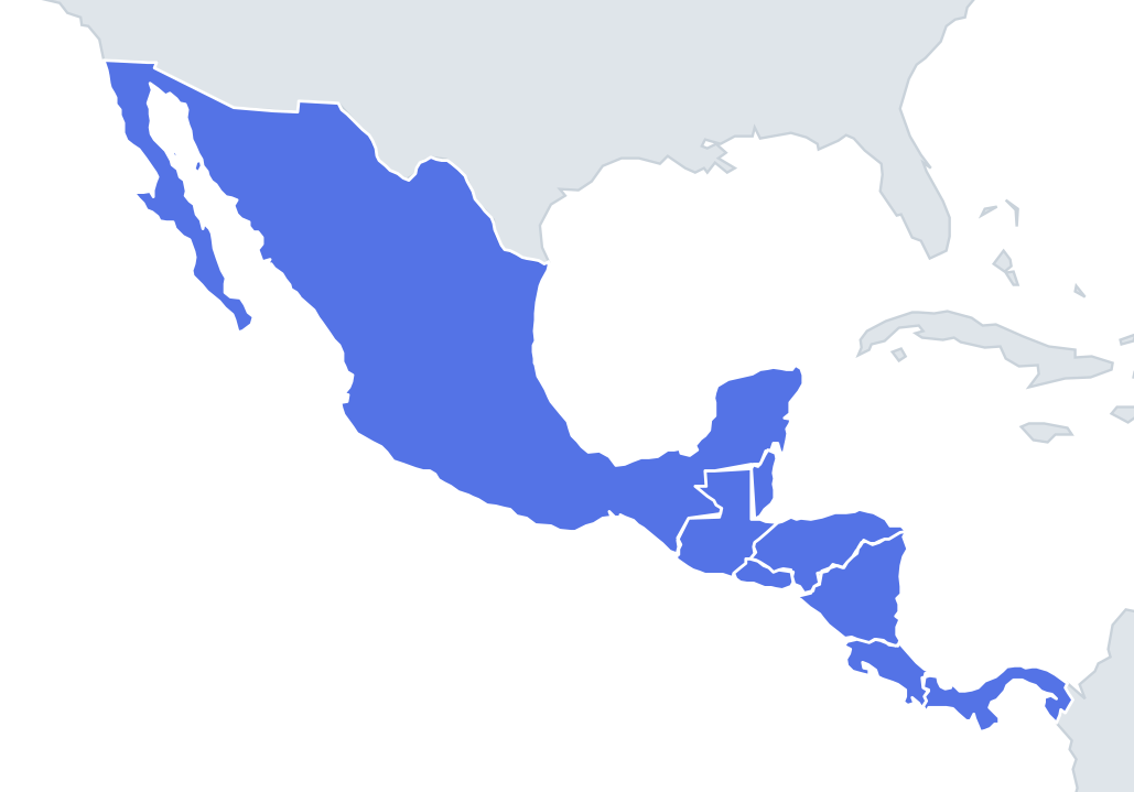 Central America quiz8 countries
What's on this map
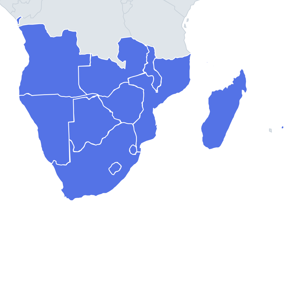
Fourteen shapes, ranging from Angola, larger than France and Spain combined, to the Seychelles, a scatter of islands with less land than many cities. A few outlines are unmistakable. Madagascar is the fourth largest island in the world, a long oval that tapers to a point in the north. South Africa is the broad shape at the bottom of the continent with a hole in it, where Lesotho sits. Malawi is a long thin strip running north–south alongside its lake.
The difficulty is that several mainland countries are compact, roughly square blocks, and the island nations are tiny dots that look alike once enlarged. Concentrate on one feature per shape.
The places people miss
- Namibia – a large block with a long, thin arm sticking out to the east at the top: the Caprivi Strip, about 450 km long. No other shape in the region has a handle like it.
- Angola – a big square-ish shape with a small separate piece to the north: Cabinda, an exclave between Congo and DR Congo, cut off from the rest of Angola by DR Congo's narrow strip of Atlantic coast.
- Zambia – often described as a butterfly or a figure of eight, because the Congo Pedicle, a wedge of DR Congo, cuts deep into its northern side.
- Mozambique – a long Indian Ocean coastline about 2,500 km long, with a wide northern part, a narrow middle around the Zambezi valley and a widening south.
- Lesotho vs Eswatini – both small and roundish. Lesotho is the larger, a rough oval; Eswatini is smaller, more compact and boxy.
- Comoros vs Mauritius vs Seychelles – Comoros is three main islands in a line; Mauritius is a single rounded island; the Seychelles are many small islands, with Mahé the largest.
How to learn it
- Start with the four giveaways: Madagascar, Malawi, Namibia (Caprivi) and South Africa (with a hole).
- Then learn the compact blocks by one feature each: Botswana is landlocked with a straight-edged western side; Zimbabwe is a compact, rounded block.
- Leave the islands for last and learn them by the number of pieces: one, three or many.
- Done is a round without mixing up Zambia and Angola.
Guides that help with this
- Oceans, seas, rivers and mountainsThe physical map: seas around each continent, the big rivers and ranges.
- Why you forget countries – and how spaced repetition fixes itThe forgetting curve, and how the Mistake Bank and flashcards use it.
- Flags that look alike (and how to tell them apart)Chad or Romania? Australia or New Zealand? The flag pairs that cost quiz points.
How it works
Each question shows one outline and four names. Similar-sized countries are mixed in, so it gets tricky.
All 14 countries in this quiz
Angola, Botswana, the Comoros, Eswatini, Lesotho, Madagascar, Malawi, Mauritius, Mozambique, Namibia, the Seychelles, South Africa, Zambia, Zimbabwe.