Caribbean quiz
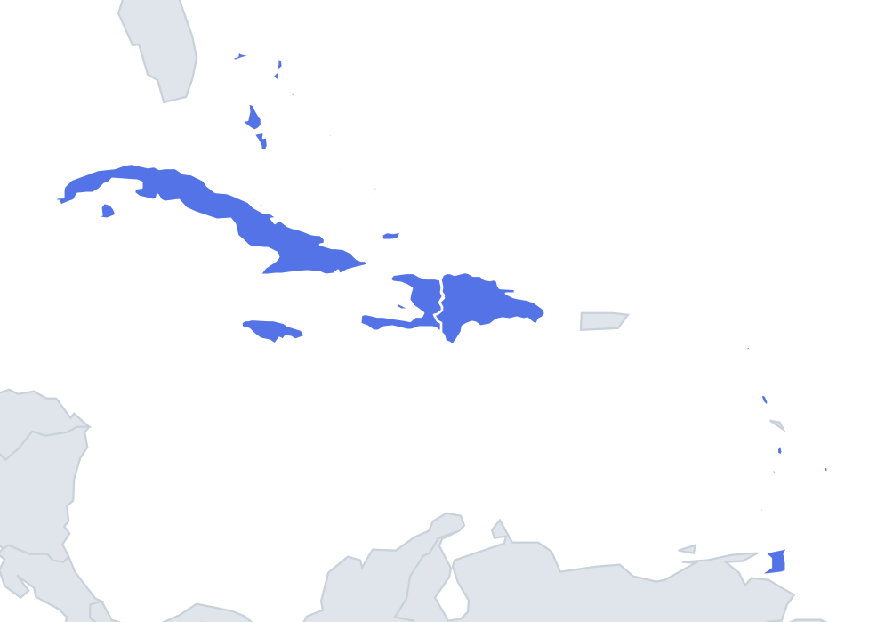
Can you find all 13 countries on the map? Tap the right place, see how fast you can reach 100%, and practise the ones you missed until you know them all.
Top scores
- The five fastest 100% rounds on this quiz.
Finish with 100% and post your time to get on the board – here or in full screen. All leaderboards
Your next quiz
 Central America quiz8 countries
 Europe quiz46 countries
What's on this map
Thirteen island nations: big islands in the west, a chain of small ones in the east. The Greater Antilles are the easy part. Cuba is the long island closest to Florida, with the Bahamas scattered to its north-east. Jamaica sits below Cuba. Hispaniola is the island east of Cuba, split between Haiti on the western third and the Dominican Republic on the eastern two-thirds.
Then the map turns south along the Lesser Antilles, a curved chain running from near Puerto Rico down to Venezuela. In order from north to south: Antigua and Barbuda, St Kitts and Nevis (slightly west of Antigua), Dominica, St Lucia, St Vincent and the Grenadines, Grenada, and finally Trinidad and Tobago just off the South American coast. Barbados sits alone, east of St Vincent and outside the main arc.
The anchors are Cuba at the top left and Trinidad at the bottom right.
The ones people miss
- Dominica vs the Dominican Republic – similar names, very different islands. Memory hook: Dominica is a small island in the chain with Roseau; the Dominican Republic is the big half of Hispaniola.
- St Kitts and Nevis – the smallest country in the quiz, about 53,000 people. Memory hook: two tiny dots just west of Antigua.
- St Vincent and the Grenadines vs Grenada – the Grenadines run down to Grenada, so taps land on the wrong one. Memory hook: Grenada is the southern island with St. George's; Kingstown is on St Vincent to the north.
- Barbados – not in the arc. Memory hook: the outlier to the east, on its own.
How to learn it
- Start with Find on the map and nail the big ones first: Cuba, Jamaica, Haiti, the Dominican Republic, the Bahamas.
- Then learn the Lesser Antilles as a top-to-bottom list with Study the map zoomed in; the chain is the whole difficulty of this quiz.
- Capitals are a good second mode: St John's, Basseterre, Roseau, Castries, Kingstown and Bridgetown need flashcards.
- Done is a perfect Name them all twice, with every Lesser Antilles island on the first tap.
Guides that help with this
- The 25 hardest countries to find on a mapPacific islands, Caribbean islands and landlocked Africa – where they are.
- All 50 US states on the map, region by regionThe ordering tricks that make the states stick.
- Flags that look alike (and how to tell them apart)Chad or Romania? Australia or New Zealand? The flag pairs that cost quiz points.
How to play
A name appears at the top. Tap that place on the map. You get three tries: green means first try, yellow second and orange third. After three misses the right place flashes. Tiny places get a circle so they are easy to hit, and you can zoom with two fingers or the mouse wheel.
Want a harder test? Try Name them all (type every country you can remember before the clock runs out) or Sudden death (one mistake and the game is over).
All 13 countries
| Country | Capital | Population (approx.) |
|---|---|---|
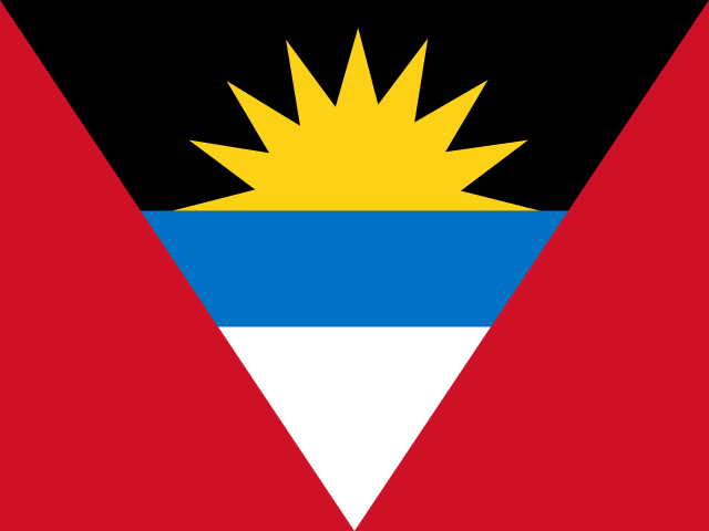 Antigua and Barbuda | St John's | 97,118 |
 Bahamas | Nassau | 389,482 |
 Barbados | Bridgetown | 287,025 |
 Cuba | Havana | 11.3 million |
 Dominica | Roseau | 71,808 |
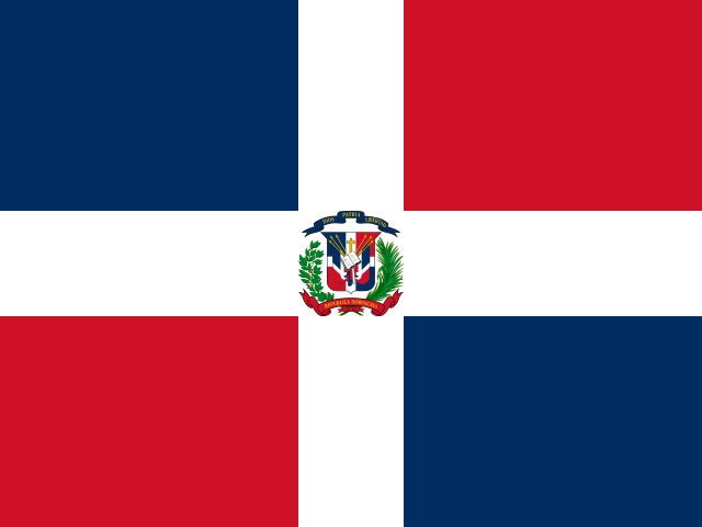 Dominican Republic | Santo Domingo | 10.7 million |
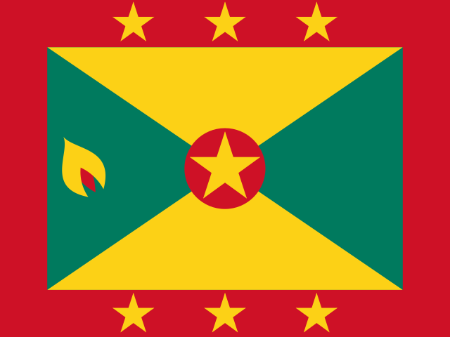 Grenada | St. George's | 112,003 |
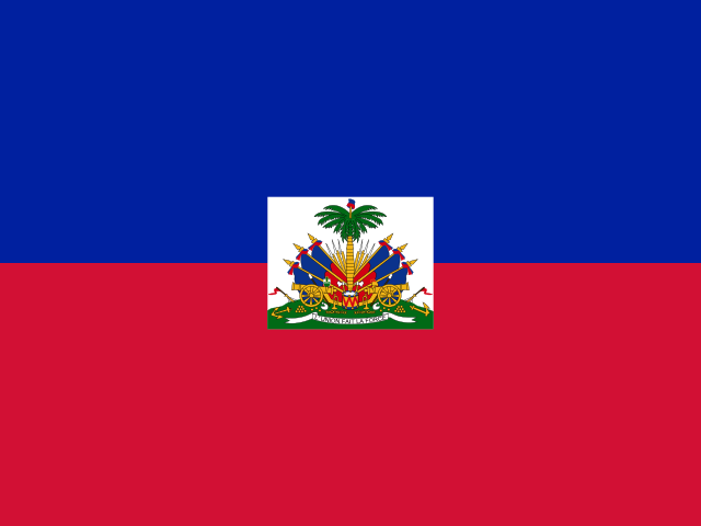 Haiti | Port-au-Prince | 11.3 million |
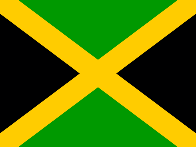 Jamaica | Kingston | 2.9 million |
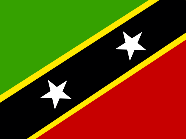 St Kitts and Nevis | Basseterre | 52,834 |
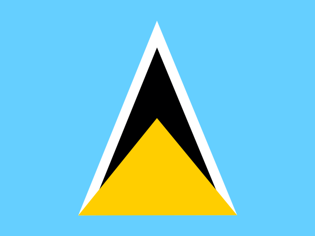 St Lucia | Castries | 182,790 |
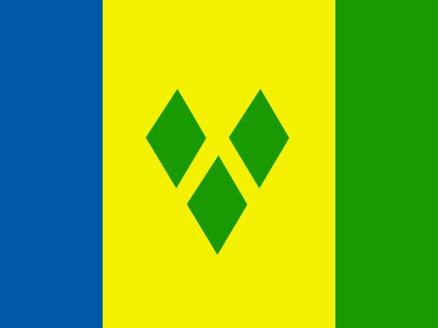 St Vincent and the Grenadines | Kingstown | 110,589 |
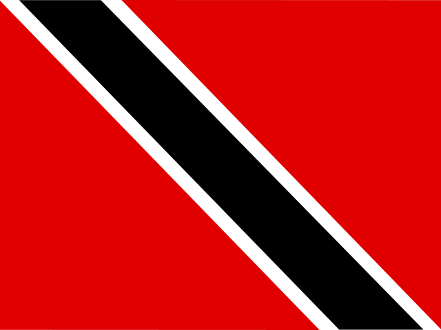 Trinidad and Tobago | Port of Spain | 1.4 million |