The Caribbean outlines quiz
Only the shape is shown, with no map around it. Can you tell which country it is? A great way to really learn the Caribbean.
Top scores
- The five fastest 100% rounds on this quiz.
Finish with 100% and post your time to get on the board – here or in full screen. All leaderboards
Your next quiz
 Central America quiz8 countries
 Europe quiz46 countries
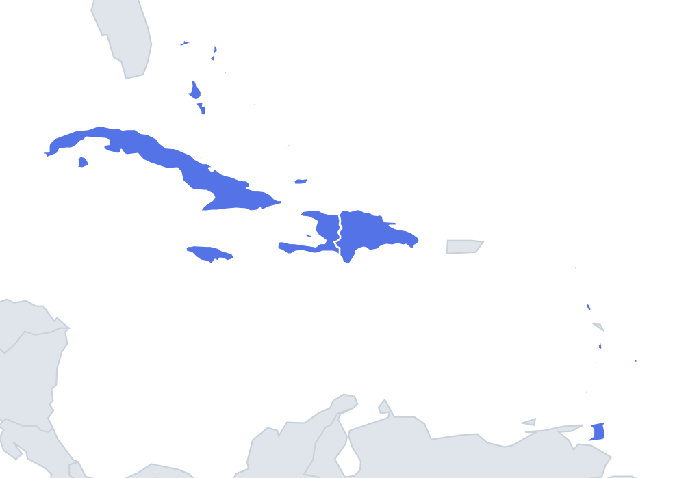
What's on this map
Thirteen shapes, and the outline quiz is harder than the map version because size is no longer a clue. Cuba at about 110,000 km² and St Kitts and Nevis at 261 km² can appear at a similar scale, so you have to read the coastline itself.
The big islands have memorable silhouettes. Cuba is long and thin, about 1,200 km from end to end, and Cubans nickname its shape el Caimán, after the caiman, a crocodilian related to the alligator. Jamaica is a tidy oval stretched east to west. Hispaniola is split, so you only ever see half an island: Haiti is a horseshoe with two long peninsulas wrapping around the Gulf of Gonâve, while the Dominican Republic is a chunky block with a flat western edge where the border runs. The Bahamas is not a single shape at all but a cloud of hundreds of low islands and cays.
The places people miss
- Trinidad and Tobago – Trinidad is almost square, with two arms reaching west towards Venezuela at its north-west and south-west corners. Tobago is a small cigar shape off to the north-east.
- St Kitts and Nevis – often compared to a bat and ball: St Kitts is the bat, with a narrow handle pointing south-east, and round Nevis is the ball just beyond it.
- St Lucia vs Dominica – both are single mountainous islands, taller than they are wide. Memory hook: St Lucia is a compact mango or teardrop shape; Dominica is longer and more even, like an oval leaf.
- Grenada vs St Vincent – both ovals with small islands strung below or above them. St Vincent's tail of Grenadines trails south; Grenada's own islets, Carriacou and Petite Martinique, sit to its north.
How to learn it
- Start with the ones you can name blind: Cuba's caiman, Haiti's horseshoe, the Bahamas' scatter.
- Learn the remaining small islands in pairs by what is attached: Antigua with flat Barbuda to the north, Trinidad with Tobago, St Kitts with Nevis, St Vincent with its Grenadines.
- Barbados is a lone pear shape with nothing attached, which is itself the clue.
- Run the quiz twice: once looking at coastlines, once looking only at the satellite islands around each shape.
Guides that help with this
- Oceans, seas, rivers and mountainsThe physical map: seas around each continent, the big rivers and ranges.
- Why you forget countries – and how spaced repetition fixes itThe forgetting curve, and how the Mistake Bank and flashcards use it.
- Flags that look alike (and how to tell them apart)Chad or Romania? Australia or New Zealand? The flag pairs that cost quiz points.
How it works
Each question shows one outline and four names. Similar-sized countries are mixed in, so it gets tricky.
All 13 countries in this quiz
Antigua and Barbuda, the Bahamas, Barbados, Cuba, Dominica, the Dominican Republic, Grenada, Haiti, Jamaica, St Kitts and Nevis, St Lucia, St Vincent and the Grenadines, Trinidad and Tobago.