West Africa borders quiz
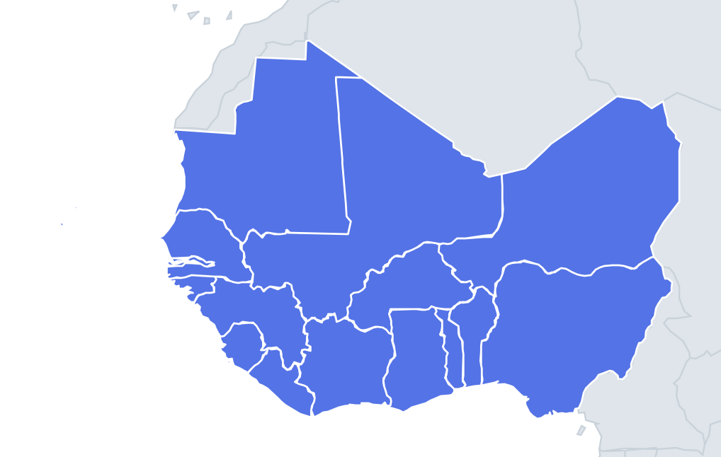
A country is shown. Which of the four options shares a border with it? It sounds easy until you get to the small ones.
Top scores
- The five fastest 100% rounds on this quiz.
Finish with 100% and post your time to get on the board – here or in full screen. All leaderboards
Your next quiz
 East Africa quiz11 countries
 Southern Africa quiz14 countries
What's on this map
Sixteen countries, but only fifteen with land neighbours: Cabo Verde is an island group about 570 km off Senegal and has no land border at all. Almost every line on this map was drawn by Europeans between the 1880s and the early 1900s, when France and Britain divided the region. France ended up with the large inland blocks that later became Mali, Niger, Burkina Faso and Mauritania, while Britain's colonies were coastal pockets: Gambia, Sierra Leone, the Gold Coast (now Ghana) and Nigeria. That is why so many British-heritage countries in the region are surrounded by French-speaking ones.
Some borders have unusual origins. Gambia is a strip never more than about 50 km wide following the Gambia River inland for over 300 km, and is completely surrounded by Senegal except for its short coastline. Togo's present shape comes from the split of German Togoland after the First World War: the western part joined the Gold Coast and is now part of Ghana. Benin and Togo are both long, narrow corridors from the coast into the interior.
The places people miss
- Niger and Mali – tied for the most neighbours here, seven each, including Algeria. Niger also borders Libya, Chad, Nigeria, Benin, Burkina Faso and Mali.
- Burkina Faso – six neighbours and no coast: Mali, Niger, Benin, Togo, Ghana and Ivory Coast.
- Guinea – six neighbours, more than any other coastal country here: Guinea-Bissau, Senegal, Mali, Ivory Coast, Liberia and Sierra Leone.
- Gambia – only one neighbour, Senegal.
- Nigeria – people forget it borders Chad, across Lake Chad, as well as Cameroon, Niger and Benin.
- Liberia – three neighbours, Sierra Leone, Guinea and Ivory Coast. It was settled from the 1820s by free and formerly enslaved Black Americans and declared independence in 1847.
How to learn it
- Learn the coast in order and each country's neighbours along it come for free.
- Then do Burkina Faso, which touches six countries and links the inland and coastal tiers.
- Use the Study view to check which countries reach outside the region, such as Algeria, Libya, Chad and Cameroon.
- Done is a full run without missing Nigeria–Chad or Mali–Senegal.
Guides that help with this
- Oceans, seas, rivers and mountainsThe physical map: seas around each continent, the big rivers and ranges.
- Why you forget countries – and how spaced repetition fixes itThe forgetting curve, and how the Mistake Bank and flashcards use it.
- Flags that look alike (and how to tell them apart)Chad or Romania? Australia or New Zealand? The flag pairs that cost quiz points.
How it works
Only land borders count. The full list of neighbours is below if you want to study first.
Neighbours of every country in West Africa
| Country | Borders |
|---|---|
 Benin | Burkina Faso, Niger, Nigeria, Togo |
 Burkina Faso | Benin, Ghana, Ivory Coast, Mali, Niger, Togo |
 Gambia | Senegal |
 Ghana | Burkina Faso, Ivory Coast, Togo |
 Guinea | Guinea-Bissau, Ivory Coast, Liberia, Mali, Senegal, Sierra Leone |
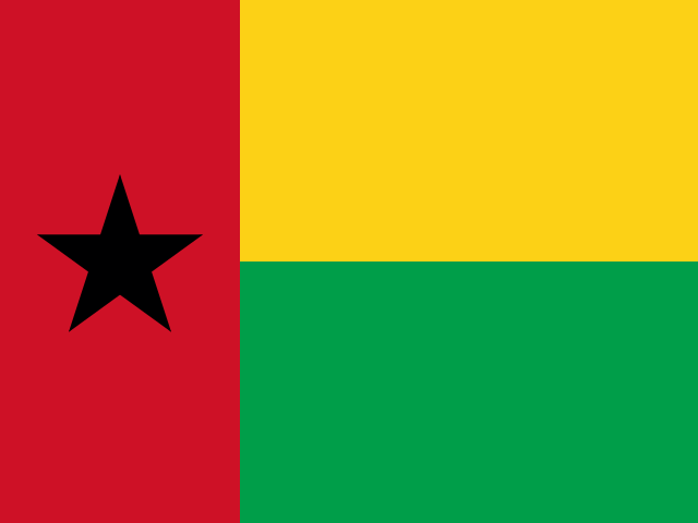 Guinea-Bissau | Guinea, Senegal |
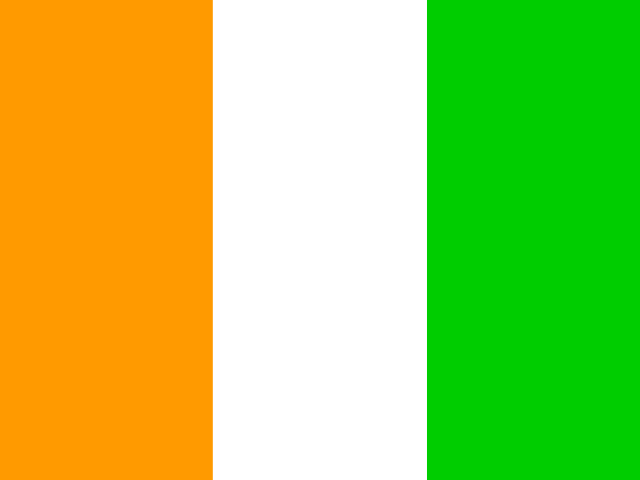 Ivory Coast | Burkina Faso, Ghana, Guinea, Liberia, Mali |
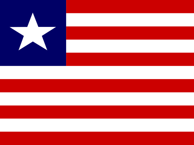 Liberia | Guinea, Ivory Coast, Sierra Leone |
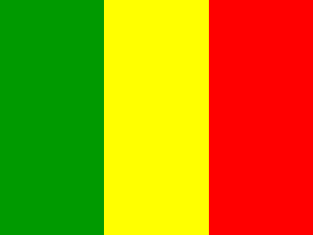 Mali | Algeria, Burkina Faso, Guinea, Ivory Coast, Mauritania, Niger, Senegal |
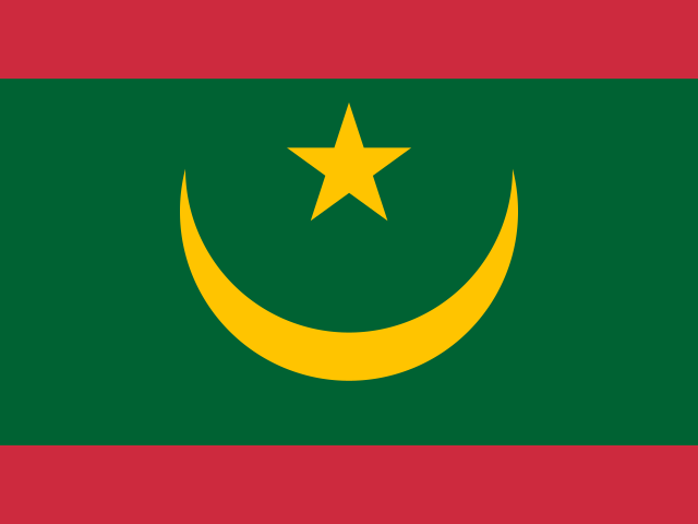 Mauritania | Algeria, Mali, Senegal |
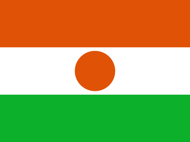 Niger | Algeria, Benin, Burkina Faso, Chad, Libya, Mali, Nigeria |
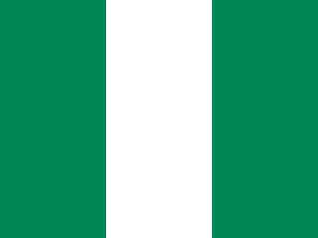 Nigeria | Benin, Cameroon, Chad, Niger |
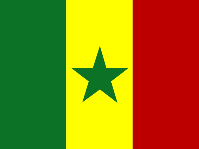 Senegal | Gambia, Guinea, Guinea-Bissau, Mali, Mauritania |
 Sierra Leone | Guinea, Liberia |
 Togo | Benin, Burkina Faso, Ghana |