West Africa outlines quiz
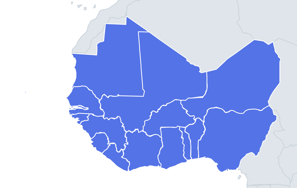
Only the shape is shown, with no map around it. Can you tell which country it is? A great way to really learn West Africa.
Top scores
- The five fastest 100% rounds on this quiz.
Finish with 100% and post your time to get on the board – here or in full screen. All leaderboards
Your next quiz
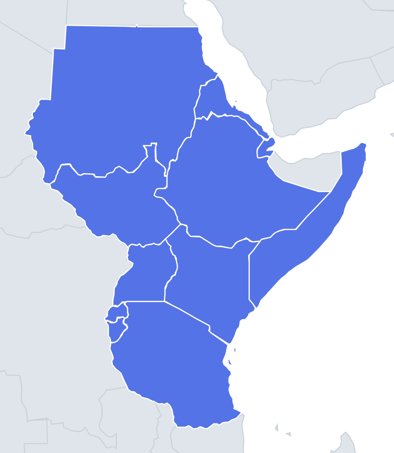 East Africa quiz11 countries
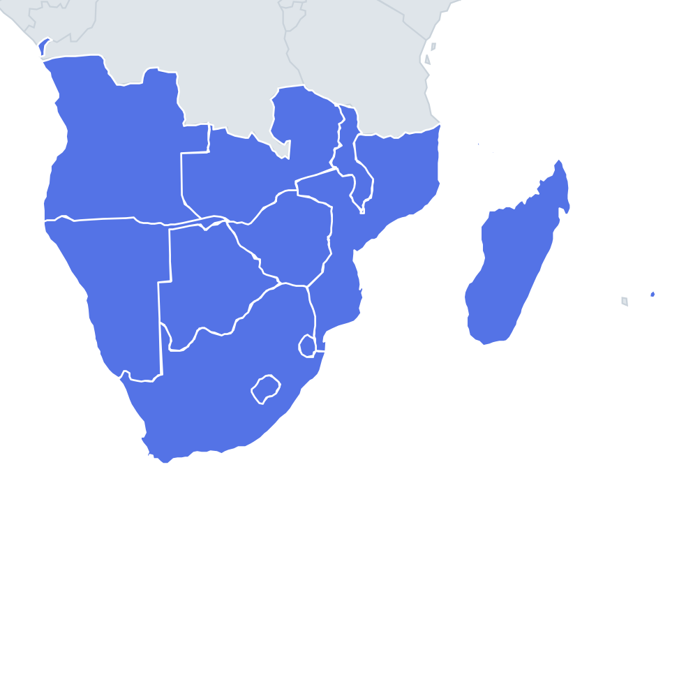 Southern Africa quiz14 countries
What's on this map
Sixteen shapes, and the outlines fall into two kinds. The big Saharan countries are defined by long straight lines drawn across the desert by French officials, so Mali, Niger and Mauritania have ruler-straight edges on one side and wandering river or coastal edges on the other. The smaller coastal countries tend to be compact blocks or thin vertical strips running inland from the Atlantic.
Mali is the easiest to spot: often described as a bow tie or butterfly, two large lobes joined by a narrow waist, with the inland delta of the Niger in the southern lobe. Niger is a big, roughly rectangular block with a heavy rounded southern half and a pointed north-east corner where it reaches towards Libya. Mauritania is a square-ish shape with long straight borders in the north and east and the winding Senegal River as its southern edge.
The places people miss
- Gambia – a long thin worm along the Gambia River, completely enclosed by Senegal except at the coast. Senegal's outline therefore has a deep slot cut into it.
- Togo vs Benin – both narrow vertical strips. Togo is the thinner one, only about 50 km wide at the coast; Benin widens out more in the north.
- Ghana vs Ivory Coast – both near-square. Ghana is taller than it is wide, with Lake Volta, one of the world's largest artificial lakes, in the middle; Ivory Coast is wider and has a lagoon coast in the south.
- Sierra Leone vs Liberia – Sierra Leone is round; Liberia is a slanted rectangle facing the sea.
- Guinea – a crescent or boomerang curving round Sierra Leone and Liberia.
- Cabo Verde – a ring of ten islands, nine of them inhabited, shaped like a horseshoe opening to the west.
How to learn it
- Name the giants first: Mali's bow tie, Niger's block, Mauritania's square.
- Then work along the coast and attach one feature to each: Gambia's worm, Guinea's crescent, Togo's thin strip.
- Nigeria is the last big shape, compact with a lump on the north-east around Lake Chad.
Guides that help with this
- Oceans, seas, rivers and mountainsThe physical map: seas around each continent, the big rivers and ranges.
- Why you forget countries – and how spaced repetition fixes itThe forgetting curve, and how the Mistake Bank and flashcards use it.
- Flags that look alike (and how to tell them apart)Chad or Romania? Australia or New Zealand? The flag pairs that cost quiz points.
How it works
Each question shows one outline and four names. Similar-sized countries are mixed in, so it gets tricky.
All 16 countries in this quiz
Benin, Burkina Faso, Cabo Verde, the Gambia, Ghana, Guinea, Guinea-Bissau, Ivory Coast, Liberia, Mali, Mauritania, Niger, Nigeria, Senegal, Sierra Leone, Togo.