How to Learn All European Countries on the Map
On this page
- Why 46?
- The method: learn in rings, not alphabetically
- Block 1: the western frame
- Block 2: the Nordics and the British Isles
- Block 3: Central Europe
- Block 4: the Baltics and the east
- Block 5: the Balkans, the hard part
- Block 6: islands and microstates
- Use borders, not just shapes
- A one-week plan
- Practise it
- FAQ
- Sources
Europe is the continent people most want to know and most often get wrong, because its countries are packed so tightly. This guide is a method, not a list: the order to learn the 46 countries in, the borders that lock them into place, and how to deal with the two hard parts – the Balkans and the microstates. If you already know where the countries are and want the capitals, go to All 46 European capitals with memory tricks.
Why 46?
Lists of European countries range from about 44 to 51. Our Europe quiz has 46: the 44 UN member states that are generally counted as European, plus Vatican City and Kosovo. Russia is in, because its capital and most of its people are in Europe. Cyprus is in, as an EU member, even though the island is geographically in Asia.
Turkey, Georgia, Armenia, Azerbaijan and Kazakhstan are left out of the Europe quiz and placed in the Asia quiz, although each has a foot in Europe or close ties to it. If another quiz counts them, that is why the totals differ.
The method: learn in rings, not alphabetically
Learning A to Z is the slowest way to learn a map, because Albania and Austria have nothing to do with each other. Learn the countries in regions, in an order where each new region borders one you already know. Every new country then has neighbours to hang on.
The order that works:
- The big western frame – 6 countries
- The Nordics and the British Isles – 7
- Central Europe – 8
- The Baltics and the east – 7, counting Russia
- The Balkans – 11
- Islands and microstates – 7
Do one block a day, then play the full quiz. Six blocks, about a week.
Block 1: the western frame
Spain, Portugal, France, Italy, Germany, Poland. These are big, they have shapes people recognise (the Iberian square, the French hexagon, the Italian boot), and they form a belt across the continent. Portugal is the strip on Spain's west side, not the south. Poland is the large square east of Germany. Once these six are fixed, every other country is "between", "above" or "below" them.
Block 2: the Nordics and the British Isles
Norway, Sweden, Finland, Denmark, Iceland, the United Kingdom, Ireland.
The Scandinavian peninsula is two countries side by side: Norway takes the long west coast, Sweden the east. Finland is to the east of Sweden, with a long border with Russia. Denmark is the small peninsula sticking up from Germany, plus islands – the only Nordic country that borders Germany. Iceland is the island far to the west, halfway to Greenland.
The UK and Ireland: Ireland is the island to the west, except its north-east corner, Northern Ireland, which is part of the UK. That shared land border is the only one Ireland has.
Block 3: Central Europe
Netherlands, Belgium, Luxembourg, Switzerland, Austria, Czechia, Slovakia, Hungary.
- West of Germany, in a column from top to bottom: Netherlands, Belgium, Luxembourg – the Benelux. Memory hook: the Netherlands ("low lands") is on the sea at the top, Luxembourg is the small inland one at the bottom, Belgium is the bridge between.
- South of Germany: Switzerland (west) and Austria (east). Austria is long and thin, stretching east to Vienna.
- East of Germany, below Poland: Czechia, then Slovakia further east. They were one country, Czechoslovakia, until 1993. Memory hook: Czechia is the western half, wedged into Germany; Slovakia is the eastern half, trailing off towards Ukraine.
- Hungary sits below Slovakia, east of Austria, as the flat basin of the Danube.
The tricky pair here is Slovakia and Slovenia. Slovakia is north of Hungary; Slovenia is the small country south-west of Hungary, between Austria, Italy and Croatia. Memory hook: SloVENia has "ven" as in Venice – it is the one on the Adriatic, near Venice; Slovakia is the other one. We put Slovenia in the Balkans block below.
Block 4: the Baltics and the east
Estonia, Latvia, Lithuania, Belarus, Ukraine, Moldova – then Russia as the frame.
The Baltics run in alphabetical order from north to south: Estonia, Latvia, Lithuania. Belarus is the landlocked country below them, east of Poland. Ukraine is the big country south of Belarus – the largest country that lies entirely in Europe. Moldova is the small, landlocked country between Ukraine and Romania.
One trap: Russia has a piece in the middle of all this. Kaliningrad, between Poland and Lithuania on the Baltic coast, is Russian territory cut off from the rest of Russia. Do not click it for Lithuania.
Block 5: the Balkans, the hard part
The Balkans hold eleven of the 46 countries in a small space, and seven of them, counting Kosovo, came out of the break-up of Yugoslavia from 1991 onwards. The fix is to anchor the edges first, then fill the middle.
Anchor the edges: - Greece – the bottom, the peninsula with many islands. - Romania – the big country at the top right, on the Black Sea. - Bulgaria – below Romania, also on the Black Sea, with the Danube as most of their border.
Then the coast, north to south along the Adriatic: - Slovenia – the small top piece, with a coastline only about 47 km long. - Croatia – the boomerang or crescent shape: one arm reaches inland towards Hungary, the other runs down the coast to Dubrovnik. - Bosnia and Herzegovina – the triangle filling the inside of Croatia's curve. It touches the sea at one point, a strip of about 20 km at Neum, which cuts Croatia's southern tip off from the rest of Croatia (the Pelješac Bridge, opened in 2022, now links them). - Montenegro – the small coastal country below Bosnia. - Albania – the coastal country below Montenegro, across the sea from the heel of Italy.
Then the inland three: - Serbia – the large landlocked country east of Bosnia, north of North Macedonia, with Belgrade on the Danube. - Kosovo – the small landlocked piece south of Serbia, between Montenegro, Albania and North Macedonia. Kosovo declared independence from Serbia in 2008; it is recognised by many countries but not all, and is not a UN member. Our quiz includes it. - North Macedonia – landlocked, directly north of Greece. Called Macedonia until 2019.
Hook for the coast: "Slow Cats Bite My Arm" – Slovenia, Croatia, Bosnia, Montenegro, Albania, top to bottom. Then the inland column: Serbia on top, Kosovo in the middle, North Macedonia at the bottom on Greece.
Practise this block on its own with The Balkans and The Balkans borders before you go back to the full map.
Block 6: islands and microstates
The islands: Malta (south of Sicily), Cyprus (far east of the Mediterranean, south of Turkey), plus Iceland, Ireland and the UK from block 2.
The microstates are the ones you cannot see without zooming – five new ones, plus Luxembourg from block 3 for comparison. They are easy once you know which country each sits inside or next to:
| Microstate | Where it is | Area |
|---|---|---|
| Vatican City | Inside Rome, Italy | 0.49 km² |
| Monaco | On the French Riviera, next to Nice | about 2 km² |
| San Marino | Inside north-east Italy | about 61 km² |
| Liechtenstein | Between Switzerland and Austria | about 160 km² |
| Andorra | In the Pyrenees between France and Spain | about 468 km² |
| Luxembourg | Between Belgium, France and Germany | about 2,590 km² |
Memory hook: two inside Italy (Vatican, San Marino), one on the French coast (Monaco), one in the Pyrenees (Andorra), two in the Alps and Rhine area (Liechtenstein, Luxembourg). Liechtenstein is also one of only two doubly landlocked countries in the world – surrounded only by landlocked countries. The other is Uzbekistan. Our landlocked countries guide has the rest.
In the quiz, zoom in before you click. Most misses on microstates are clicks that land on the neighbour.
Use borders, not just shapes
Once you can find each country, test yourself on who touches whom. The Europe borders quiz is good for this. Borders give you facts that make the map stick:
- Germany has nine neighbours, more than any other EU country: Denmark, Poland, Czechia, Austria, Switzerland, France, Luxembourg, Belgium and the Netherlands.
- Portugal has one land neighbour, Spain. So do Denmark (Germany), Ireland and the UK (each other), San Marino and Vatican City (both Italy) and Monaco (France).
- Serbia borders eight countries (counting Kosovo), which is why it is the key to the Balkans.
A one-week plan
| Day | What to do |
|---|---|
| 1 | Block 1 + 2 in Study mode, then play Europe once for a baseline |
| 2 | Block 3, Central Europe |
| 3 | Block 4, the Baltics and the east |
| 4 | Block 5, the Balkans quiz on its own |
| 5 | Block 6, islands and microstates, zoomed in |
| 6 | Full Europe quiz; write down every miss |
| 7 | Replay only yesterday's misses, then the full quiz again |
When the map is clean, add Europe outlines (shapes without neighbours) and Europe capitals.
Practise it
- Europe – all 46 on the map.
- The Balkans – the hardest cluster on its own.
- Europe borders – who neighbours whom.
- Daily puzzles – a quick mixed review.
Tip: after each session, note the three countries you missed and start the next day with those. Short daily repeats beat one long session – this is the spacing effect, explained in Why spaced repetition works for geography.
FAQ
How many countries are in Europe?
It depends on the list: 44 UN members are usually counted as European, and adding Vatican City and Kosovo gives 46, which is what our quiz uses. Lists that also count Turkey, Georgia, Armenia, Azerbaijan and Kazakhstan reach about 51.
What is the fastest way to learn the countries of Europe?
Learn them by region in an order where each region borders one you already know, one region a day, and play a map quiz after each. Most people can place all of them within a week this way.
Which European countries are hardest to find?
The microstates (Vatican City, Monaco, San Marino, Liechtenstein, Andorra) because they are tiny, and the Balkans because eleven countries share a small area. Zoom in for the first group and learn the Adriatic coast in order for the second.
What is the smallest country in Europe?
Vatican City, at 0.49 km², the smallest country in the world. Monaco is second at about 2 km².
Sources
More guides
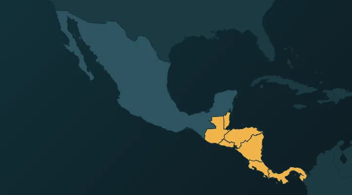 Central America Map: All 7 Countries and Capitals, Plus Where Mexico Fits
The 7 countries of Central America and their capitals in map order, with a hook for each, plus why Mexico and the Caribbean are counted separately.
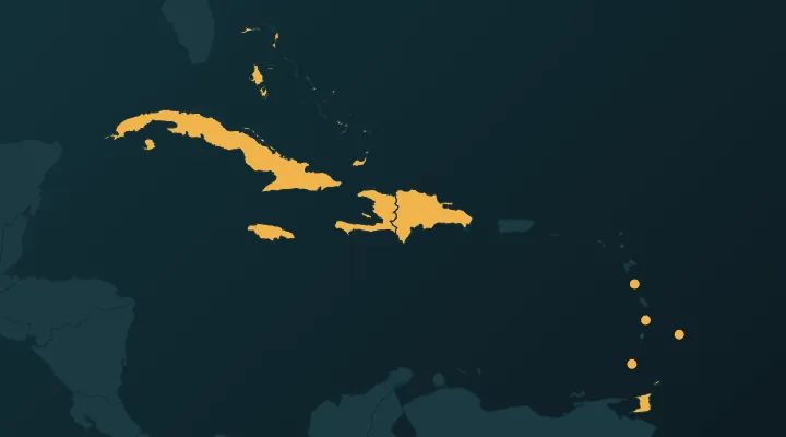 Caribbean Countries and Capitals – All 13, With Map Hooks
All 13 Caribbean countries and capitals in map order, with hooks for the traps: Dominica, Kingston vs Kingstown, the three saints.
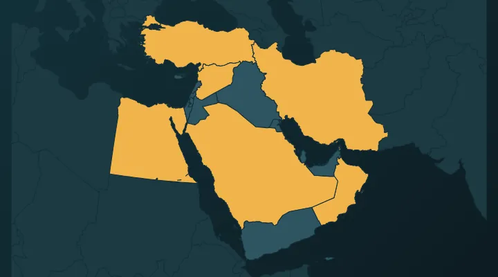 Middle East Map: How to Learn All 17 Countries and Their Capitals
The 17 countries of the Middle East and their capitals, peninsula first – and the four capitals everyone gets wrong.