Middle East Map: How to Learn All 17 Countries and Their Capitals
On this page
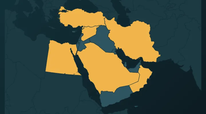
The Middle East looks crowded on a world map – big shapes like Saudi Arabia and Iran next to tiny ones like Bahrain and Qatar that you can barely click. But the region has a simple structure: a ring of countries around the Arabian Peninsula, a row along the eastern Mediterranean, two large countries to the north and east, and Egypt and Cyprus on the edges. Learn it in that order and the small ones fall into place. By the end of this guide you should be able to place all 17 and avoid the four capital traps that catch most people.
Which countries count?
There is no single official list of "the Middle East". Britannica's own maps include anything from 17 countries to more than 20, depending on whether North Africa, Turkey or Central Asia are added. Quiz the Map uses 17: the seven countries of the Arabian Peninsula, the five of the Levant (counting Palestine), Iraq, Iran, Turkey, Egypt and Cyprus. Libya, Sudan and the rest of North Africa are in our Arab League quiz instead.
Step 1: the Arabian Peninsula (7 countries)
The peninsula is the big block between the Red Sea on the west and the Persian Gulf on the east. Place Saudi Arabia first, then go round the coast.
Saudi Arabia – Riyadh. The giant, covering about four-fifths of the peninsula. Riyadh is in the middle of the country, in the desert, not on either coast. Jeddah (on the Red Sea) and Mecca are better known abroad, which is why people guess them. Memory hook: Riyadh is the bullseye of the peninsula.
Yemen – Sana'a. The south-western corner, below Saudi Arabia, facing both the Red Sea and the Gulf of Aden. Sana'a sits high in the mountains at about 2,250 metres, and its old city of tower houses is a UNESCO World Heritage Site. Note that Sana'a has been held by the Houthi movement since 2014, and the internationally recognised government works from Aden in the south. Sana'a remains the constitutional capital and the quiz answer.
Oman – Muscat. The south-eastern corner, curving round the tip of the peninsula onto the Arabian Sea. Watch for Musandam, a separate piece of Oman at the very tip of the Strait of Hormuz, cut off from the rest of the country by the UAE. On the map it looks like a stray fragment of the Emirates – it isn't.
United Arab Emirates – Abu Dhabi. The Gulf coast north-west of Oman. The UAE is a federation of seven emirates, and the capital is Abu Dhabi – the largest emirate – not Dubai. Dubai is the bigger and more famous city, which makes this the most common capital mistake in the region.
Qatar – Doha. The thumb-shaped peninsula sticking north into the Gulf, attached only to Saudi Arabia. Doha is on its east coast.
Bahrain – Manama. A small archipelago just north-west of Qatar, linked to Saudi Arabia by the King Fahd Causeway (about 25 km). At under 800 km² it is the smallest country in the Middle East – on a world map it is one of the hardest clicks in Asia. Memory hook: Bahrain is the island in the bay between Saudi Arabia and Qatar's thumb.
Kuwait – Kuwait City. The small wedge at the top of the Gulf, between Iraq and Saudi Arabia. The capital shares the country's name.
Hook for the Gulf coast from the top: Kuwait, Bahrain, Qatar, UAE, Oman – "Kind Bakers Quietly Use Ovens". Saudi Arabia's coast runs alongside the first three.
Step 2: the Levant (5 countries)
The Levant is the strip along the eastern Mediterranean. Learn the three coastal countries from north to south, then the two behind them.
Syria – Damascus. The biggest of the five, in the north, bordering Turkey. Damascus is in the south-west of the country near the Lebanese border, not in the middle, and is one of the oldest continuously inhabited cities in the world. Syria has used a new national flag since the end of 2024: green, white and black stripes with three red stars.
Lebanon – Beirut. The thin strip on the coast, west of Syria, small enough that you may need to zoom. Beirut is on the Mediterranean, in the middle of the coastline.
Israel – Jerusalem. South of Lebanon, on the coast. Israel names Jerusalem as its capital, and the government and parliament sit there. Most countries do not recognise this and keep their embassies in Tel Aviv; the United States moved its embassy to Jerusalem in 2018. The quiz accepts Jerusalem, as Israel designates it.
Palestine – Ramallah (administrative). Two separate pieces: the West Bank, east of Israel and bordering Jordan, and the Gaza Strip on the coast next to Egypt. Palestine claims East Jerusalem as its capital, while the Palestinian Authority works from Ramallah, which is what the quiz takes. As of late 2025, about 157 of the 193 UN member states recognise the State of Palestine.
Jordan – Amman. Inland, east of Israel and the West Bank, with a tiny coastline of about 26 km on the Gulf of Aqaba at the very south. Amman is in the north-west of the country.
Memory hook: down the coast, Syria – Lebanon – Israel; behind them, Palestine's West Bank and then Jordan.
Step 3: the big three – Turkey, Iraq, Iran
Turkey – Ankara. The large country across the top, bridging Europe and Asia. Ankara, in central Anatolia, has been the capital since 1923; Istanbul is far bigger and was the Ottoman capital. Like Abu Dhabi and Dubai, this is a "the famous city is not the capital" trap.
Iraq – Baghdad. Below Turkey, between Syria and Iran, along the Tigris and Euphrates rivers. Iraq touches the Gulf only at a short stretch of coast near Basra, squeezed between Kuwait and Iran. Baghdad is on the Tigris, roughly in the middle of the country.
Iran – Tehran. The big country to the east, between Iraq and Afghanistan, with coasts on both the Persian Gulf and the Caspian Sea. Tehran is in the north, on the southern slopes of the Alborz mountains – look just south of the Caspian.
Memory hook: Turkey on top, Iran on the right, Iraq in the gap between them and Syria.
Step 4: the edges – Egypt and Cyprus
Egypt – Cairo. Most of Egypt is in Africa, but the Sinai Peninsula, east of the Suez Canal, is in Asia, and Egypt has always been central to Middle Eastern politics – which is why it is included. Cairo sits on the Nile where the delta begins to fan out. Egypt has moved many ministries to a New Administrative Capital about 45 km east of Cairo, but Cairo is still the official capital.
Cyprus – Nicosia. The island in the eastern Mediterranean, south of Turkey and west of Syria. Cyprus is a member of the European Union, and we also include it in our Europe quiz, but geographically it sits in Asia. Nicosia is in the middle of the island and has been divided since 1974 between the Republic of Cyprus and the Turkish-controlled north.
The four capitals people get wrong
- UAE – Abu Dhabi, not Dubai.
- Turkey – Ankara, not Istanbul.
- Saudi Arabia – Riyadh, not Jeddah or Mecca.
- Israel and Palestine – the quiz takes Jerusalem for Israel and Ramallah for Palestine, but both are disputed. Learn the answer the quiz expects and the reason it is contested.
Kuwait (Kuwait City) and Bahrain (Manama) are rarely got wrong once you have seen them – their difficulty is clicking them on the map, not naming the capital.
Flags that trip people up
Many Middle Eastern flags use the pan-Arab colours red, white, green and black. A few quick separators:
- Qatar vs Bahrain – both are white with a serrated edge. Qatar is maroon with nine points; Bahrain is red with five points.
- Iraq, Yemen and Egypt – all red-white-black stripes. Yemen is plain; Egypt has a gold eagle; Iraq has green Arabic script. Syria used the same stripes with two green stars until 2024, so older quiz sets and atlases may still show that version.
- Jordan vs Palestine – the same black-white-green stripes and red triangle, but Jordan's triangle has a white seven-pointed star.
The Flags that look alike guide covers more of these.
Practise it
- Middle East – all 17 on the map. Expect to miss Bahrain, Qatar and Lebanon at first.
- Middle East capitals – the traps above are where the points go.
- Middle East flags – the hardest of the three, because of the shared colours.
- Arab League – adds the North African members.
Tip: play the map quiz in the order of this guide – peninsula, Levant, the big three, the edges – and for each one you miss, say its neighbour out loud ("Bahrain, next to Qatar"). Replay the next day starting with the misses.
FAQ
How many countries are in the Middle East?
There is no fixed number. A common definition, and the one Quiz the Map uses, gives 17 countries from Egypt and Turkey to Iran and the Arabian Peninsula. Wider definitions add North Africa or Afghanistan and Pakistan.
What is the capital of the UAE?
Abu Dhabi. Dubai is the largest city but not the capital.
What is the smallest country in the Middle East?
Bahrain, at under 800 km². It is an island nation in the Persian Gulf, between Saudi Arabia and Qatar.
Is Egypt in the Middle East or Africa?
Both. Almost all of Egypt is in Africa, but the Sinai Peninsula is in Asia, and Egypt is usually counted as part of the Middle East.
Sources
More guides
 Central America Map: All 7 Countries and Capitals, Plus Where Mexico Fits
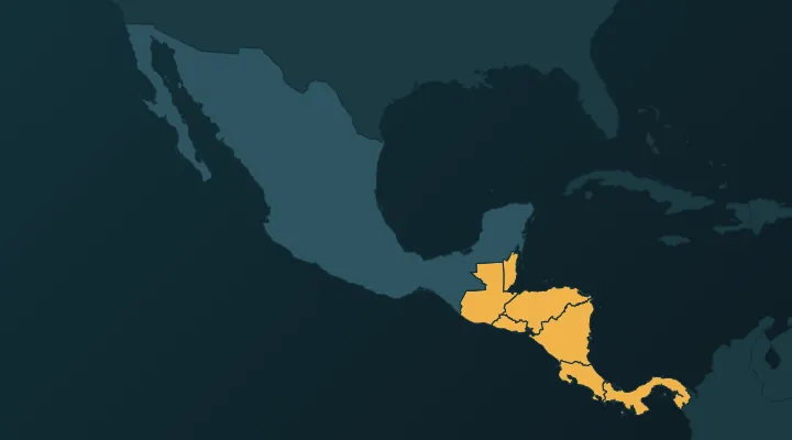
The 7 countries of Central America and their capitals in map order, with a hook for each, plus why Mexico and the Caribbean are counted separately.
 Caribbean Countries and Capitals – All 13, With Map Hooks
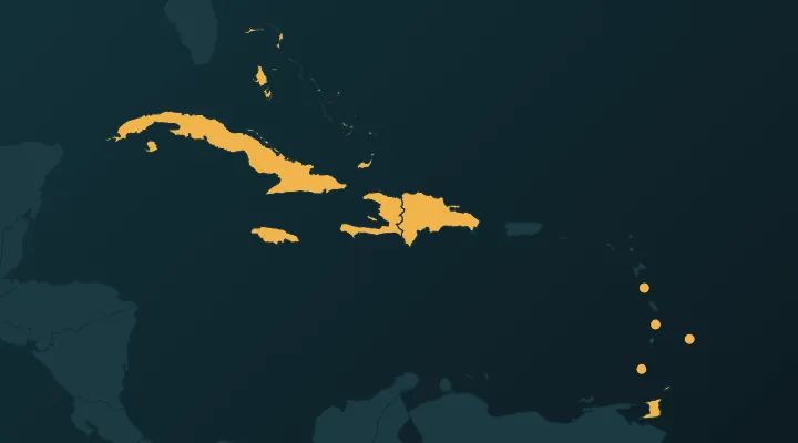
All 13 Caribbean countries and capitals in map order, with hooks for the traps: Dominica, Kingston vs Kingstown, the three saints.
 How to Learn All European Countries on the Map
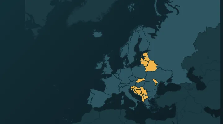
A one-week method to learn all 46 European countries on the map: regions in order, key borders, and how to crack the Balkans and the microstates.