Caribbean Countries and Capitals – All 13, With Map Hooks
On this page
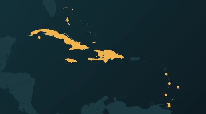
The Caribbean has 13 independent countries, and on a world map most of them are specks. They are also a capitals minefield: three capitals are named after saints, two are called "Kingston" or "Kingstown", and two pairs of countries have almost the same name. This guide takes you through all 13 in map order, from the big islands in the north-west down the island arc to Trinidad, with a hook for each country and capital.
These are the same 13 countries as the Caribbean quiz on Quiz the Map. Places like Puerto Rico, Aruba, Curaçao, Guadeloupe and the Cayman Islands are territories of the US, the Netherlands, France and the UK, so they are not in the list. The mainland countries with a Caribbean coast – Belize, Mexico and the Central American states, Colombia, Venezuela, Guyana and Suriname – belong to the Central America and South America quizzes.
The shape of the region
Learn the Caribbean as three groups and the specks stop being random:
- The Greater Antilles – the four big islands in the north-west: Cuba, Hispaniola (Haiti and the Dominican Republic), Jamaica and Puerto Rico (a US territory).
- The Bahamas – a long chain of low islands running north-west of Cuba up towards Florida. Strictly they lie in the Atlantic, not the Caribbean Sea, but they are always grouped with the Caribbean.
- The Lesser Antilles – the arc of small islands curving south from Puerto Rico to the coast of Venezuela. Seven of the 13 countries are here, plus Barbados just to the east and Trinidad and Tobago at the bottom.
The Greater Antilles and the Bahamas
Cuba – Havana. The largest Caribbean country by far, a long island stretching about 1,200 km west to east, only about 150 km south of Florida. Havana is on the north coast, at the western end – it faces Florida. Memory hook: Havana looks north to the US.
Jamaica – Kingston. South of Cuba's eastern half. Kingston is on the south-east coast, beside one of the largest natural harbours in the world. Jamaica's black, green and gold flag is the only national flag with no red, white or blue. Memory hook: Kingston, Jamaica – the King has one "s" and no "w".
Haiti – Port-au-Prince. The western third of Hispaniola, east of Cuba. Port-au-Prince sits at the back of the deep bay between Haiti's two western peninsulas. Haiti won independence from France in 1804 after a revolution of enslaved people – the second independent country in the Americas, after the United States, and the first Black-led republic. It is the most populous Caribbean country, with about 12 million people. Memory hook: Haiti on the left, the French-speaking side.
Dominican Republic – Santo Domingo. The eastern two-thirds of Hispaniola. Santo Domingo, on the south coast, was founded in 1498 and is the oldest continuously inhabited European city in the Americas; UNESCO lists the first cathedral, hospital and university in the Americas there. Memory hook: Santo Domingo is the old Spanish city on the Spanish-speaking side.
Bahamas – Nassau. The chain of about 700 islands north of Cuba and east of Florida. Nassau is on New Providence, a small island near the middle of the chain – not on the biggest island, Andros. Memory hook: Nassau is a short flight from Miami.
The northern Lesser Antilles (the Leeward Islands)
St Kitts and Nevis – Basseterre. Two islands south-east of Puerto Rico, beyond the Virgin Islands. It is the smallest country in the Americas, about 261 km², and the smallest federation in the world. Basseterre is on St Kitts, the larger island. Alexander Hamilton was born on Nevis. Memory hook: Basseterre is French for "low land", a reminder that St Kitts was once shared between France and Britain.
Antigua and Barbuda – St John's. East of St Kitts. Antigua is the main island; Barbuda is about 45 km to the north. St John's is on Antigua's north-west coast. Memory hook: St John's, Antigua – the same name as the capital of Newfoundland in Canada, so watch the context.
The southern Lesser Antilles (the Windward Islands)
Going south, four countries in a row. Learn them in order: Dominica, St Lucia, St Vincent, Grenada – with the French islands of Guadeloupe and Martinique slotted in between.
Dominica – Roseau. Between Guadeloupe and Martinique. A green, mountainous volcanic island, nicknamed the "Nature Island". Its flag shows a purple sisserou parrot, making it one of very few national flags with purple. Roseau is on the south-west coast. Not to be confused with the Dominican Republic – they are more than 700 km apart. Memory hook: Dominica is the small island; the Dominican Republic is the big half of Hispaniola. Different languages, different flags, different capitals.
St Lucia – Castries. South of Martinique. The famous twin volcanic peaks, the Pitons, are on the south-west coast; the yellow and black triangles on the flag represent them. Castries is in the north-west, on a deep harbour. Memory hook: St Lucia – the Pitons on the flag, Castries in the north.
St Vincent and the Grenadines – Kingstown. South of St Lucia. St Vincent is the main island; the Grenadines are a chain of small islands running south towards Grenada (the southern ones belong to Grenada). Memory hook: Kingston has no "w" and is in Jamaica; KingsTOWN is the small town on St Vincent.
Grenada – St George's. The southern end of the Windward chain, about 150 km north of Venezuela. Known as the "Isle of Spice" – the flag has a nutmeg on it. St George's is on the south-west coast, on a horseshoe-shaped harbour. Memory hook: Grenada and the Grenadines are neighbours, but only Grenada is a country.
East and south of the arc
Barbados – Bridgetown. On its own, about 170 km east of St Vincent, out in the Atlantic – the easternmost Caribbean country. Bridgetown is on the south-west coast. Barbados became a republic on 30 November 2021, replacing the British monarch as head of state, exactly 55 years after independence. Memory hook: Barbados is the one that breaks the line – look east of the arc.
Trinidad and Tobago – Port of Spain. The two southernmost islands. Trinidad is only about 11 km from Venezuela at the closest point and was once joined to South America; Tobago is a smaller island to the north-east. Port of Spain is on the west coast of Trinidad, facing the Gulf of Paria. Memory hook: Port of Spain, but English is spoken – Trinidad was Spanish until 1797, then British.
All 13 at a glance
| Country | Capital | Where | Main language |
|---|---|---|---|
| Cuba | Havana | Largest island, south of Florida | Spanish |
| Jamaica | Kingston | South of eastern Cuba | English |
| Haiti | Port-au-Prince | Western Hispaniola | French, Haitian Creole |
| Dominican Republic | Santo Domingo | Eastern Hispaniola | Spanish |
| Bahamas | Nassau | Island chain north of Cuba | English |
| St Kitts and Nevis | Basseterre | North of the Lesser Antilles | English |
| Antigua and Barbuda | St John's | East of St Kitts | English |
| Dominica | Roseau | Between Guadeloupe and Martinique | English |
| St Lucia | Castries | South of Martinique | English |
| St Vincent and the Grenadines | Kingstown | South of St Lucia | English |
| Grenada | St George's | South end of the Windward chain | English |
| Barbados | Bridgetown | East of the arc, in the Atlantic | English |
| Trinidad and Tobago | Port of Spain | Off the coast of Venezuela | English |
The traps
- Dominica vs Dominican Republic. Small English-speaking island (Roseau) vs half of Hispaniola (Santo Domingo).
- Kingston vs Kingstown. Jamaica vs St Vincent and the Grenadines.
- Three saints. St John's (Antigua), St George's (Grenada), and St Kitts, St Lucia and St Vincent as country names. Note which saint goes with which: John – Antigua, George – Grenada.
- Grenada vs the Grenadines. One country, and a chain of islands shared between two.
- Port-au-Prince vs Port of Spain. Haiti (French) vs Trinidad (English, with a Spanish name).
- Barbados vs Barbuda. Barbados is its own country; Barbuda is half of Antigua and Barbuda.
The order trick for the Lesser Antilles
From north to south, the independent countries in the arc are: St Kitts and Nevis, Antigua and Barbuda, Dominica, St Lucia, St Vincent, Grenada, then Trinidad at the bottom and Barbados off to the east. A sentence to lock in the order: Kitts and Annie Dominate Lucy's Vintage Grenades.
Practise it
- The Caribbean – find all 13 on the map.
- Caribbean capitals – the saints, Kingston and Kingstown.
- Caribbean flags – Dominica's parrot, Grenada's nutmeg and St Lucia's Pitons.
- Tip: play the map quiz with the arc rhyme in your head, then do the capitals quiz the next day. For more small-island help, see the hardest countries to find and countries people mix up.
FAQ
How many countries are in the Caribbean?
13 independent countries. The region also has around 20 territories belonging to the US, UK, France and the Netherlands, such as Puerto Rico, Aruba and Martinique.
What is the largest Caribbean country?
Cuba, at about 110,000 km² – slightly larger than the other 12 combined. Haiti has the most people, with Cuba and the Dominican Republic close behind.
What is the smallest country in the Caribbean?
St Kitts and Nevis, at about 261 km². It is also the smallest country in the Americas.
Is Puerto Rico a country?
No. Puerto Rico is a territory of the United States, and its people are US citizens.
Sources
More guides
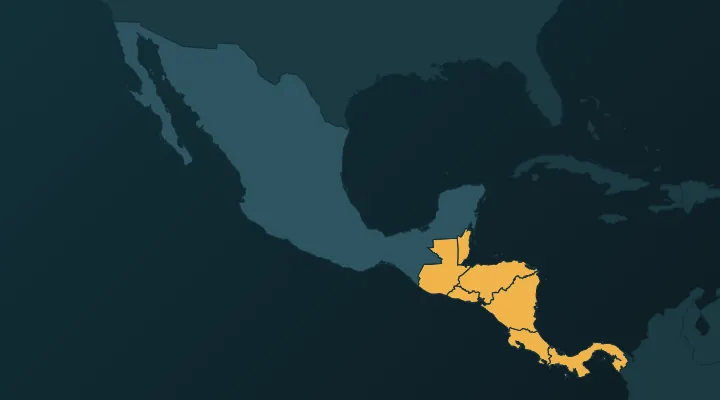 Central America Map: All 7 Countries and Capitals, Plus Where Mexico Fits
The 7 countries of Central America and their capitals in map order, with a hook for each, plus why Mexico and the Caribbean are counted separately.
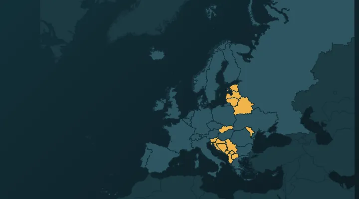 How to Learn All European Countries on the Map
A one-week method to learn all 46 European countries on the map: regions in order, key borders, and how to crack the Balkans and the microstates.
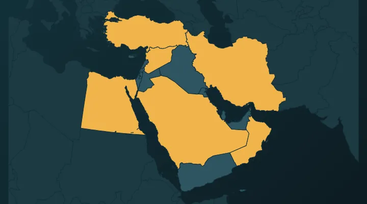 Middle East Map: How to Learn All 17 Countries and Their Capitals
The 17 countries of the Middle East and their capitals, peninsula first – and the four capitals everyone gets wrong.