Pacific Island Countries: All 12 Island Nations, Their Capitals and How to Place Them
On this page
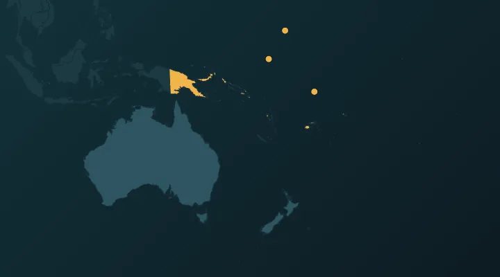
Oceania has 14 countries. Two are easy – Australia and New Zealand. The other 12 are island nations scattered across the Pacific, and on a world map most of them are a few dots in a lot of blue. After reading this you will be able to sort all 12 into Melanesia, Micronesia and Polynesia, put each one in the right part of the ocean, and name every capital.
The three-region trick
Every Pacific island country belongs to one of three cultural and geographic regions. Learn the regions first and the countries fall into place:
- Melanesia – the south-west, the big and mountainous islands just north-east of Australia. Papua New Guinea, Solomon Islands, Vanuatu, Fiji.
- Micronesia – the north-west, small islands and atolls mostly north of the equator. Palau, Micronesia (Federated States), Marshall Islands, Nauru, Kiribati.
- Polynesia – the east, a huge triangle with Hawaii, New Zealand and Easter Island at its corners. Samoa, Tonga, Tuvalu.
This is the same grouping the UN uses in its statistical regions. The names help: Micronesia means "small islands", Melanesia "black islands" (named by Europeans after the dark-skinned people they met), and Polynesia "many islands".
A mental picture that works: Melanesia is an arc of big islands curving around Australia's north-east. Micronesia is a band of dots above it. Polynesia spreads out to the east.
Melanesia – the big islands
Papua New Guinea – Port Moresby. The eastern half of New Guinea, the world's second-largest island; the western half belongs to Indonesia, and the border is a nearly straight north–south line. By far the biggest Pacific island country, with about 10–12 million people (estimates vary widely) and more than 800 languages, the most of any country. Port Moresby is on the south-east coast, facing Australia across the Coral Sea. Independent from Australia since 1975. Memory hook: Port Moresby faces Australia – the country that ran the territory until 1975.
Solomon Islands – Honiara. A double chain of islands east of Papua New Guinea. Honiara is on Guadalcanal, the island known for the long Allied–Japanese battle of 1942–43. Watch out: Bougainville, the big island at the north-west end of the chain, belongs to Papua New Guinea, not to the Solomon Islands. Memory hook: Honiara is on Guadalcanal – the name most people already know from history.
Vanuatu – Port Vila. A Y-shaped chain of about 80 islands south-east of the Solomons. Before 1980 it was the New Hebrides, run jointly by Britain and France – a rare shared colony. That is why Bislama, English and French are all official. Port Vila is on the island of Efate. Memory hook: Vanuatu and Vila – both start with V.
Fiji – Suva. East of Vanuatu, a cluster of more than 300 islands around two large ones. Suva is on Viti Levu, the largest. The 180° meridian passes through Fiji, but the date line bends around it so the whole country keeps one date. Fiji sits on the border between Melanesia and Polynesia and its culture mixes both. Memory hook: Fiji, Suva – two short words, the hub of the South Pacific.
Micronesia – the dots north of the equator
West to east, almost in a line: Palau, Federated States of Micronesia, Marshall Islands. Nauru and Kiribati sit further south-east, on the equator.
Palau – Ngerulmud. The westernmost, about 800 km east of the Philippines. The capital moved in 2006 from Koror, the main town, to Ngerulmud, a government complex on the larger island of Babeldaob. It has almost no residents – often called the least-populated national capital. Memory hook: Palau is the one closest to Asia, and its capital is the one nobody lives in.
Micronesia – Palikir. Officially the Federated States of Micronesia: four states (Yap, Chuuk, Pohnpei, Kosrae) in a line about 2,700 km long. Palikir is on Pohnpei. Do not mix up the country with the region – the country is only part of the region called Micronesia. Memory hook: Palikir on Pohnpei – two P's.
Marshall Islands – Majuro. East of Micronesia, two parallel chains of 29 atolls called Ratak ("sunrise", east) and Ralik ("sunset", west). Bikini and Enewetak atolls here were used for US nuclear tests from 1946 to 1958. Memory hook: Marshall and Majuro – both start with Ma.
Nauru – Yaren (no official capital). A single island of 21 km², about 50 km south of the equator, north-east of the Solomon Islands. It has no official capital; government offices are in the Yaren district, which quizzes accept as the answer. Phosphate mining stripped most of the island's interior in the 20th century. Memory hook: one island, one district – Nauru, Yaren.
Kiribati – South Tarawa. Pronounced "KIR-i-bas" (the "ti" is said like "s"). Its 33 islands are spread over more than 3,000 km of ocean from west to east, in three groups: the Gilbert Islands (where most people live), the Phoenix Islands and the Line Islands. It is the only country whose own islands lie in all four hemispheres, north and south of the equator and east and west of the 180° meridian. On 31 December 1994 it moved the date line so the whole country shares one date, which puts its Line Islands in UTC+14, the earliest time zone on Earth. The capital is South Tarawa, on Tarawa atoll in the Gilberts. Memory hook: Kiribati is a Pacific "Gilbert" – the name is a local spelling of "Gilberts".
Polynesia – the eastern triangle
Samoa – Apia. North-east of Fiji. Two main islands, Upolu and Savai'i; Apia is on Upolu. Until 1997 the country was called Western Samoa, to tell it apart from American Samoa, a US territory just to the east. At the end of 2011 Samoa skipped Friday 30 December entirely to move to the Australian–New Zealand side of the date line. Samoa became independent from New Zealand in 1962, the first Pacific island country to do so. Memory hook: Samoa and Apia – both end in "a", and it was the first to go independent.
Tonga – Nuku'alofa. South of Samoa, south-east of Fiji: about 170 islands in a north–south line. It is a kingdom, the only Pacific island monarchy with its own royal line, and it was never formally colonised (it was a British protected state from 1900 to 1970). Nuku'alofa is on Tongatapu, the largest island. The 2022 Hunga Tonga–Hunga Ha'apai eruption sent a tsunami across it. Memory hook: Tonga's capital sounds like a royal title – it is a kingdom.
Tuvalu – Funafuti. North of Fiji, nine small islands with about 26 km² of land in all and around 11,000 people. Its highest point is under 5 metres above sea level. It was the Ellice Islands, governed with the Gilberts (now Kiribati) until it separated in the mid-1970s. It earns money from its internet domain, .tv. Memory hook: Tuvalu means "eight standing together" – for the eight islands that were traditionally inhabited – and Funafuti is the atoll where the planes land.
Summary table
| Country | Capital | Region | Where |
|---|---|---|---|
| Papua New Guinea | Port Moresby | Melanesia | East half of New Guinea |
| Solomon Islands | Honiara | Melanesia | East of PNG |
| Vanuatu | Port Vila | Melanesia | South-east of the Solomons |
| Fiji | Suva | Melanesia | East of Vanuatu |
| Palau | Ngerulmud | Micronesia | Westernmost, near the Philippines |
| Micronesia | Palikir | Micronesia | Long chain east of Palau |
| Marshall Islands | Majuro | Micronesia | Two chains east of Micronesia |
| Nauru | Yaren (district) | Micronesia | One island just south of the equator |
| Kiribati | South Tarawa | Micronesia | Spread across the equator and date line |
| Samoa | Apia | Polynesia | North-east of Fiji |
| Tonga | Nuku'alofa | Polynesia | South of Samoa |
| Tuvalu | Funafuti | Polynesia | North of Fiji |
Common confusions
Micronesia the country vs Micronesia the region. The region includes Palau, the Marshall Islands, Nauru, Kiribati and US territories such as Guam. The country is just the four states around Pohnpei.
Samoa vs American Samoa. Only Samoa is a country. American Samoa is a US territory and does not appear in country quizzes.
Tuvalu vs Nauru vs Kiribati. All three are tiny and near the equator. Separate them by direction: Nauru is the single western dot, Kiribati is the long spread across the middle, and Tuvalu is south of the Gilberts, directly above Fiji.
What about the Cook Islands, Niue, New Caledonia, French Polynesia? The Cook Islands and Niue are self-governing in free association with New Zealand and are not UN members. New Caledonia and French Polynesia are French territories. None of them are in the Oceania country quiz.
For more on the tiniest targets, see Hardest countries to find on the map and Smallest countries in the world.
Practise it
- Oceania – all 14 countries on the map.
- Oceania capitals – Ngerulmud, Palikir and Yaren are the three to drill.
- Oceania flags – more than half of them have stars, most on blue.
- Daily puzzles – for a quick mixed review.
Tip: learn one region per day – Melanesia, then Micronesia, then Polynesia. On day four, play the full Oceania quiz and note the misses; replay only those the next morning.
FAQ
How many Pacific island countries are there?
There are 12 independent Pacific island countries that are UN members, plus Australia and New Zealand, which makes 14 countries in Oceania. The Cook Islands and Niue are self-governing but not UN members, so they are usually left out.
What is the smallest country in the Pacific?
Nauru, at about 21 km², is the smallest by area and the third-smallest country in the world. Tuvalu, at about 26 km², is next.
Which country has no official capital?
Nauru. Its government offices are in the Yaren district, which is why Yaren is given as the capital in most lists and quizzes.
What are Melanesia, Micronesia and Polynesia?
They are the three traditional regions of the Pacific islands: Melanesia in the south-west near Australia, Micronesia in the north-west with many small atolls, and Polynesia in the east, a triangle between Hawaii, New Zealand and Easter Island.
Sources
More guides
 Countries With the Most Neighbours – and the Ones With None
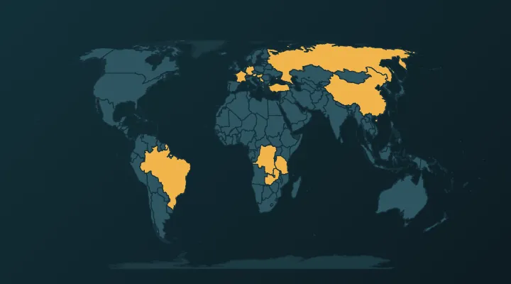
China and Russia have 14 neighbours each. The full ranking, why lists disagree, and the 40 island nations with no land border.
 The 20 Largest Countries in the World by Area – and Where They Are
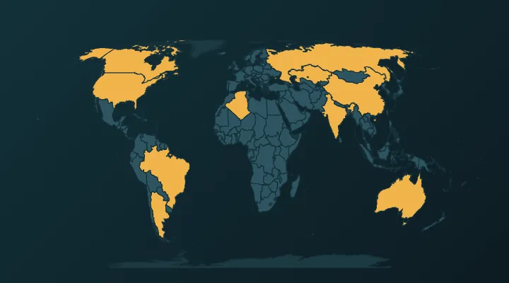
The 20 biggest countries by area, where each one is, why China and the US swap places, and why Greenland looks bigger than it is.
 How Many Countries Are There in the World? (195, 197 or More?)
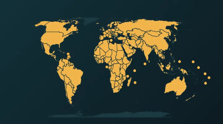
193, 195 or 197? What each count includes – Vatican, Palestine, Kosovo, Taiwan – why we use 197, and the places left out.