Canada vs United States
Two countries people mix up, side by side. Facts first, then how to keep them apart on the map.
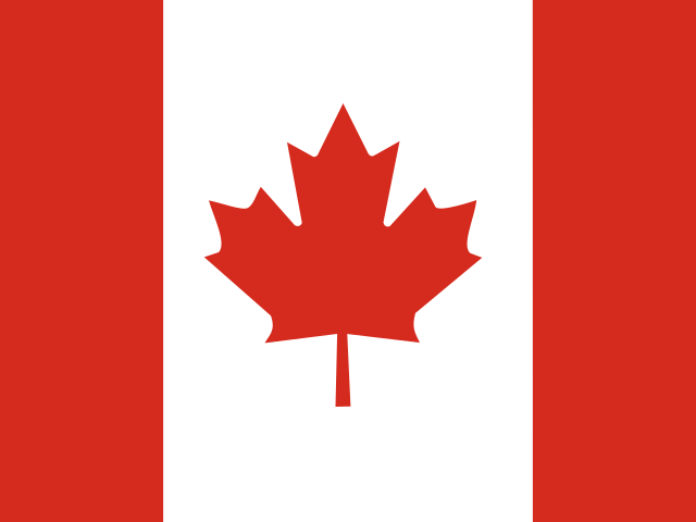
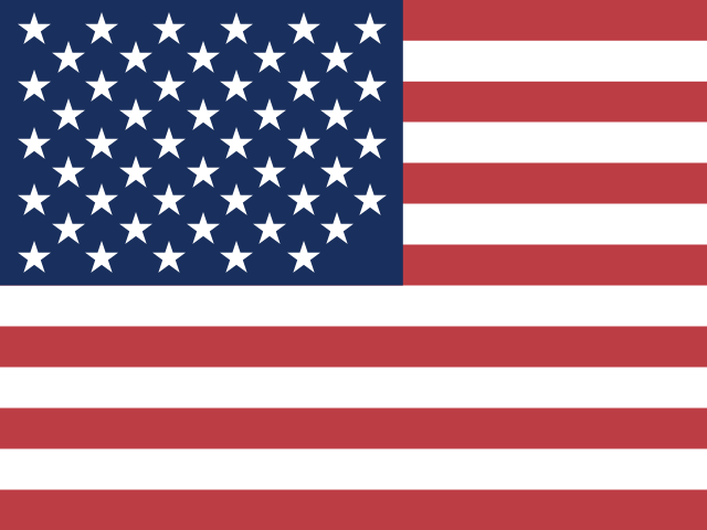
| Canada | United States | |
|---|---|---|
| Capital | Ottawa | Washington D.C. |
| Continent | North America | North America |
| Population | 37.6 million | 328.2 million |
| Area | 9,984,670 km² | 9,372,610 km² |
| Neighbours | United States | Canada and Mexico |
| Languages | English, French | English |
| Currency | Canadian dollar (CAD) | US dollar (USD), US dollar (next day) (USN) |
Canada is about 1.1 times the size of United States, and United States has about 8.7 times the population of Canada.
Why people mix them up
Canada and the United States share the longest international border in the world, and together they cover most of North America. Both are English-speaking federal countries, both currencies are called the dollar, and their cities, accents and culture can seem very similar to outsiders. The most common question is which one is bigger, because the answer depends on whether you mean land area or people.
How to tell them apart
- Canada is larger by total area, the second-largest country in the world; the United States has far more people, roughly eight times as many.
- Canada's flag is a red maple leaf on white between two red bands; the US flag has thirteen red and white stripes and fifty white stars on blue.
- The capitals are Ottawa (Canada) and Washington, D.C. (United States). Ottawa lies in Ontario, close to the Quebec border.
- Canada is officially bilingual in English and French, with French the majority language in Quebec.
- Canada borders only the United States; the US also borders Mexico in the south.
- Canada is divided into provinces and territories; the United States is divided into fifty states.
Memory hook
Canada is the cold, wide top with the maple leaf; the US is the stars-and-stripes middle, with Alaska tucked onto Canada's northwest corner like a borrowed piece.
On the map
Find North America. The huge country filling the northern part, stretching from the Pacific to the Atlantic and up into the Arctic islands, is Canada. The country below it, between Canada and Mexico, is the United States, which also includes Alaska in the far northwest, west of Canada's Yukon, and Hawaii in the Pacific. If you are tapping the Arctic islands or Hudson Bay, it is Canada.
Practise
More like this
- 15 pairs of countries people constantly mix upSlovakia vs Slovenia, Niger vs Nigeria – and how to keep each pair apart.
- Flags that look alike (and how to tell them apart)Chad or Romania? Australia or New Zealand? The flag pairs that cost quiz points.
- The 25 hardest countries to find on a mapPacific islands, Caribbean islands and landlocked Africa – where they are.