Africa in 1914 outlines quiz
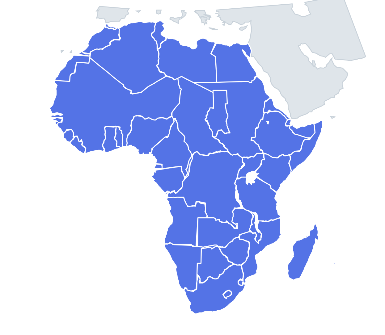
Only the shape is shown, with no map around it. Can you tell which territory it is? A good way to really learn Africa in 1914.
Top scores
- Loading the leaderboard…
Play in full screen, finish with 100% and post your time to get on the board. All leaderboards
Your next quiz
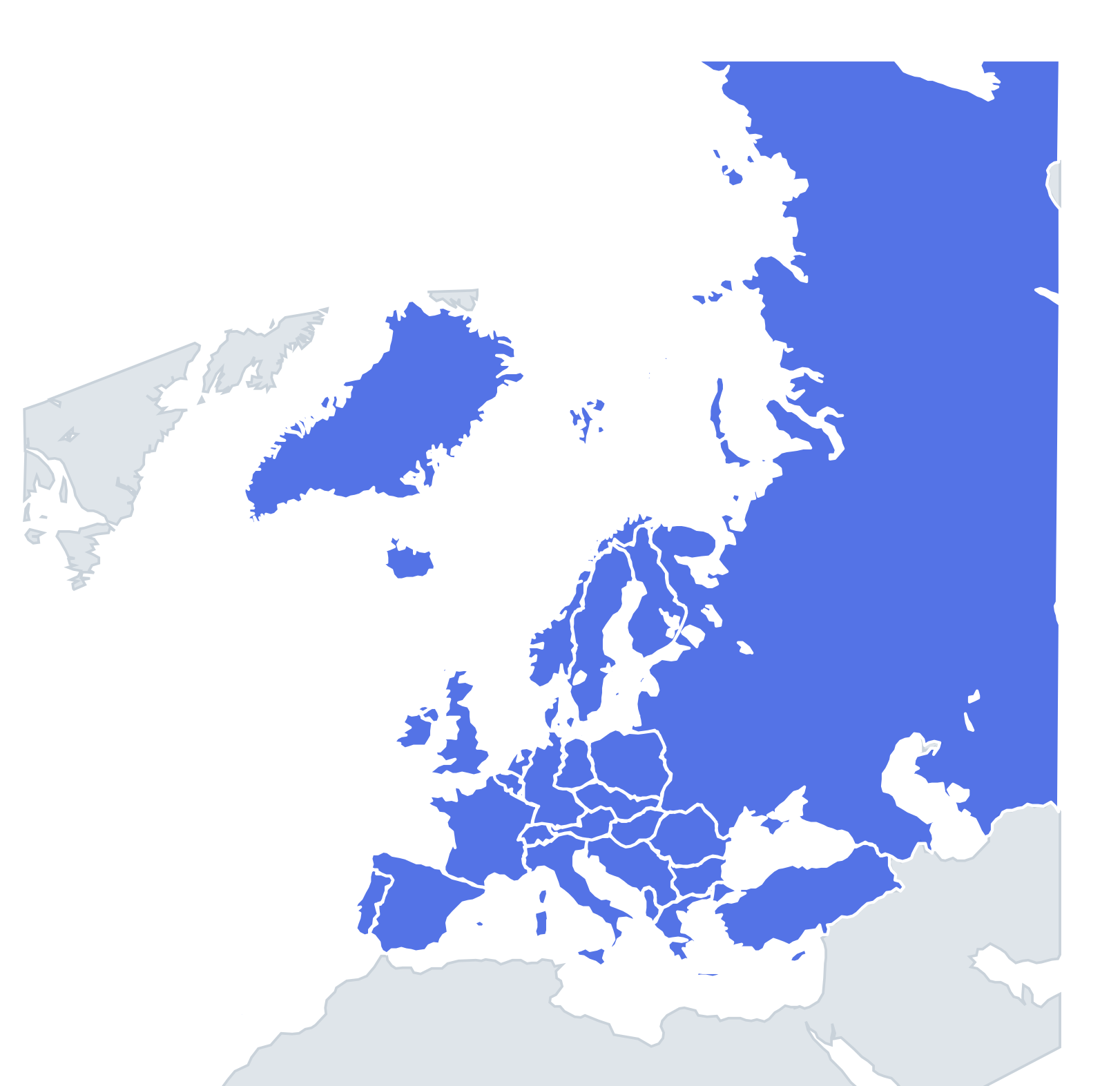 Cold War Europe (1985) quiz35 countries
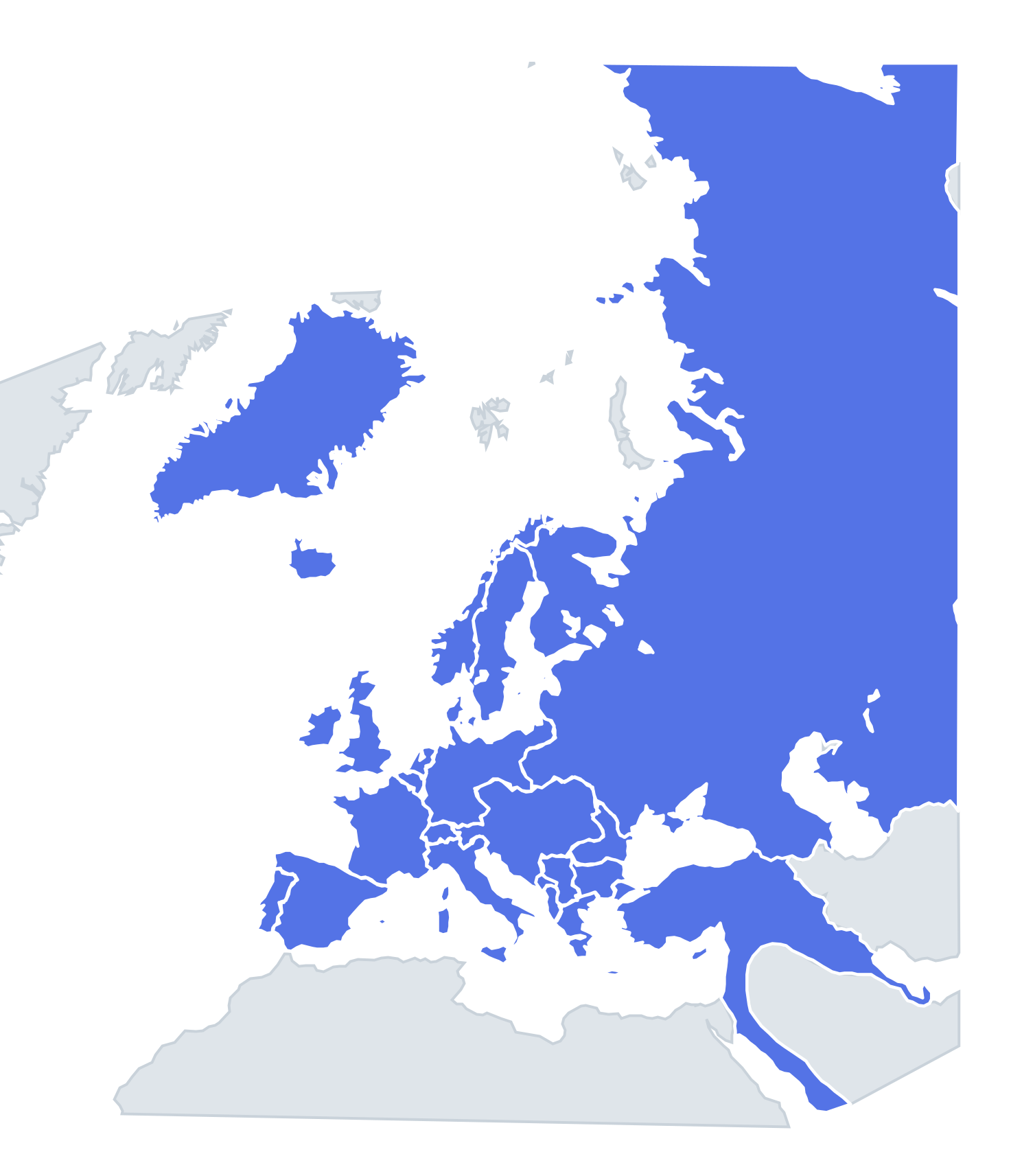 Europe in 1914 quiz26 countries
How it works
Each question shows one outline and four names. Similar-sized territories are mixed in, so it gets tricky.
All 46 territories in this quiz
Anglo-Egyptian Sudan, Basutoland, Bechuanaland, Belgian Congo, British East Africa, British Somaliland, Cape Verde, Darfur (independent), Egypt, Ethiopia (independent), French Algeria, French Equatorial Africa, French Madagascar, French Morocco, French Somaliland, French Tunisia, French West Africa, Gambia, German East Africa, German Kamerun, German South-West Africa, German Togoland, Gold Coast, Italian Eritrea, Italian Libya, Italian Somaliland, Liberia (independent), Mauritius, Nigeria, Northern Rhodesia, Nyasaland, Portuguese Angola, Portuguese Guinea, Portuguese Mozambique, Réunion, São Tomé and Príncipe, Seychelles, Sierra Leone, Southern Rhodesia, Spanish Guinea, Spanish Morocco, Spanish Sahara, Swaziland, Uganda, Union of South Africa, Zanzibar.
More Africa in 1914 quizzes
Historical borders: historical-basemaps by A. Ourednik, GPL-3.0 · OpenHistoricalMap (CC0).