Mexico vs United States
Two countries people mix up, side by side. Facts first, then how to keep them apart on the map.
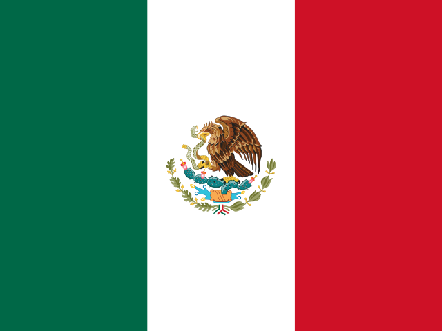
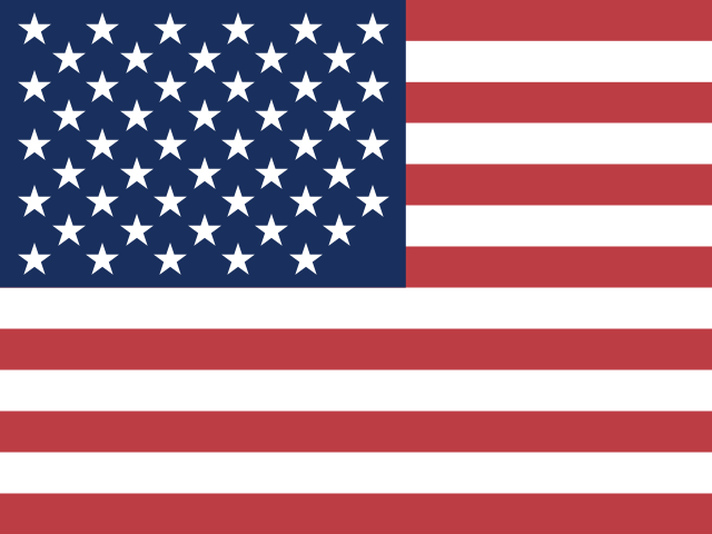
| Mexico | United States | |
|---|---|---|
| Capital | Mexico City | Washington D.C. |
| Continent | North America | North America |
| Population | 127.6 million | 328.2 million |
| Area | 1,964,375 km² | 9,372,610 km² |
| Neighbours | Belize, Guatemala and United States | Canada and Mexico |
| Languages | Spanish | English |
| Currency | Mexican peso (MXN) | US dollar (USD), US dollar (next day) (USN) |
United States is about 4.8 times the size of Mexico, and United States has about 2.6 times the population of Mexico.
Why people mix them up
Mexico and the United States are not usually confused by name, but they are neighbours sharing a long land border, and people often compare them: which is bigger, where the border runs, and how the two countries differ. Both are federal republics made up of states, both have coastlines on the Pacific and on the Atlantic side, and large parts of the US Southwest were once Mexican territory.
How to tell them apart
- The United States is about five times larger by area and has far more people, although Mexico is still one of the most populous countries in the Americas.
- Mexico's flag is a vertical tricolour of green, white and red with an eagle on a cactus eating a snake; the US flag has stars and stripes.
- The capitals are Mexico City (Mexico) and Washington, D.C. (United States). Mexico City sits on a high plateau in the centre of the country.
- Spanish is the main language of Mexico, which also recognises dozens of Indigenous languages; English is the main language of the United States.
- Mexico uses the peso; the United States uses the dollar.
- Mexico borders Guatemala and Belize to the south; the United States borders Canada to the north.
Memory hook
Mexico's flag tells a story with its eagle and snake; the US flag counts its states with stars. Follow the Rio Grande: north is the US, south is Mexico.
On the map
Find North America and look below the United States. Mexico narrows as it runs southeast, curving down to Central America, with the long Baja California peninsula hanging off its northwest and the Yucatán Peninsula pointing north on its east side. Much of the eastern part of the border follows the Rio Grande. If you are tapping the country that touches Guatemala, it is Mexico.
Practise
More like this
- 15 pairs of countries people constantly mix upSlovakia vs Slovenia, Niger vs Nigeria – and how to keep each pair apart.
- Flags that look alike (and how to tell them apart)Chad or Romania? Australia or New Zealand? The flag pairs that cost quiz points.
- The 25 hardest countries to find on a mapPacific islands, Caribbean islands and landlocked Africa – where they are.