Namibia vs Botswana
Two countries people mix up, side by side. Facts first, then how to keep them apart on the map.
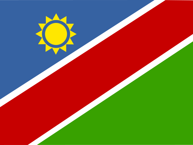
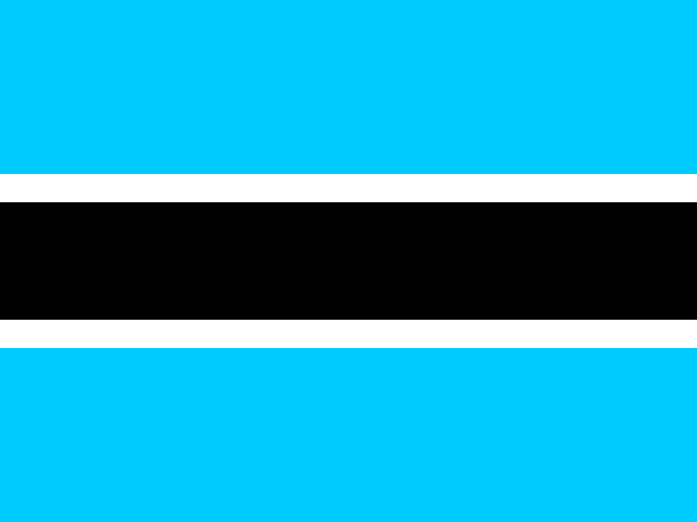
| Namibia | Botswana | |
|---|---|---|
| Capital | Windhoek | Gaborone |
| Continent | Africa | Africa |
| Population | 2.5 million | 2.3 million |
| Area | 825,615 km² | 582,000 km² |
| Neighbours | Angola, Botswana, South Africa and Zambia | Namibia, South Africa and Zimbabwe |
| Languages | English, Afrikaans | English, Tswana |
| Currency | Namibian dollar (NAD), South African rand (ZAR) | Botswana pula (BWP) |
Namibia is about 1.4 times the size of Botswana, and Namibia has about 1.1 times the population of Botswana.
Why people mix them up
Namibia and Botswana are neighbours in southern Africa, both large, dry and sparsely populated, with famous deserts and wildlife. Both use English as an official language, both became independent from colonial rule in the twentieth century, and both border South Africa. On a map they sit side by side above South Africa, so people often swap them or ask which is bigger.
How to tell them apart
- Namibia has an Atlantic coastline; Botswana is landlocked.
- Namibia's flag has a diagonal red band edged in white between blue and green triangles, with a gold sun; Botswana's is light blue with a black horizontal stripe edged in white.
- The capitals are Windhoek (Namibia) and Gaborone (Botswana). Gaborone lies close to the South African border.
- Namibia is the larger country, about 825,000 km² against Botswana's roughly 582,000 km².
- Namibia is home to the Namib Desert and its red dunes; Botswana is dominated by the Kalahari and the Okavango Delta.
- The currencies are the Namibian dollar and the Botswana pula.
Memory hook
Namibia has the Namib and the ocean; Botswana is the Basin inland, where the Okavango River spreads out and disappears into the Kalahari.
On the map
Find South Africa and look directly north. On the Atlantic side, the large country along the coast is Namibia, with a long, thin arm, the Zambezi Region (formerly the Caprivi Strip), reaching east along Botswana's northern edge. Botswana is the landlocked country inland, east of Namibia and west of Zimbabwe. If the country you are tapping has a coastline, it is Namibia.
Practise
More like this
- 15 pairs of countries people constantly mix upSlovakia vs Slovenia, Niger vs Nigeria – and how to keep each pair apart.
- Flags that look alike (and how to tell them apart)Chad or Romania? Australia or New Zealand? The flag pairs that cost quiz points.
- The 25 hardest countries to find on a mapPacific islands, Caribbean islands and landlocked Africa – where they are.