Armenia vs Azerbaijan
Two countries people mix up, side by side. Facts first, then how to keep them apart on the map.
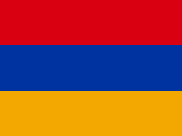
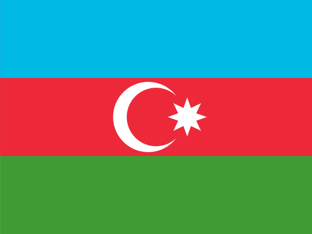
| Armenia | Azerbaijan | |
|---|---|---|
| Capital | Yerevan | Baku |
| Continent | Asia | Asia |
| Population | 3 million | 10 million |
| Area | 29,743 km² | 86,600 km² |
| Neighbours | Azerbaijan, Georgia, Iran and Turkey | Armenia, Georgia, Iran, Russia and Turkey |
| Languages | Armenian, Russian | Azerbaijani |
| Currency | Armenian dram (AMD) | Azerbaijani manat (AZN) |
Azerbaijan is about 2.9 times the size of Armenia, and Azerbaijan has about 3.4 times the population of Armenia.
Why people mix them up
Armenia and Azerbaijan are neighbours in the South Caucasus, both former Soviet republics that became independent in 1991. Both flags are horizontal tricolours that include red and blue, both names start with "A", and they often appear in the news together. People also search how the two differ in language, size and geography, and why part of Azerbaijan is separated from the rest by Armenian territory.
How to tell them apart
- Azerbaijan has a coastline on the Caspian Sea; Armenia is landlocked.
- Armenia's flag has red, blue and orange stripes; Azerbaijan's has blue, red and green stripes with a white crescent and eight-pointed star.
- The capitals are Yerevan (Armenia) and Baku (Azerbaijan). Baku lies on a peninsula on the Caspian coast.
- Armenian is an Indo-European language with its own alphabet; Azerbaijani is a Turkic language written in the Latin alphabet.
- Azerbaijan is the larger country, about 86,600 km², nearly three times the area of Armenia.
- Azerbaijan includes the exclave of Nakhchivan, separated from the main territory by Armenia and bordering Iran and Turkey.
Memory hook
Armenia's flag goes red, blue, orange like an evening sky; Azerbaijan's goes blue, red, green with a moon and star. Azerbaijan is the one with the sea, at the Caspian end of the Caucasus.
On the map
Find the Caspian Sea and look at its western shore, south of Russia. The country along that shore, including the hooked Absheron Peninsula around Baku, is Azerbaijan. Move west, inland, and you reach Armenia, a small landlocked country between Georgia, Turkey and Iran. Southwest of Armenia, on the Iranian border, is Nakhchivan, part of Azerbaijan. If the country you are tapping touches the Caspian or Russia, it is Azerbaijan.
Practise
More like this
- 15 pairs of countries people constantly mix upSlovakia vs Slovenia, Niger vs Nigeria – and how to keep each pair apart.
- Flags that look alike (and how to tell them apart)Chad or Romania? Australia or New Zealand? The flag pairs that cost quiz points.
- The 25 hardest countries to find on a mapPacific islands, Caribbean islands and landlocked Africa – where they are.