Bangladesh vs India
Two countries people mix up, side by side. Facts first, then how to keep them apart on the map.
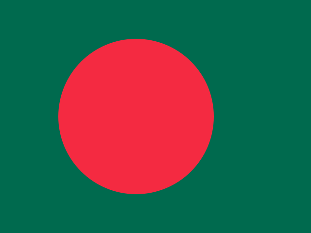
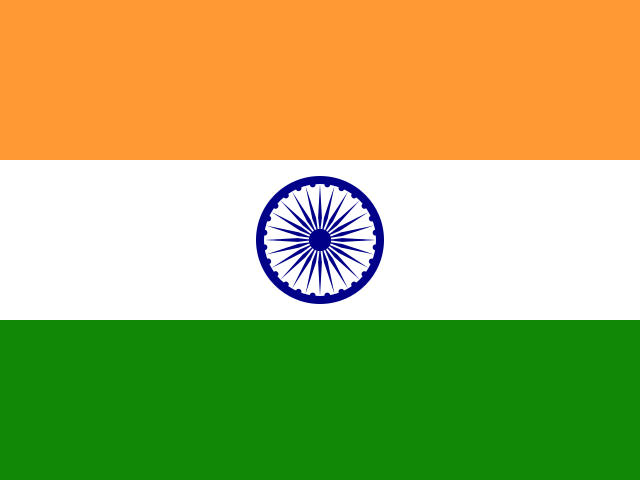
| Bangladesh | India | |
|---|---|---|
| Capital | Dhaka | New Delhi |
| Continent | Asia | Asia |
| Population | 163 million | 1366.4 million |
| Area | 147,570 km² | 3,287,590 km² |
| Neighbours | India and Myanmar | Bangladesh, Bhutan, China, Myanmar, Nepal and Pakistan |
| Languages | Bengali | Hindi, English |
| Currency | Bangladeshi taka (BDT) | Indian rupee (INR) |
India is about 22.3 times the size of Bangladesh, and India has about 8.4 times the population of Bangladesh.
Why people mix them up
Bangladesh is almost entirely surrounded by India, sharing only a short border with Myanmar and a coastline on the Bay of Bengal. Bengali is the national language of Bangladesh and also the main language of the neighbouring Indian state of West Bengal, so the region of Bengal is split between the two countries. People often ask whether Bangladesh was once part of India, and in a way it was: it was part of British India, then East Pakistan, before becoming independent in 1971.
How to tell them apart
- India is more than twenty times the area of Bangladesh, though Bangladesh is one of the most densely populated countries in the world.
- Bangladesh's flag is green with a red disc set slightly towards the hoist; India's has saffron, white and green horizontal stripes with a blue wheel.
- The capitals are Dhaka (Bangladesh) and New Delhi (India).
- Bangladesh's official language is Bengali; India's national official languages are Hindi and English.
- Bangladesh is largely the low, flat delta of the Ganges and Brahmaputra rivers; India stretches from the Himalayas to the tropical south.
- The currencies are the taka (Bangladesh) and the rupee (India).
Memory hook
Bangladesh's flag is a red sun rising over green delta land. Find the Bay of Bengal, and Bangladesh sits right at its top, held in India's arms.
On the map
Find the Bay of Bengal, east of India's peninsula. At the very top of the bay is a small, low-lying country almost enclosed by Indian territory: that is Bangladesh. India wraps around it on the west, north and east, with the narrow Siliguri Corridor connecting India's northeastern states to the rest of the country. If the country you are tapping touches Myanmar and sits at the head of the bay, it is Bangladesh.
Practise
More like this
- 15 pairs of countries people constantly mix upSlovakia vs Slovenia, Niger vs Nigeria – and how to keep each pair apart.
- Flags that look alike (and how to tell them apart)Chad or Romania? Australia or New Zealand? The flag pairs that cost quiz points.
- The 25 hardest countries to find on a mapPacific islands, Caribbean islands and landlocked Africa – where they are.