Europe in 1939 outlines quiz
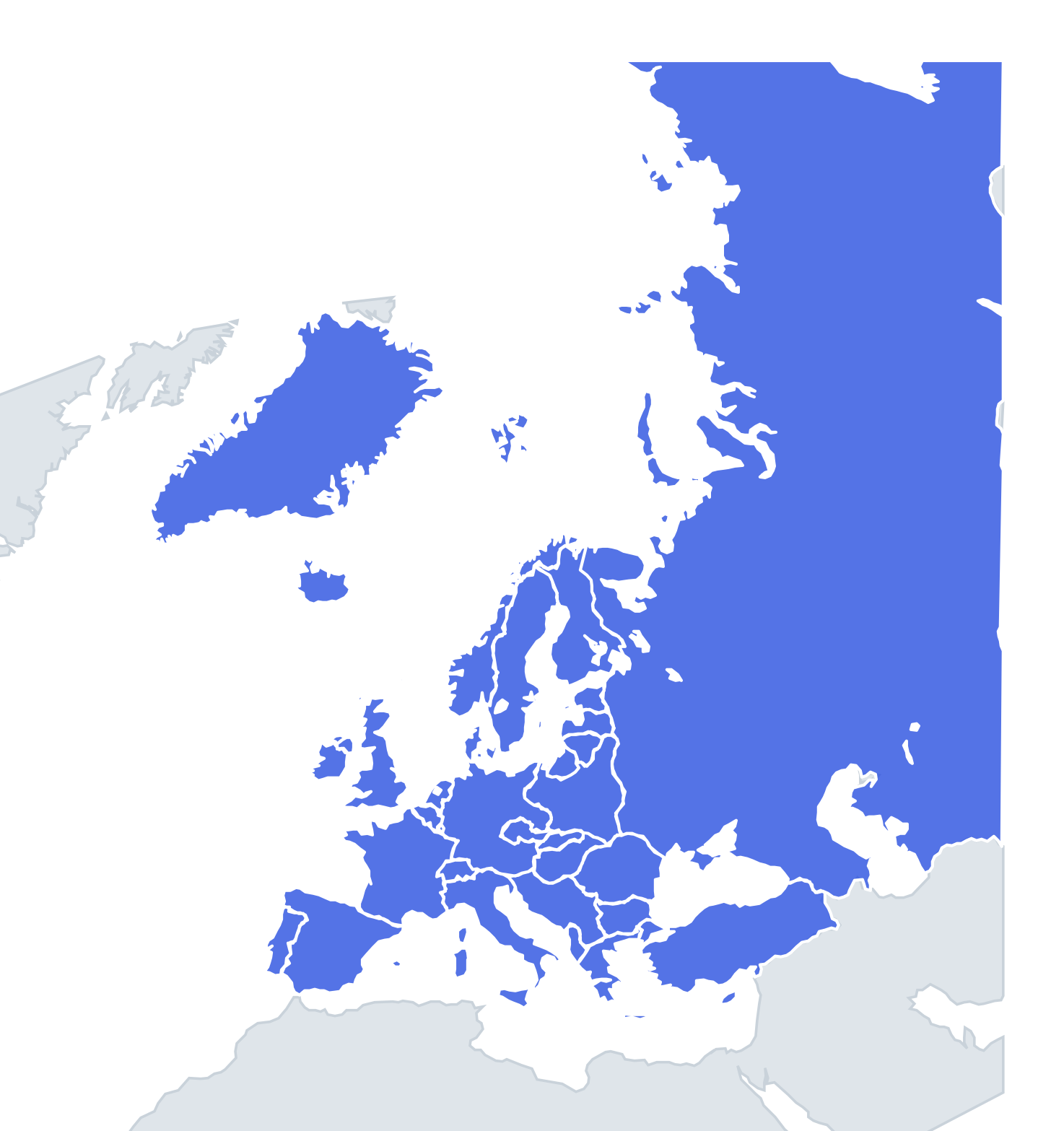
Only the shape is shown, with no map around it. Can you tell which country it is? A good way to really learn Europe in 1939.
Top scores
- Loading the leaderboard…
Play in full screen, finish with 100% and post your time to get on the board. All leaderboards
Your next quiz
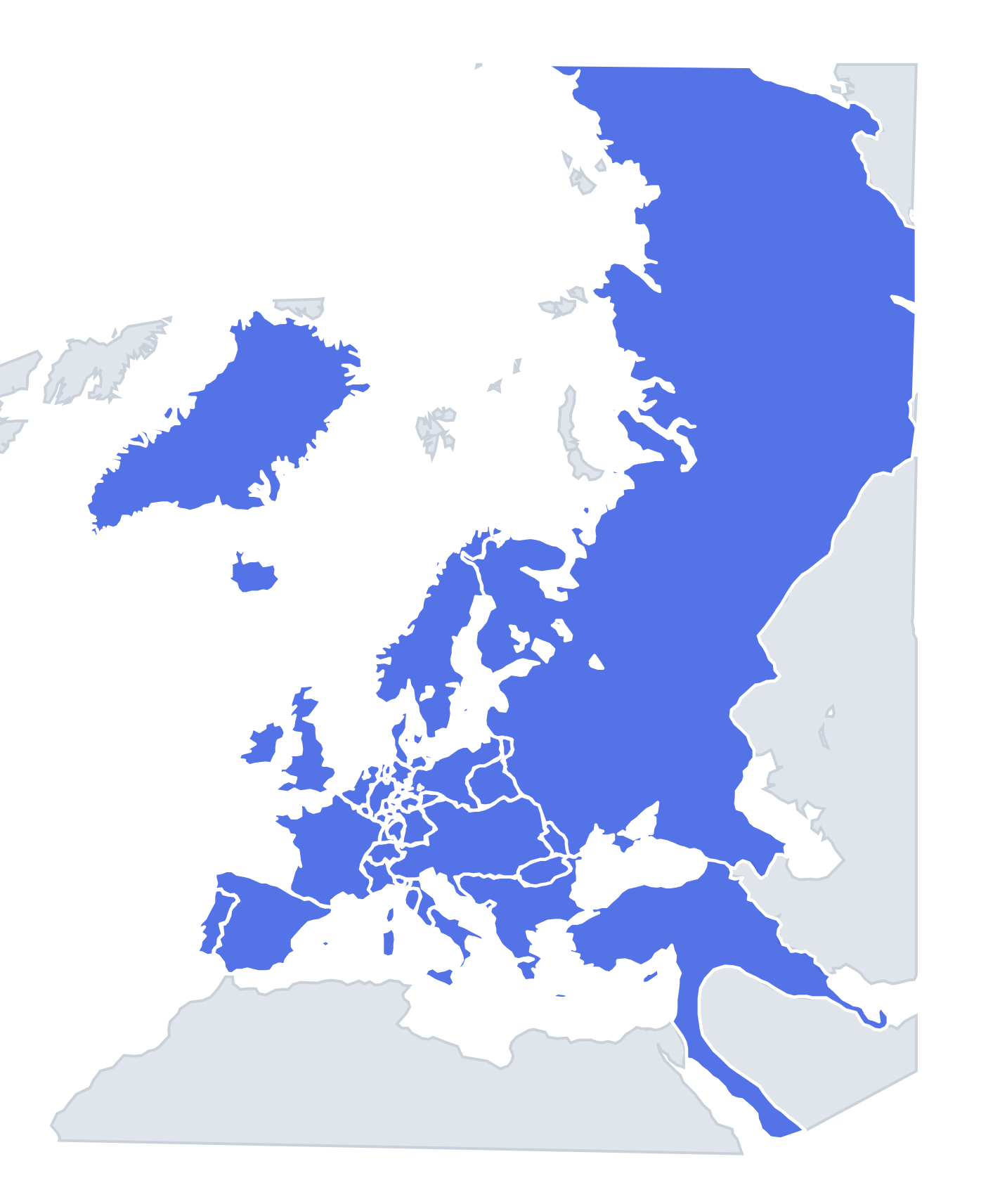 Europe in 1815 quiz51 states
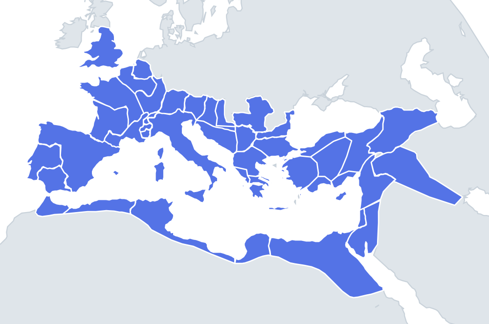 Roman Empire (AD 117) quiz46 provinces
How it works
Each question shows one outline and four names. Similar-sized countries are mixed in, so it gets tricky.
All 36 countries in this quiz
Albania, Andorra, Belgium, Bulgaria, Denmark, Estonia, Finland, France, Free City of Danzig, German Reich, Greece, Hungary, Iceland, Ireland, Italy, Latvia, Liechtenstein, Lithuania, Luxembourg, Monaco, Netherlands, Norway, Poland, Portugal, Protectorate of Bohemia and Moravia, Romania, San Marino, Slovakia, Soviet Union, Spain, Sweden, Switzerland, Turkey, United Kingdom, Vatican City, Yugoslavia.
More Europe in 1939 quizzes
Historical borders: historical-basemaps by A. Ourednik, GPL-3.0 · OpenHistoricalMap (CC0).