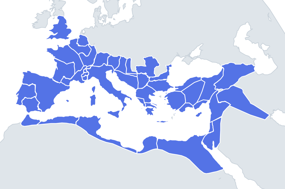
Roman Empire (AD 117) outlines quiz
Only the shape is shown, with no map around it. Can you tell which province it is? A good way to really learn Roman Empire (AD 117).
Top scores
- Loading the leaderboard…
Play in full screen, finish with 100% and post your time to get on the board. All leaderboards
Your next quiz
 Europe in 1914 quiz26 countries
 Africa in 1914 quiz46 territories
How it works
Each question shows one outline and four names. Similar-sized provinces are mixed in, so it gets tricky.
All 46 provinces in this quiz
Achaea, Aegyptus, Africa Proconsularis, Alpes Cottiae, Alpes Graiae et Poeninae, Alpes Maritimae, Arabia Petraea, Armenia, Asia, Bithynia et Pontus, Britannia, Cappadocia, Cilicia, Corsica, Creta et Cyrenaica, Cyprus, Dacia, Dalmatia, Epirus, Galatia, Gallia Aquitania, Gallia Belgica, Gallia Lugdunensis, Gallia Narbonensis, Germania Inferior, Germania Superior, Hispania Baetica, Hispania Tarraconensis, Italia, Iudaea, Lusitania, Lycia et Pamphylia, Macedonia, Mauretania Caesariensis, Mauretania Tingitana, Mesopotamia, Moesia Inferior, Moesia Superior, Noricum, Pannonia Inferior, Pannonia Superior, Raetia, Sardinia, Sicilia, Syria, Thracia.
More Roman Empire (AD 117) quizzes
Roman provinces: OpenHistoricalMap (CC0), checked against the Ancient World Mapping Center maps; some provincial borders in Greece and Anatolia drawn by hand.