India vs Pakistan
Two countries people mix up, side by side. Facts first, then how to keep them apart on the map.
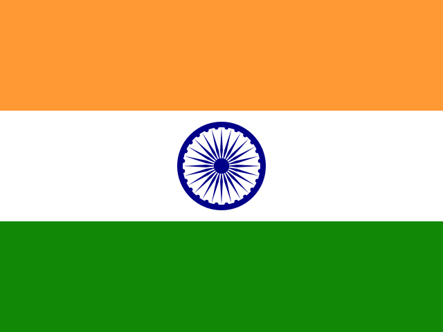
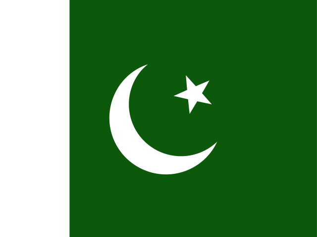
| India | Pakistan | |
|---|---|---|
| Capital | New Delhi | Islamabad |
| Continent | Asia | Asia |
| Population | 1366.4 million | 216.6 million |
| Area | 3,287,590 km² | 881,912 km² |
| Neighbours | Bangladesh, Bhutan, China, Myanmar, Nepal and Pakistan | Afghanistan, China, India and Iran |
| Languages | Hindi, English | English, Urdu |
| Currency | Indian rupee (INR) | Pakistani rupee (PKR) |
India is about 3.7 times the size of Pakistan, and India has about 6.3 times the population of Pakistan.
Why people mix them up
India and Pakistan are neighbours in South Asia that were part of British India until the partition of 1947. They share a long border, closely related languages, similar food and a famous cricket rivalry. The name of the Indus River, which flows mostly through Pakistan, is the origin of the word "India", which adds to the confusion. People often compare them by size and ask where exactly the border runs.
How to tell them apart
- India is much larger, nearly four times the area of Pakistan, and has far more people.
- India's flag has saffron, white and green horizontal stripes with a blue wheel; Pakistan's is green with a white vertical band at the hoist and a white crescent and star.
- The capitals are New Delhi (India) and Islamabad (Pakistan).
- India's official languages at national level are Hindi and English; Pakistan's are Urdu and English.
- Pakistan lies to the northwest of India, with Iran and Afghanistan on its western side.
- India borders Nepal, Bhutan, Bangladesh and Myanmar; Pakistan borders none of these.
Memory hook
Pakistan is in the Upper-left corner, along the Indus; India is the big triangle pointing down into the Indian Ocean.
On the map
Find the large triangular peninsula of South Asia pointing into the Indian Ocean. That is India. Pakistan is the country to its northwest, running from the Arabian Sea coast near Karachi up to the mountains, with Iran and Afghanistan on its other side. In the far north, the region of Kashmir is administered in parts by India, Pakistan and China, and its status is disputed, so borders there appear differently on different maps. If the country you are tapping touches Iran, it is Pakistan.
Practise
More like this
- 15 pairs of countries people constantly mix upSlovakia vs Slovenia, Niger vs Nigeria – and how to keep each pair apart.
- Flags that look alike (and how to tell them apart)Chad or Romania? Australia or New Zealand? The flag pairs that cost quiz points.
- The 25 hardest countries to find on a mapPacific islands, Caribbean islands and landlocked Africa – where they are.