Mali vs Malawi
Two countries people mix up, side by side. Facts first, then how to keep them apart on the map.
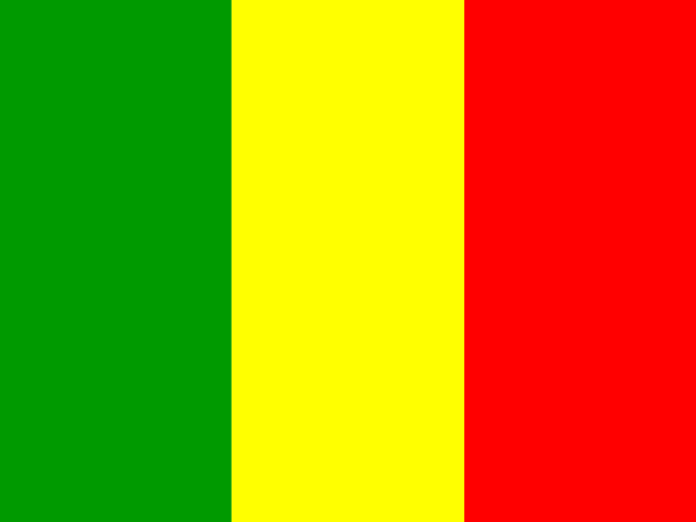
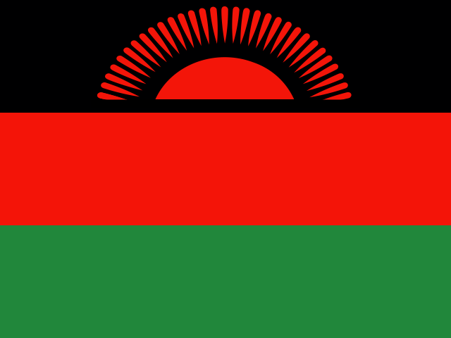
| Mali | Malawi | |
|---|---|---|
| Capital | Bamako | Lilongwe |
| Continent | Africa | Africa |
| Population | 19.7 million | 18.6 million |
| Area | 1,240,192 km² | 118,484 km² |
| Neighbours | Algeria, Burkina Faso, Guinea, Ivory Coast, Mauritania, Niger and Senegal | Mozambique, Tanzania and Zambia |
| Languages | French | English, Chichewa |
| Currency | West African CFA franc (XOF) | Malawian kwacha (MWK) |
Mali is about 10.5 times the size of Malawi, and Mali has about 1.1 times the population of Malawi.
Why people mix them up
The names share the same first three letters and both are landlocked African countries with small economies that rarely make Western headlines. That is about where the similarity ends. Mali is a vast, mostly Saharan country in West Africa with a French-speaking, Muslim-majority population, while Malawi is a small, long and narrow country in south-eastern Africa, built around one of the largest lakes in the world. They are more than 4,000 km apart.
How to tell them apart
- Mali is in West Africa, in the Sahara and Sahel; Malawi is in south-eastern Africa, between Tanzania, Mozambique and Zambia.
- Mali is roughly ten times bigger: about 1.24 million km² against Malawi's 118,000 km².
- Malawi is dominated by Lake Malawi, which runs almost the full length of the country; Mali's water is the Niger River, which loops through Timbuktu.
- Mali's flag is green-yellow-red vertical stripes; Malawi's is black-red-green horizontal with a red rising sun in the black band.
- Mali's official language is French and its capital is Bamako; Malawi's are English and Chichewa, with its capital at Lilongwe.
- Mali's shape is a big block with a long tail to the south-west; Malawi is a thin strip along the lake.
Memory hook
Mal-I is "in" the Sahara, short name, big desert; Mal-AWI is "away" down south, with the water: the extra letters belong to the lake country.
On the map
For Mali, find Algeria and tap the large country below its south-western border, inland from Senegal and north of Burkina Faso and Guinea. For Malawi, find Mozambique on the south-east coast and tap the thin sliver poking into its northern side, with the long lake on its eastern edge and Zambia to the west. If you are near the Atlantic side of the continent you are looking for Mali; if you are near the Indian Ocean side, Malawi.
Practise
More like this
- 15 pairs of countries people constantly mix upSlovakia vs Slovenia, Niger vs Nigeria – and how to keep each pair apart.
- Flags that look alike (and how to tell them apart)Chad or Romania? Australia or New Zealand? The flag pairs that cost quiz points.
- The 25 hardest countries to find on a mapPacific islands, Caribbean islands and landlocked Africa – where they are.